

Town Apizaco, Tlaxcala Municipality of Apizaco
Third-largest locality in Apizaco (7,798 people in 2020); its hill gave its name to the Texcalac archaeological phase, and it keeps a ruined church.
From Chiautempan: 20 min by car (22 km by road) How to get there ↓
Near here


Plan your visit to Santa María Texcalac
Where to stay near Santa María Texcalac
Compare hotels, posadas and guest houses in Santa María Texcalac.
Tours to Santa María Texcalac
Day trips around Huamantla sometimes stop in Santa María Texcalac; a tour is the easy way to see it without a car.
 Tours from Puebla City
Africam Safari Zoo Admission with Transportation
★ 4.8 (87) · From US$35
How to get to Santa María Texcalac
- From Chiautempan: about 20 min by road (~22 km)
- Nearest airport: Puebla (PBC), 1 h 5 min by car to Huamantla
Links open a partner site. We may earn a commission if you book, at no cost to you.
Tours from Puebla City, near Santa María Texcalac


Tours, prices and ratings from Viator, checked weekly. We may earn a commission if you book.
About Santa María Texcalac
Santa María Texcalac is the third-largest locality in the municipality of Apizaco, with 7,798 residents at the 2020 census, at about 2,420 metres above sea level. Texcalac comes from Nahuatl and Wikipedia's entry explains it as water among the rocks, with devotion to Saint Mary as its title. The population has grown steadily from 1,020 in 1900 and was already 4,780 in 1990.
Its name carries more weight in Tlaxcalan archaeology than in any guidebook: according to the Enciclopedia de los Municipios, the hill of Santa María Texcalac gave its name to the Texcalac cultural phase, which begins around the year 650, and it was one of three sites of that phase in the municipality, along with Cerro Ahuatepec and San Miguel Contla. Texcalac and Ahuatepec belonged to the Teotihuacan trade corridor between Apizaco and Huamantla. The Texcalac river also runs through the area, about 2 km within the municipality, and joins the Atenco river to form the Apizaco river.
The most visible monument is the former monastery and church of Santa María Texcalac, now in ruins. No construction date is documented because it is not mentioned in sixteenth-century papers, but it is thought to date from then. It keeps the choir's ajimez window in an alfiz on the facade, remains of the left side tower, an entrance of two columns with a carved stone semicircular arch and, from the cloister, the ground plan and some walls with the springing of arches. Railway tracks pass through the locality, part of the railway story that gave rise to Apizaco in 1866.
How to get to Santa María Texcalac
Drive from Chiautempan: 20 min, 22 km
Santa María Texcalac is about 5.5 km east of central Apizaco as the crow flies (approximate distance measured on the map), within the same municipality. The Enciclopedia de los Municipios places the Texcalac church in the municipality of Apizaco and gives the Apizaco-San Francisco Atexcatzinco road as a reference for another monument. From Apizaco head east on local streets to the village; the last stretch goes through the village and crosses the tracks. There is no published bus or colectivo schedule to Texcalac; the practical way is to reach Apizaco and continue by taxi. Huamantla is about 21 km and Puebla about 43 km away, approximately.
Directions to Santa María Texcalac on Google Maps
Distances are in a straight line; the road is usually longer.
Links open a partner site. We may earn a commission if you book, at no cost to you.
From the nearest cities to Santa María Texcalac
- Chiautempan · 22 km by road, 20 min
- Huamantla · 25 km by road, 20 min
- San Martín Texmelucan · 46 km by road, 35 min
Drive times by road from OpenStreetMap, without traffic or stops. Times marked ~ are estimated from the straight-line distance.
Map of Santa María Texcalac
Neighbourhoods and villages of Santa María Texcalac
Part of Santa María Texcalac or just outside it, closest first.
-
Apizaco · Town · 3 km from the centre
Railway city in central Tlaxcala that grew from a Ferrocarril Mexicano work camp; its emblem is locomotive 212, La Maquinita. -
San Luis Apizaquito · Town · 3 km from the centre
The original San Luis Apizaco, 2 km from Apizaco: the railway city took its name from here. Fiesta 25 August and El Ojito dam. -
Tetla de la Solidaridad · Town · 3 km from the centre
Santiago Tetla, north of Apizaco: a pink-stone church, a lava field with a dwarf forest, metate and molcajete carvers and the Piedras Negras bull ranch.
Day trips and tours from Santa María Texcalac
The closest Pueblos Mágicos and places to visit, with the drive from Santa María Texcalac and tours that leave from it.


Times marked ~ are estimated from the distance. Links open a partner site. We may earn a commission if you book, at no cost to you.
Before you go: getting to and around Santa María Texcalac
- The nearest airport is Puebla (PBC).
- The best months to go are January, February, November, and December.
- Everything on this page is in or close to the centre: walk, or take a short taxi ride.
- For day trips a rental car gives the most freedom; the tours above leave from Santa María Texcalac.
Visiting Santa María Texcalac: what to see and do
See the ruins of the monastery and church of Santa María Texcalac: facade with ajimez window and alfiz
Walk beside the railway tracks that cross the village
Look at the Texcalac hill, the site that gave its name to the Texcalac archaeological phase
Follow the Texcalac river, which flows toward the Apizaco river
Continue to Apizaco, the city that began in 1866 as a railway camp
Plan your trip
Places to stay in Santa María Texcalac
Compare hotels, posadas, and rentals in and around Santa María Texcalac.
Tours & activities
Day trips around Huamantla sometimes stop in Santa María Texcalac; a tour is the easy way to see it without a car.
Rental cars
Pick up a car at PBC (Puebla): about 1 h 5 min by road to Huamantla, then 21 km more to Santa María Texcalac, on your own schedule.
Flights
The nearest airport with scheduled flights is Puebla (PBC), about 1 h 5 min by road from Huamantla, the base for Santa María Texcalac.
Mobile data
Signal can drop away from Huamantla: download a map of the way to Santa María Texcalac before you set out, or carry an eSIM with data.
Links open a partner site. We may earn a commission if you book, at no cost to you.
When to go to Santa María Texcalac cool
Santa María Texcalac shares the climate of Huamantla, 21 km away. The best months to visit are January, February, November, and December.
See the month-by-month climate of Huamantla
Weather in Santa María Texcalac now and the next 7 days
Live forecast from Open-Meteo. Chance of rain is the day's highest.
The closest Pueblo Mágico: Huamantla

Huamantla is the Pueblo Mágico closest to Santa María Texcalac, with places to stay, food, and more to see.
Also close to
- Tlaxco · Tlaxcala · 22 km away
- Ixtenco · Tlaxcala · 25 km away
- Huejotzingo · Puebla · 44 km away
- Cholula · Puebla · 46 km away
- Chignahuapan · Puebla · 46 km away
Near Santa María Texcalac


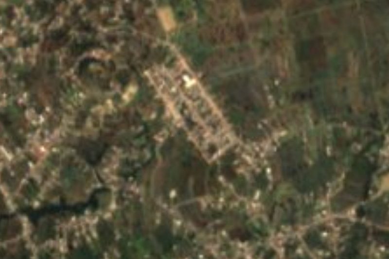
Drive times by road from OpenStreetMap, without traffic. Times marked ~ are estimated from the straight-line distance.
Location from OpenStreetMap. Written by Puebloteca.