

Village Atlangatepec, Tlaxcala Northern Tlaxcala
Hamlet in Atlangatepec at 2,578 m, with its own auxiliary municipal office and 413 residents, among hills and farmland.
From Chiautempan: 25 min by car (27 km by road) How to get there ↓
Near here
See everything nearby ↓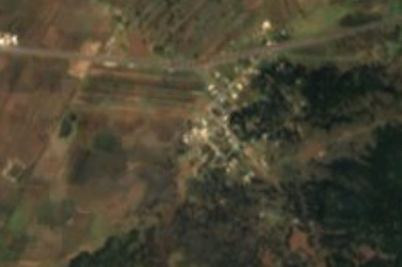


Plan your visit to Villa de las Flores
Where to stay near Villa de las Flores
Compare hotels, posadas and guest houses in Villa de las Flores.
Tours to Villa de las Flores
Day trips and guided outings from Tlaxco often include Villa de las Flores; with a local guide you can get there without a car.
 Tours from Puebla City
Africam Safari Zoo Admission with Transportation
★ 4.8 (87) · From US$35
How to get to Villa de las Flores
- From Chiautempan: about 25 min by road (~27 km)
- Nearest airport: Puebla (PBC), 1 h 6 min by car to Tlaxco
Links open a partner site. We may earn a commission if you book, at no cost to you.
Tours from Puebla City, near Villa de las Flores


Tours, prices and ratings from Viator, checked weekly. We may earn a commission if you book.
About Villa de las Flores
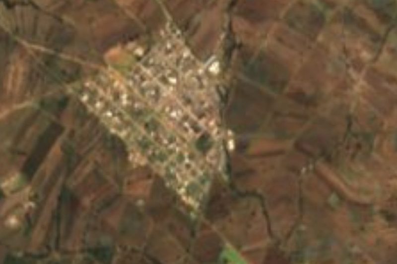
Villa de las Flores is a hamlet (ranchería) in the municipality of Atlangatepec, in the high country of northern Tlaxcala, at 2,578 metres above sea level. It has its own auxiliary municipal office, a brick-arcaded building signed "Presidencia Municipal Auxiliar Villa de las Flores". At the 2020 census it had 413 residents (361 in 2010 and 330 in 2005) and 109 occupied dwellings; its postal code is 90415.
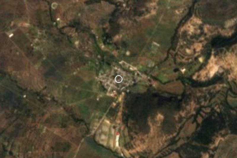
The settlement lies about 4.3 km east of Atlangatepec, the municipal seat, and about 10 km east of San Pedro Ecatepec, the municipality's largest locality. Hills close in around it: Loma Techopala (La Tambora, 2,645 m) is just over 1 km to the west, Cerro Zocac (2,734 m) about 2.4 km to the northeast and Cerro Tepetzala (2,774 m) about 3.4 km away. The municipality has haciendas with the same names, Zocac and San Antonio Tepetzala. Colonia Santa Rosa Mena (about 0.7 km, 101 residents) and Plan de Ayala (about 1.9 km, 555 residents) are the nearest neighbours.
The landscape is rolling farmland with a temperate, sub-humid climate and summer rain, and more than three quarters of the municipal area is cropland. The municipality holds the Atlangatepec reservoir, the largest in Tlaxcala by capacity, and the seat keeps the Franciscan convent of San Juan Bautista, built around 1574 of stone and xalnene. The municipality celebrates St John the Baptist on 24 June and the Holy Cross on 3 May.
How to get to Villa de las Flores
Drive from Chiautempan: 25 min, 27 km
Villa de las Flores is about 4.3 km east of Atlangatepec, which itself is about 25 km north of Tlaxcala city. From Tlaxco it is roughly 21 km (about 19 minutes by car); from Huamantla about 58 km (about 50 minutes). The last stretch leaves the municipal seat of Atlangatepec on the road heading east, with Colonia Santa Rosa Mena and Plan de Ayala within 2 km. There are no published bus or colectivo schedules to the locality: the practical way is to reach Atlangatepec or Tlaxco and continue by car or taxi.
Directions to Villa de las Flores on Google Maps
Distances are in a straight line; the road is usually longer.
Links open a partner site. We may earn a commission if you book, at no cost to you.
From the nearest cities to Villa de las Flores
- Chiautempan · 27 km by road, 25 min
- Huamantla · 39 km by road, 30 min
- San Martín Texmelucan · 50 km by road, 40 min
Drive times by road from OpenStreetMap, without traffic or stops. Times marked ~ are estimated from the straight-line distance.
Visiting Villa de las Flores: what to see and do
The auxiliary municipal office of Villa de las Flores, with its brick arcade.
Loma Techopala (La Tambora) and the Zocac and Tepetzala hills, with views over the farmland.
The Franciscan convent of San Juan Bautista, around 1574, in the municipal seat of Atlangatepec.
The Atlangatepec reservoir, the largest in Tlaxcala by capacity, in the same municipality.
The municipality's haciendas, such as San José Atlanga and La Trasquila.
Plan your trip
Places to stay in Villa de las Flores
Compare hotels, posadas, and rentals in and around Villa de las Flores.
Tours & activities
Day trips and guided outings from Tlaxco often include Villa de las Flores; with a local guide you can get there without a car.
Rental cars
Pick up a car at PBC (Puebla): about 1 h 6 min by road to Tlaxco, then 12 km more to Villa de las Flores, on your own schedule.
Flights
The nearest airport with scheduled flights is Puebla (PBC), about 1 h 6 min by road from Tlaxco, the base for Villa de las Flores.
Mobile data
Signal can drop away from Tlaxco: download a map of the way to Villa de las Flores before you set out, or carry an eSIM with data.
Links open a partner site. We may earn a commission if you book, at no cost to you.
When to go to Villa de las Flores cool
Villa de las Flores shares the climate of Tlaxco, 12 km away. The best months to visit are January, February, November, and December.
See the month-by-month climate of Tlaxco
Weather in Villa de las Flores now and the next 7 days
Live forecast from Open-Meteo. Chance of rain is the day's highest.
The closest Pueblo Mágico: Tlaxco

Tlaxco is the Pueblo Mágico closest to Villa de las Flores, with places to stay, food, and more to see.
Also close to
- Huamantla · Tlaxcala · 30 km away
- Ixtenco · Tlaxcala · 34 km away
- Chignahuapan · Puebla · 37 km away
- Tetela de Ocampo · Puebla · 47 km away
- Huejotzingo · Puebla · 49 km away
Closest to Villa de las Flores
-
Plan de Ayala · Village · 2 km away
-
Santa María Zotoluca · Village · 4 km away
-
San Francisco Atexcatzinco · Town · 5 km away
-
San Bartolomé Matlalohcan · Town · 7 km away
-
Tetla de la Solidaridad · Town · 7 km away
-
Capulac · Village · 8 km away
-
Hacienda Santa María Xalostoc · Landmark · 9 km away
-
San José Tetel · Town · 9 km away

Near Villa de las Flores


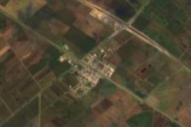

Drive times by road from OpenStreetMap, without traffic. Times marked ~ are estimated from the straight-line distance.
Location from OpenStreetMap. Written by Puebloteca.