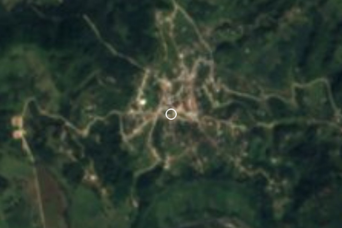
Village Xochitlán de Vicente Suárez, Puebla Sierra Norte de Puebla
The only sub-municipality of Xochitlán de Vicente Suárez, a Nahua village in the Sierra Norte at 1,556 m with rain nearly all year.
From Teziutlán: 55 min by car (61 km by road) How to get there ↓
Near here
See everything nearby ↓


Plan your visit to Huahuaxtla
Where to stay near Huahuaxtla
Compare hotels, posadas and guest houses in Huahuaxtla.
Tours to Huahuaxtla
Day trips and guided outings from Tlatlauquitepec often include Huahuaxtla; with a local guide you can get there without a car.
How to get to Huahuaxtla
- From Teziutlán: about 55 min by road (~61 km)
- Nearest airport: Poza Rica (PAZ), 2 h 6 min by car to Tlatlauquitepec
Links open a partner site. We may earn a commission if you book, at no cost to you.
About Huahuaxtla
Huahuaxtla is the only junta auxiliar, or sub-municipal district, of Xochitlán de Vicente Suárez, a small municipality of about 46 km² in the Sierra Norte of Puebla. The village lies about 6 km south of the seat, at 1,556 m, in the southern and highest part of the municipality, which has a mild, wet climate with rain all year. Weather records show more than 300 rainy days a year, and in December 1997 there was even a 1.5 cm snowfall.
The name is read as 'facing where there are trees', from the Nahuatl cuahuitl, tree, and ixtla, in front of. This is Nahua country: most people in the municipality speak Highland Puebla Nahuatl, and blouses are embroidered and shawls, skirts and sashes woven here.
In 2020 Huahuaxtla had 2,382 residents, nearly the same as in 2010 (2,471). A century ago it was much smaller: after 1,572 people in 1900, the 1921 census counted only 927. Farming is the main livelihood.
The seat, Xochitlán, keeps the parish church of San Bartolomé, built in 1633, whose feast on 24 August brings quetzalines, voladores, tejedores and huehues dances as well as a jaripeo. The seat also has the house of Vicente Suárez, the military cadet the municipality is named after, and about 3 km away the Balcón del Diablo lookout.
How to get to Huahuaxtla
Drive from Teziutlán: 55 min, 61 km
The usual way in is through Zacapoaxtla. From there take state highway 575 toward Cuetzalan and, a few kilometres on, turn onto the local road that climbs to Huahuaxtla and Xochitlán: about 16 km and 20 minutes in all. From the Pueblo Mágico of Tlatlauquitepec, first take federal highway 129 to Zacapoaxtla and then highway 575: about 37 km and 40 minutes. Between Huahuaxtla and the seat, Xochitlán, there are about 13 km of mountain road (roughly 30 minutes). According to the federal encyclopedia of municipalities, Xochitlán is about 197 km by road from Puebla city.
Directions to Huahuaxtla on Google Maps
Distances are in a straight line; the road is usually longer.
Links open a partner site. We may earn a commission if you book, at no cost to you.
From the nearest cities to Huahuaxtla
- Teziutlán · 61 km by road, 55 min
- Martínez de la Torre · 114 km by road, 1 h 45 min
- Papantla · 113 km by road, 1 h 55 min
Drive times by road from OpenStreetMap, without traffic or stops. Times marked ~ are estimated from the straight-line distance.
Visiting Huahuaxtla: what to see and do
The wet, wooded landscape of the south of the municipality.
Nahua embroidery and weaving.
The San Bartolomé parish church (1633) in Xochitlán.
The San Bartolomé fiesta on 24 August, with quetzalines and voladores.
The house of Vicente Suárez in the seat.
The Balcón del Diablo lookout, about 3 km from Xochitlán.
Plan your trip
Places to stay in Huahuaxtla
Compare hotels, posadas, and rentals in and around Huahuaxtla.
Tours & activities
Day trips and guided outings from Tlatlauquitepec often include Huahuaxtla; with a local guide you can get there without a car.
Rental cars
Pick up a car at PAZ (Poza Rica): about 2 h 6 min by road to Tlatlauquitepec, then 16 km more to Huahuaxtla, on your own schedule.
Flights
The nearest airport with scheduled flights is Poza Rica (PAZ), about 2 h 6 min by road from Tlatlauquitepec, the base for Huahuaxtla.
Mobile data
Signal can drop away from Tlatlauquitepec: download a map of the way to Huahuaxtla before you set out, or carry an eSIM with data.
Links open a partner site. We may earn a commission if you book, at no cost to you.
When to go to Huahuaxtla cool
Huahuaxtla shares the climate of Tlatlauquitepec, 16 km away. The best months to visit are February, March, April, and May.
See the month-by-month climate of Tlatlauquitepec
Weather in Huahuaxtla now and the next 7 days
Live forecast from Open-Meteo. Chance of rain is the day's highest.
The closest Pueblo Mágico: Tlatlauquitepec

Tlatlauquitepec is the Pueblo Mágico closest to Huahuaxtla, with places to stay, food, and more to see.
Also close to
- Cuetzalan · Puebla · 17 km away
- Tetela de Ocampo · Puebla · 21 km away
- Zozocolco · Veracruz · 26 km away
- Teziutlán · Puebla · 30 km away
- Zacatlán · Puebla · 34 km away
Closest to Huahuaxtla
-
Nauzontla · Village · 6 km away
-
Xochitlán de Vicente Suárez · Town · 6 km away
-
Zacapoaxtla · Town · 7 km away
-
Huitzilan · Town · 8 km away
-
Grutas de Acocomoca · Cave · 9 km away
-
Tatoxcac · Village · 9 km away
-
Ahuacatlán · Village · 11 km away
-
Atlequizayan · Village · 11 km away
Near Huahuaxtla







Drive times by road from OpenStreetMap, without traffic. Times marked ~ are estimated from the straight-line distance.
Location from OpenStreetMap. Written by Puebloteca.