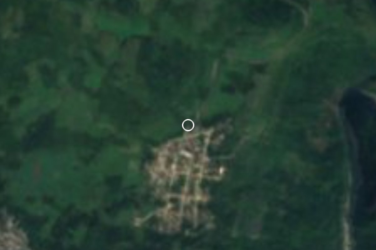
Village Atlequizayan, Puebla Sierra Norte de Puebla
Totonac seat of one of Puebla's smallest municipalities, set among Sierra Norte coffee groves, with a San Miguel parish and the Zempoala river close by.
From Papantla: 1 h 50 min by car (91 km by road) How to get there ↓
Near here
See everything nearby ↓


Plan your visit to Atlequizayan
Where to stay near Atlequizayan
Compare hotels, posadas and guest houses in Atlequizayan.
Tours to Atlequizayan
Day trips and guided outings from Cuetzalan often include Atlequizayan; with a local guide you can get there without a car.
How to get to Atlequizayan
- From Papantla: about 1 h 50 min by road (~91 km)
- Nearest airport: Poza Rica (PAZ), 2 h 46 min by car to Cuetzalan
Links open a partner site. We may earn a commission if you book, at no cost to you.
About Atlequizayan
Atlequizayan is the seat of a tiny municipality: just 12.5 km², one of the smallest in Puebla. The village sits at about 820 m on the side of the Sierra Norte that drops towards the Gulf, between Caxhuacan, Jonotla, Zoquiapan and Ixtepec. In 2020 it had 1,501 residents.
Its Nahuatl name translates as "where water comes out", which fits: rain falls almost all year, 2,400 to 2,600 mm annually, with average temperatures of 18 to 22 °C. The only permanent river is the Zempoala, which runs about 200 m from the centre and further on joins the Apulco, a tributary of the Tecolutla. The original forest gave way long ago to coffee groves and rain-fed maize fields.
The municipal history says the first settlers came from El Tajín and that, although the Texcocans conquered them in the 15th century, they kept their customs. The municipality was created on 13 April 1935; its only junta auxiliar is Ignacio Allende, 1.6 km away on a dirt road.
Life centres on the 16th-century parish of San Miguel Arcángel, whose saint is honoured twice, on 8 May and 29 September, with Masses, food stalls and dancing. Public works are still done by faena, unpaid communal labour owed by every resident. Huapangos and sones are the local music, and some women still wear the black wrap skirt, white blouse and sash. About 500 m from the centre are caves that have never been properly explored.
How to get to Atlequizayan
Drive from Papantla: 1 h 50 min, 91 km
Cuetzalan is only about 11 km away in a straight line, but by road it is roughly 62 km and 1 h 20 min through the sierra on state roads 575, 208 and 217. From Zacapoaxtla it is about 55 km and 1 h 15 min via the 575, 148, 208 and 217, entering the village along Calle Reforma. From Puebla's CAPU it is about 194 km and 3 hours: highway 150D, the 140D towards Oriental, the 129D to the Zaragoza area, then the 575 towards Zacapoaxtla. Without a car, the practical approach is to reach Zacapoaxtla or Cuetzalan first and ask there about local transport to Atlequizayan.
Directions to Atlequizayan on Google Maps
Distances are in a straight line; the road is usually longer.
Links open a partner site. We may earn a commission if you book, at no cost to you.
From the nearest cities to Atlequizayan
- Papantla · 91 km by road, 1 h 50 min
- Teziutlán · 101 km by road, 1 h 55 min
- Poza Rica · 109 km by road, 2 h 5 min
Drive times by road from OpenStreetMap, without traffic or stops. Times marked ~ are estimated from the straight-line distance.
Before you go to Atlequizayan: hours, prices and tips
- Best season
- San Miguel Arcángel fiestas on 8 May and 29 September. Enciclopedia de los Municipios de México (INAFED) · checked Oct 2026
Hours and prices change, especially around holidays. Each fact links to where we checked it.
Visiting Atlequizayan: what to see and do
The 16th-century parish church of San Miguel Arcángel.
The Zempoala river, about 200 m from the centre.
The San Miguel fiestas on 8 May and 29 September.
The coffee groves around the village.
The caves about 500 m from the centre (ask locals before going).
Plan your trip
Places to stay in Atlequizayan
Compare hotels, posadas, and rentals in and around Atlequizayan.
Tours & activities
Day trips and guided outings from Cuetzalan often include Atlequizayan; with a local guide you can get there without a car.
Rental cars
Pick up a car at PAZ (Poza Rica): about 2 h 46 min by road to Cuetzalan, then 11 km more to Atlequizayan, on your own schedule.
Flights
The nearest airport with scheduled flights is Poza Rica (PAZ), about 2 h 46 min by road from Cuetzalan, the base for Atlequizayan.
Mobile data
Signal can drop away from Cuetzalan: download a map of the way to Atlequizayan before you set out, or carry an eSIM with data.
Links open a partner site. We may earn a commission if you book, at no cost to you.
When to go to Atlequizayan mild
Atlequizayan shares the climate of Cuetzalan, 11 km away. The best months to visit are February, March, April, and December.
See the month-by-month climate of Cuetzalan
Weather in Atlequizayan now and the next 7 days
Live forecast from Open-Meteo. Chance of rain is the day's highest.
The closest Pueblo Mágico: Cuetzalan

Cuetzalan is the Pueblo Mágico closest to Atlequizayan, with places to stay, food, and more to see.
Also close to
- Zozocolco · Veracruz · 15 km away
- Tlatlauquitepec · Puebla · 23 km away
- Tetela de Ocampo · Puebla · 29 km away
- Teziutlán · Puebla · 33 km away
- Zacatlán · Puebla · 36 km away
Closest to Atlequizayan
-
Ixtepec · Village · 3 km away
-
Jonotla · Town · 5 km away
-
Xochitlán de Vicente Suárez · Town · 5 km away
-
Caxhuacan · Village · 6 km away
-
Nanacatlán · Village · 6 km away
-
Nauzontla · Village · 6 km away
-
Tuzamapan de Galeana · Village · 8 km away
-
Huitzilan · Town · 9 km away


Near Atlequizayan


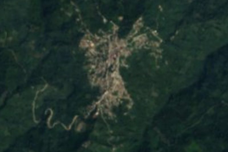


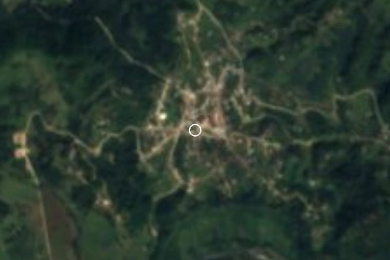
Drive times by road from OpenStreetMap, without traffic. Times marked ~ are estimated from the straight-line distance.
Location from OpenStreetMap. Written by Puebloteca.