
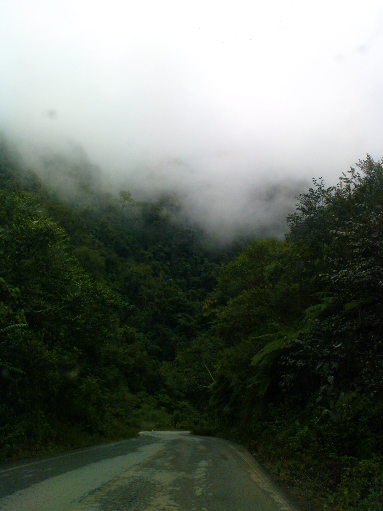
Village Camocuautla, Puebla Sierra Norte de Puebla
"In the forest of sweet potatoes": Totonac seat of a municipality of only 16 km², at 708 m in the Sierra Norte, among mist, rain and forest.
From Poza Rica: about 1 h 10 min by road (~80 km) How to get there ↓
Near here
See everything nearby ↓



Plan your visit to Camocuautla
Where to stay near Camocuautla
Compare hotels, posadas and guest houses in Camocuautla.
Tours to Camocuautla
Day trips and guided outings from Zozocolco often include Camocuautla; with a local guide you can get there without a car.
How to get to Camocuautla
- From Poza Rica: about 1 h 10 min by road (~80 km)
- Nearest airport: Poza Rica (PAZ), 3 h 15 min by car to Zozocolco
Links open a partner site. We may earn a commission if you book, at no cost to you.
About Camocuautla
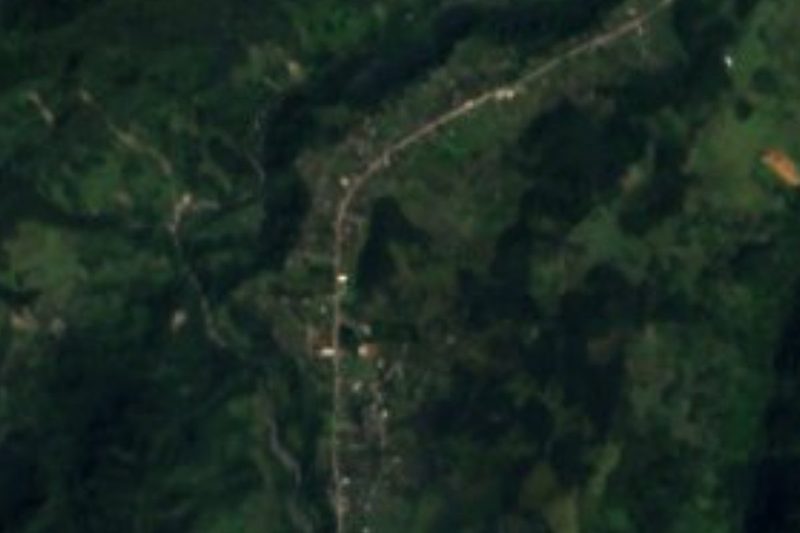
Camotl, sweet potato; cuauhtli, forest; tlan, abundance: Camocuautla means "in the forest of sweet potatoes", and the forest still rules, covering more than half its municipality. The village is the seat of that municipality of just 16.16 km², a mere 0.05% of the state's area, and had 1,672 residents in 2020. It lies at 708 m on the slopes of the Sierra Norte, 21 km in a straight line from Zozocolco, 63 km from Poza Rica and 121 km from the city of Puebla.
The territory straddles two worlds: to the north, the drop toward the Gulf; to the south, the Sierra de Puebla, with peaks such as Cerro Taxco and Cerro Nepocualco. Its neighbours are Hermenegildo Galeana to the north, Amixtlán and Tepango de Rodríguez to the east, Zongozotla to the south, and Coatepec, Hueytlalpan and Zapotitlán de Méndez to the west. It is very wet, semi-warm country with rain in every month, 2,000 to 2,500 mm a year, and average temperatures of 18 to 22 °C. Its streams, among them the San Pedro and the Tapayula, feed the Laxaxalpan and then the Tecolutla. Forest and pasture cover almost everything; farming barely reaches 7%.
This is a Totonac-speaking village: in 2010, 1,847 of the municipality's 2,476 residents spoke the language. The parish church, dedicated to the Immaculate Conception (Purísima Concepción), dates from the 17th century, and its patronal feast falls on 8 December; the calendar continues with the Holy Cross on 3 May, Saint Peter on 29 June, the Day of the Dead and the Virgin of Guadalupe on 12 December, plus Holy Week. Craftspeople carve wood, and the kitchen offers mole poblano, tamales and smoked, pressed chicken.
How to get to Camocuautla
The reference town is Zacatlán. From Mexico City, buses leave for Zacatlán from TAPO (Autotransportes Tlaxcala-Apizaco-Huamantla, every two hours, about three hours) and from Terminal del Norte (Futura, hourly); Zacatlán also has service to Puebla's CAPU. From Zacatlán, continue by taxi to neighbouring Zapotitlán de Méndez and on to Camocuautla; we found no published colectivo timetable for this final stretch.
Directions to Camocuautla on Google Maps
Distances are in a straight line; the road is usually longer.
Links open a partner site. We may earn a commission if you book, at no cost to you.
From the nearest cities to Camocuautla
- Poza Rica · about 80 km by road, ~1 h 10 min
- Teziutlán · 104 km by road, 1 h 55 min
- Huauchinango · 116 km by road, 2 h 5 min
Drive times by road from OpenStreetMap, without traffic or stops. Times marked ~ are estimated from the straight-line distance.
Visiting Camocuautla: what to see and do
The 17th-century parish church of the Purísima Concepción.
The patronal feast on 8 December and Saint Peter's on 29 June.
The road through mist and forest about 3 km south of the village.
The Sierra de Puebla summits, such as Cerro Taxco and Cerro Nepocualco.
Plan your trip
Places to stay in Camocuautla
Compare hotels, posadas, and rentals in and around Camocuautla.
Tours & activities
Day trips and guided outings from Zozocolco often include Camocuautla; with a local guide you can get there without a car.
Rental cars
Pick up a car at PAZ (Poza Rica): about 3 h 15 min by road to Zozocolco, then 21 km more to Camocuautla, on your own schedule.
Flights
The nearest airport with scheduled flights is Poza Rica (PAZ), about 3 h 15 min by road from Zozocolco, the base for Camocuautla.
Mobile data
Signal can drop away from Zozocolco: download a map of the way to Camocuautla before you set out, or carry an eSIM with data.
Links open a partner site. We may earn a commission if you book, at no cost to you.
When to go to Camocuautla warm
Camocuautla shares the climate of Zozocolco, 21 km away. The best months to visit are February, March, November, and December.
See the month-by-month climate of Zozocolco
Weather in Camocuautla now and the next 7 days
Live forecast from Open-Meteo. Chance of rain is the day's highest.
The closest Pueblo Mágico: Zozocolco

Zozocolco is the Pueblo Mágico closest to Camocuautla, with places to stay, food, and more to see.
Also close to
- Zacatlán · Puebla · 24 km away
- Tetela de Ocampo · Puebla · 25 km away
- Cuetzalan · Puebla · 25 km away
- Huauchinango · Puebla · 34 km away
- Tlatlauquitepec · Puebla · 35 km away
Closest to Camocuautla
-
Amixtlán · Village · 4 km away
-
Tepango de Rodríguez · Village · 6 km away
-
Zapotitlán de Méndez · Village · 6 km away
-
Zongozotla · Village · 8 km away
-
Bienvenido · Village · 9 km away
-
Huitzilan · Town · 10 km away
-
Nanacatlán · Village · 10 km away
-
Olintla · Village · 10 km away


Near Camocuautla



Drive times by road from OpenStreetMap, without traffic. Times marked ~ are estimated from the straight-line distance.
Location from OpenStreetMap. Written by Puebloteca.