Village Chiconcuautla, Puebla Municipality of Chiconcuautla Sierra Norte de Puebla
"In twenty waters": a Chiconcuautla village at 1,494 m, named for its many wells and near the Zempoala River, in coffee-growing sierra.
From Huauchinango: 35 min by car (23 km by road) How to get there ↓
Near here
See everything nearby ↓



Plan your visit to Zempoala
Where to stay near Zempoala
Compare hotels, posadas and guest houses in Zempoala.
Tours to Zempoala
Day trips and guided outings from Huauchinango often include Zempoala; with a local guide you can get there without a car.
How to get to Zempoala
- From Huauchinango: about 35 min by road (~23 km)
- Nearest airport: Poza Rica (PAZ), 1 h 59 min by car to Huauchinango
Links open a partner site. We may earn a commission if you book, at no cost to you.
About Zempoala
Twenty waters. That is what Zempoala means, from cempoalli, twenty, and atl, water, plus the locative co; according to the explanation in its Wikipedia article, the number is not literal but a way of saying that wells are plentiful in this part of the sierra. Water does define the place: INEGI's compendium for Chiconcuautla lists a Zempoala River among the streams that flow all year. The village sits at about 1,494 metres and had 1,676 residents in 2020.
Chiconcuautla, the municipality it belongs to, was founded by Otomí people; it later paid tribute to Texcoco and in 1522 came under Spanish rule. By the mid-18th century it answered to Huauchinango in church matters, and it has been a free municipality since 1895. During the Revolution, in 1911, it served as headquarters of the Francisco I. Madero Brigade, which set up a workshop there to strike copper coins and a die press for making weapons. The municipality covers about 113.5 km² and borders Tlaola, Zacatlán, Tlapacoya and Ahuacatlán.
The climate is split almost evenly between temperate humid and warm humid, both with rain in every season: 1,400 to 2,100 mm fall each year and averages range from 12 to 22 degrees. Nearly half the territory is still forest. Farmers grow maize, beans, coffee, avocado, tomato and serrano chile, and raise livestock. Nahuatl and Totonac are among the languages spoken in the municipality; people make pottery and wicker, and the table brings broth, fava-bean tamales, smoked and pressed chicken, mountain coffee and yolixpa liqueur.
How to get to Zempoala
Drive from Huauchinango: 35 min, 23 km
Huauchinango is the nearest large town, about 11 km in a straight line; Tulancingo, in Hidalgo, is 38 km away and Puebla city about 119 km. From Huauchinango, mountain roads lead toward Chiconcuautla and Zempoala; rain and fog are common, so daytime travel is wise.
Directions to Zempoala on Google Maps
Distances are in a straight line; the road is usually longer.
Links open a partner site. We may earn a commission if you book, at no cost to you.
From the nearest cities to Zempoala
- Huauchinango · 23 km by road, 35 min
- Tulancingo · 62 km by road, 1 h 15 min
- Teziutlán · about 95 km by road, ~1 h 25 min
Drive times by road from OpenStreetMap, without traffic or stops. Times marked ~ are estimated from the straight-line distance.
Visiting Zempoala: what to see and do
The attraction is water and greenery: the Zempoala River, the wells behind the village's name and slopes where nearly half the ground is forest. In the municipal seat, Chiconcuautla, stands the 16th-century parish church dedicated to María Santísima. Look for mountain coffee, fava-bean tamales and yolixpa liqueur.
Plan your trip
Places to stay in Zempoala
Compare hotels, posadas, and rentals in and around Zempoala.
Tours & activities
Day trips and guided outings from Huauchinango often include Zempoala; with a local guide you can get there without a car.
Rental cars
Pick up a car at PAZ (Poza Rica): about 1 h 59 min by road to Huauchinango, then 11 km more to Zempoala, on your own schedule.
Flights
The nearest airport with scheduled flights is Poza Rica (PAZ), about 1 h 59 min by road from Huauchinango, the base for Zempoala.
Mobile data
Signal can drop away from Huauchinango: download a map of the way to Zempoala before you set out, or carry an eSIM with data.
Links open a partner site. We may earn a commission if you book, at no cost to you.
When to go to Zempoala mild
Zempoala shares the climate of Huauchinango, 11 km away. The best months to visit are January, February, March, and December.
See the month-by-month climate of Huauchinango
Weather in Zempoala now and the next 7 days
Live forecast from Open-Meteo. Chance of rain is the day's highest.
The closest Pueblo Mágico: Huauchinango

Huauchinango is the Pueblo Mágico closest to Zempoala, with places to stay, food, and more to see.
Also close to
- Zacatlán · Puebla · 18 km away
- Acaxochitlán · Hidalgo · 23 km away
- Xicotepec · Puebla · 24 km away
- Pahuatlán · Puebla · 27 km away
- Chignahuapan · Puebla · 29 km away
Closest to Zempoala
-
Benito Juárez · Village · 2 km away
-
Ahuacatlán · Village · 6 km away
-
Chiconcuautla · Village · 6 km away
-
Valle de Piedras Encimadas · Nature reserve · 6 km away
-
Chicahuaxtla · Village · 8 km away
-
Camotepec · Village · 9 km away
-
Presa Nexapa · Lake · 9 km away
-
Tlaola · Village · 9 km away
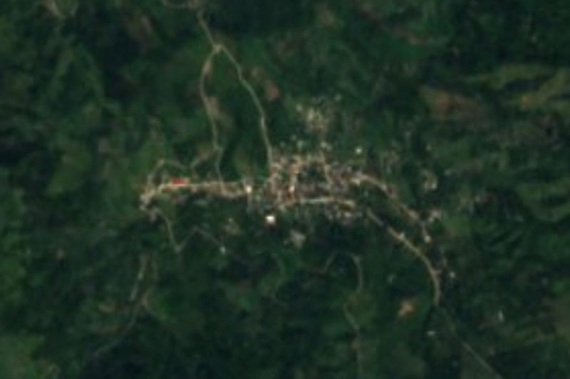
Near Zempoala





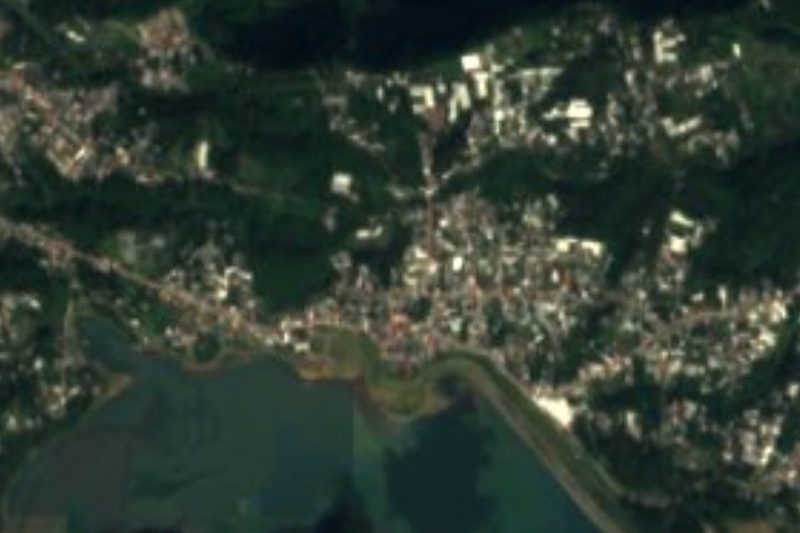
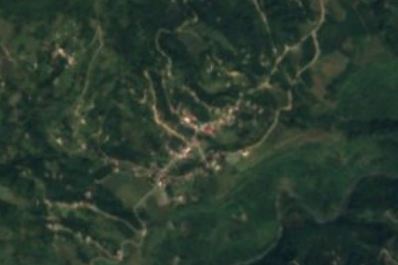


Drive times by road from OpenStreetMap, without traffic. Times marked ~ are estimated from the straight-line distance.
Location from OpenStreetMap. Written by Puebloteca.