

Village Chiconcuautla, Puebla Municipality of Chiconcuautla Sierra Norte de Puebla
Hamlet of Chiconcuautla in the Sierra Norte, about 13 km from Huauchinango, in an Otomí and Nahua municipality of forests and coffee.
From Huauchinango: 40 min by car (26 km by road) How to get there ↓
Near here
See everything nearby ↓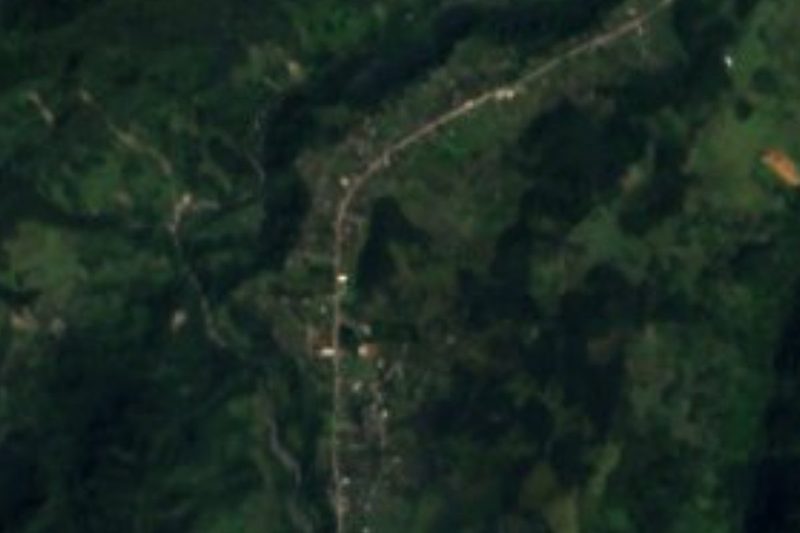



Plan your visit to Benito Juárez
Where to stay near Benito Juárez
Compare hotels, posadas and guest houses in Benito Juárez.
Tours to Benito Juárez
Day trips and guided outings from Huauchinango often include Benito Juárez; with a local guide you can get there without a car.
 Private Transportation from Benito Juarez Airport CDMX to Puebla
★ 5.0 (1) · From US$175
How to get to Benito Juárez
- From Huauchinango: about 40 min by road (~26 km)
- Nearest airport: Poza Rica (PAZ), 1 h 59 min by car to Huauchinango
Links open a partner site. We may earn a commission if you book, at no cost to you.
Popular tours to Benito Juárez


Tours, prices and ratings from Viator, checked weekly. We may earn a commission if you book.
About Benito Juárez
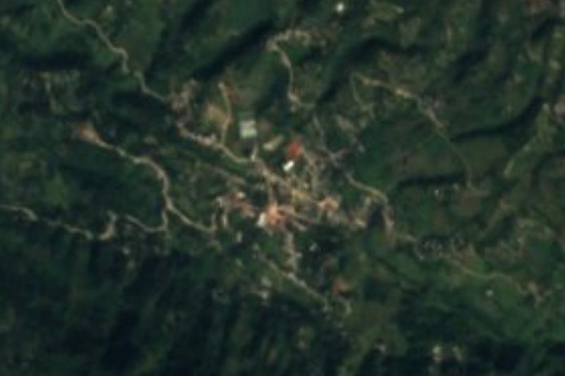
Benito Juárez is a hamlet of 310 people (2020) in the municipality of Chiconcuautla, in Puebla's Sierra Norte, at about 1,650 m and some 13 km from Huauchinango. The photo shows the Chiconcuautla landscape.
Chiconcuautla's first settlers were Otomí; later it paid tribute to Texcoco, and in 1522 the Spanish subdued it. In 1750 it depended on the Huauchinango parish, and in 1895 it became a free municipality. In 1911, during the Revolution, it was the headquarters of the Francisco I. Madero Brigade, under generals Esteban, Eliano and Gaspar Márquez and other sierra leaders, who set up a workshop here to strike copper coins and a die for making weapons.
The municipality covers about 114 km² and borders Tlaola, Zacatlán, Tlapacoya and Ahuacatlán. Rain runs 1,400 to 2,100 mm a year, the climate is temperate or semi-warm and humid, and almost half the land is forest; the Zempoala and Tlaxco flow all year. Farmers grow maize, beans and coffee, avocados, tomatoes and serrano chillies. More than 7,000 people speak an indigenous language, mostly Nahuatl. People make pottery and wicker baskets, eat broth, broad-bean tamales and smoked or pressed chicken, and drink sierra coffee and yolixpa and huquiño fruit wines. The parish church of María Santísima in the seat dates from the 16th century.
How to get to Benito Juárez
Drive from Huauchinango: 40 min, 26 km
Benito Juárez lies in the municipality of Chiconcuautla, about 13 km from Huauchinango in a straight line. From Puebla, reach Huauchinango on the México–Tuxpan highway, then take the mountain road toward Chiconcuautla.
Directions to Benito Juárez on Google Maps
Distances are in a straight line; the road is usually longer.
Links open a partner site. We may earn a commission if you book, at no cost to you.
From the nearest cities to Benito Juárez
- Huauchinango · 26 km by road, 40 min
- Tulancingo · 65 km by road, 1 h 20 min
- Teziutlán · about 95 km by road, ~1 h 25 min
Drive times by road from OpenStreetMap, without traffic or stops. Times marked ~ are estimated from the straight-line distance.
Visiting Benito Juárez: what to see and do
The coffee plots and forests of Chiconcuautla.
The 16th-century parish church of María Santísima.
Huauchinango, about 13 km away.
Plan your trip
Places to stay in Benito Juárez
Compare hotels, posadas, and rentals in and around Benito Juárez.
Tours & activities
Day trips and guided outings from Huauchinango often include Benito Juárez; with a local guide you can get there without a car.
Rental cars
Pick up a car at PAZ (Poza Rica): about 1 h 59 min by road to Huauchinango, then 13 km more to Benito Juárez, on your own schedule.
Flights
The nearest airport with scheduled flights is Poza Rica (PAZ), about 1 h 59 min by road from Huauchinango, the base for Benito Juárez.
Mobile data
Signal can drop away from Huauchinango: download a map of the way to Benito Juárez before you set out, or carry an eSIM with data.
Links open a partner site. We may earn a commission if you book, at no cost to you.
When to go to Benito Juárez mild
Benito Juárez shares the climate of Huauchinango, 13 km away. The best months to visit are January, February, March, and December.
See the month-by-month climate of Huauchinango
Weather in Benito Juárez now and the next 7 days
Live forecast from Open-Meteo. Chance of rain is the day's highest.
The closest Pueblo Mágico: Huauchinango

Huauchinango is the Pueblo Mágico closest to Benito Juárez, with places to stay, food, and more to see.
Also close to
- Zacatlán · Puebla · 16 km away
- Acaxochitlán · Hidalgo · 23 km away
- Chignahuapan · Puebla · 26 km away
- Xicotepec · Puebla · 26 km away
- Pahuatlán · Puebla · 28 km away
Closest to Benito Juárez
-
Zempoala · Village · 2 km away
-
Valle de Piedras Encimadas · Nature reserve · 4 km away
-
Camotepec · Village · 7 km away
-
Chiconcuautla · Village · 7 km away
-
Ahuacatlán · Village · 8 km away
-
Atzingo · Village · 10 km away
-
Chicahuaxtla · Village · 10 km away
-
San Cristóbal Xochimilpa · Village · 10 km away

Near Benito Juárez
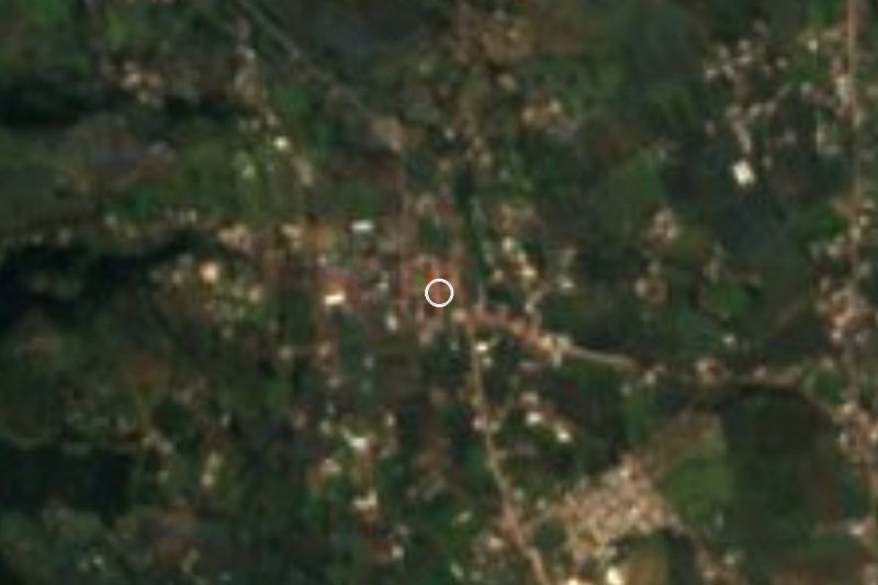






Drive times by road from OpenStreetMap, without traffic. Times marked ~ are estimated from the straight-line distance.
Location from OpenStreetMap. Written by Puebloteca.