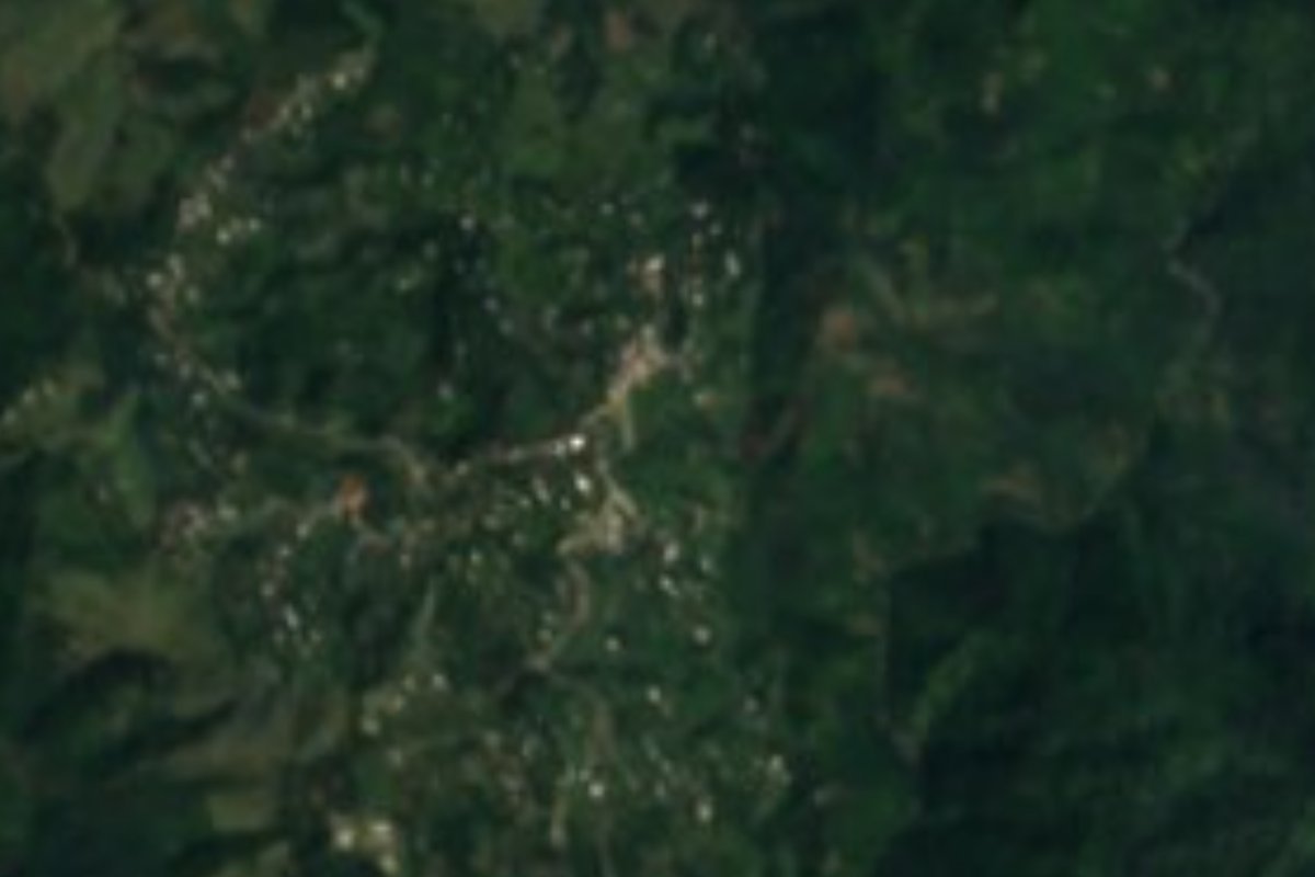
Village Ahuacatlán, Puebla Sierra Norte de Puebla
"Halfway up the hill": an Ahuacatlán village at 1,339 m in Puebla's rainy sierra, among coffee plots, forest and Totonac and Nahua speech.
From Poza Rica: about 1 h 15 min by road (~85 km) How to get there ↓
Near here
See everything nearby ↓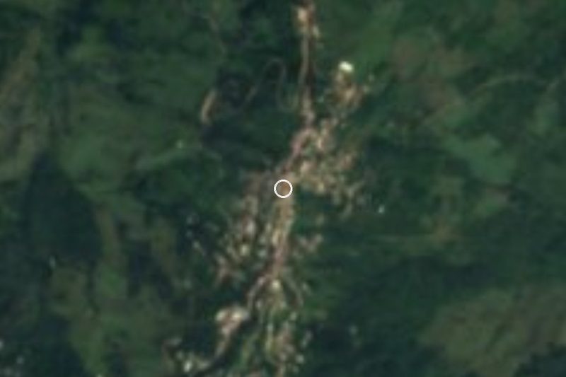

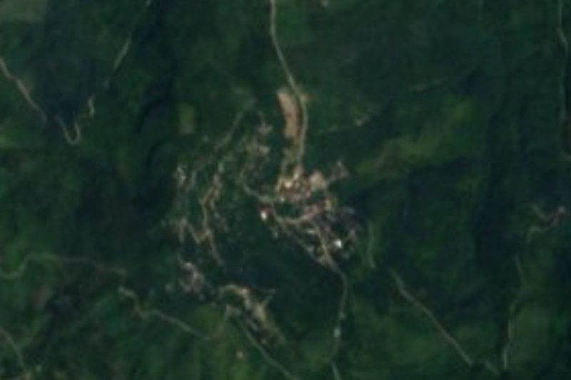


Plan your visit to Tlacotepec
Where to stay near Tlacotepec
Compare hotels, posadas and guest houses in Tlacotepec.
Tours to Tlacotepec
Day trips and guided outings from Zacatlán often include Tlacotepec; with a local guide you can get there without a car.
How to get to Tlacotepec
- From Poza Rica: about 1 h 15 min by road (~85 km)
- Nearest airport: Poza Rica (PAZ), 1 h 45 min by car to Zacatlán
Links open a partner site. We may earn a commission if you book, at no cost to you.
About Tlacotepec
The name says nearly everything: tlaco, half; tepetl, hill; plus the locative co. In Nahuatl Tlacotepec means "halfway up the hill", and that is how the village sits, hung on a mid-slope of the Sierra Norte at about 1,339 metres. It belongs to Ahuacatlán, and the 2020 census counted 2,695 residents, which places it among the larger settlements of that mountain municipality. INEGI's catalogue lists it as Tlacotepec (San Mateo).
Ahuacatlán is a land of steady rain. INEGI's municipal compendium records 1,400 to 2,100 millimetres a year and a warm, humid climate with rain in every season across three quarters of the territory; the rest is temperate and humid. Average temperatures run from 14 to 22 degrees. The entire municipality drains toward the Tecolutla River, in the Tuxpan-Nautla region, by way of the Laxaxalpan, and the Ajalpan is among its year-round streams. Two thirds of the land is farmed and one third is still under forest, so wooded patches survive between the plots.
More than eleven thousand people in the municipality speak an Indigenous language, mainly Totonac and Nahuatl, and that blend shows in the speech of the area. Recorded local crafts are pottery, woodcarving and wool weaving. The kitchen offers mole poblano, "puñete" tamales wrapped in papatla leaf, smoked and pressed chicken and chicharrón; people drink coffee and fruit wines and put up fruit preserves. Festival music is played on guitar and violin.
How to get to Tlacotepec
Tlacotepec lies about 18 km in a straight line from Zacatlán and 54 km from Tulancingo, in Hidalgo; Puebla city is some 119 km away. The practical route is to reach Zacatlán first and then follow the mountain roads toward Ahuacatlán. Curves and frequent fog call for slow driving.
Directions to Tlacotepec on Google Maps
Distances are in a straight line; the road is usually longer.
Links open a partner site. We may earn a commission if you book, at no cost to you.
From the nearest cities to Tlacotepec
- Poza Rica · about 85 km by road, ~1 h 15 min
- Papantla · about 90 km by road, ~1 h 20 min
- Huauchinango · 91 km by road, 1 h 40 min
Drive times by road from OpenStreetMap, without traffic or stops. Times marked ~ are estimated from the straight-line distance.
Visiting Tlacotepec: what to see and do
The draw is the hillside landscape: plots and leftover forest in a sierra where rain falls almost all year. In nearby Ahuacatlán town, INEGI lists the church of San Miguel, now dedicated to San Juan Bautista, and the 16th-century town hall. Try the puñete tamales wrapped in papatla leaf and the local coffee.
Plan your trip
Places to stay in Tlacotepec
Compare hotels, posadas, and rentals in and around Tlacotepec.
Tours & activities
Day trips and guided outings from Zacatlán often include Tlacotepec; with a local guide you can get there without a car.
Rental cars
Pick up a car at PAZ (Poza Rica): about 1 h 45 min by road to Zacatlán, then 18 km more to Tlacotepec, on your own schedule.
Flights
The nearest airport with scheduled flights is Poza Rica (PAZ), about 1 h 45 min by road from Zacatlán, the base for Tlacotepec.
Mobile data
Signal can drop away from Zacatlán: download a map of the way to Tlacotepec before you set out, or carry an eSIM with data.
Links open a partner site. We may earn a commission if you book, at no cost to you.
When to go to Tlacotepec cool
Tlacotepec shares the climate of Zacatlán, 18 km away. The best months to visit are February, March, April, and May.
See the month-by-month climate of Zacatlán
Weather in Tlacotepec now and the next 7 days
Live forecast from Open-Meteo. Chance of rain is the day's highest.
The closest Pueblo Mágico: Zacatlán

Zacatlán is the Pueblo Mágico closest to Tlacotepec, with places to stay, food, and more to see.
Also close to
- Huauchinango · Puebla · 25 km away
- Tetela de Ocampo · Puebla · 27 km away
- Xicotepec · Puebla · 29 km away
- Zozocolco · Veracruz · 29 km away
- Chignahuapan · Puebla · 32 km away
Closest to Tlacotepec
-
Amixtlán · Village · 5 km away
-
San Cristóbal Xochimilpa · Village · 6 km away
-
Tlapacoya · Village · 7 km away
-
Tepango de Rodríguez · Village · 8 km away
-
Camocuautla · Village · 10 km away
-
Chiconcuautla · Village · 10 km away
-
Tlaltepango · Village · 10 km away
-
Tlamanca de Hernández · Village · 12 km away
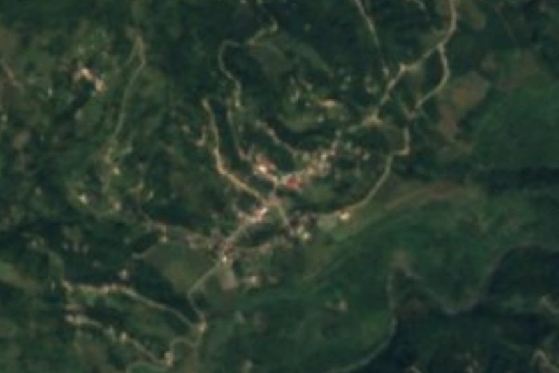
Near Tlacotepec




Drive times by road from OpenStreetMap, without traffic. Times marked ~ are estimated from the straight-line distance.
Location from OpenStreetMap. Written by Puebloteca.