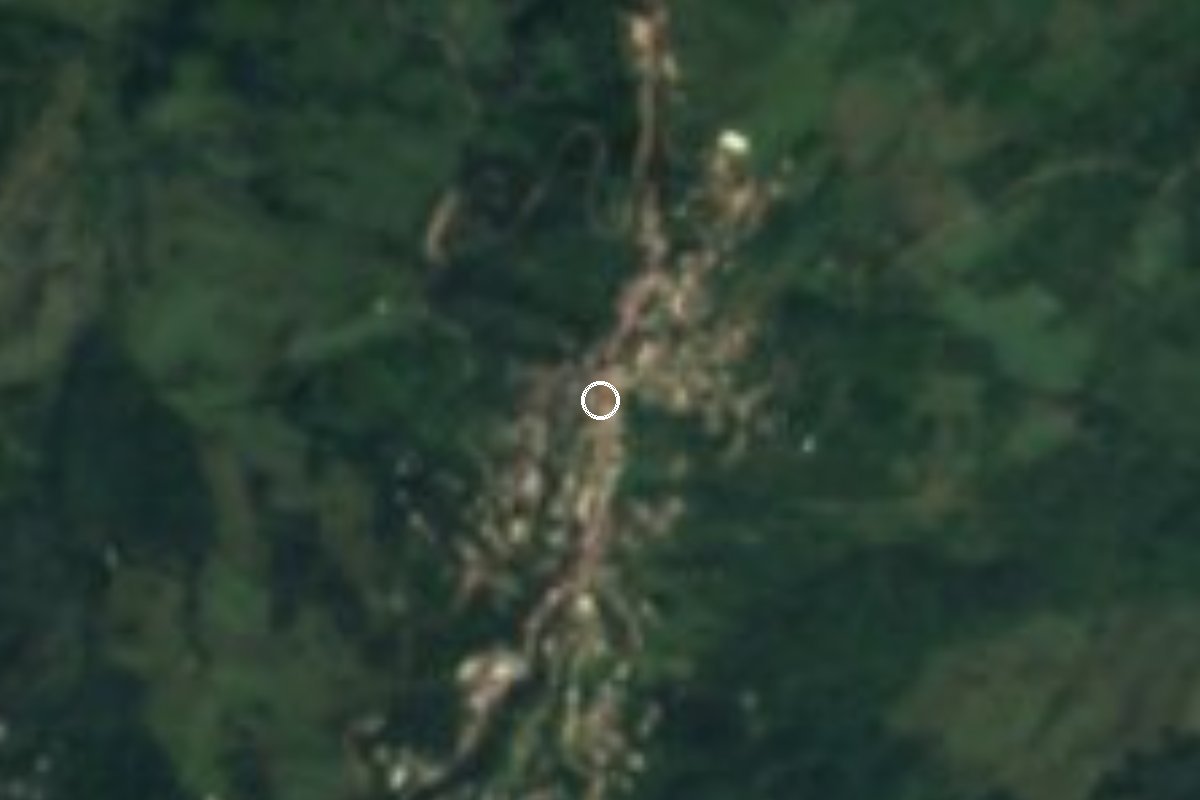
Village Amixtlán, Puebla Sierra Norte de Puebla
Sierra Norte municipal seat strung along a narrow ridge among coffee groves; San José church and voladores at its 19 March feast.
From Poza Rica: about 1 h 15 min by road (~85 km) How to get there ↓
Near here
See everything nearby ↓


Plan your visit to Amixtlán
Where to stay near Amixtlán
Compare hotels, posadas and guest houses in Amixtlán.
Tours to Amixtlán
Day trips and guided outings from Zacatlán often include Amixtlán; with a local guide you can get there without a car.
How to get to Amixtlán
- From Poza Rica: about 1 h 15 min by road (~85 km)
- Nearest airport: Poza Rica (PAZ), 1 h 45 min by car to Zacatlán
Links open a partner site. We may earn a commission if you book, at no cost to you.
About Amixtlán
Amixtlán means "among the clouds" or "place in the mist", from Nahuatl atl, water, and mixtli, cloud, and the name fits: the village runs along a long, narrow ridge that crosses the municipality and tops out at the Pucuxín and Equitán hills, on the side of the Sierra Norte that faces the Gulf of Mexico. Moist air rising from the coast brings rain all year and a warm, humid climate averaging over 22 °C. In 2020 the village had 2,361 residents.
Accounts of its origins differ. The municipal encyclopedia speaks of a settlement of Nahuatl speakers; Wikipedia describes it as part of the old Totonac community of Xochicuauhtitlán, later called Xuxupango. Around 1520 the area was explored by Gonzalo Portero and granted in encomienda to Luis de Ávila; secular priests visited in 1567, though the earliest records of the San José parish are lost. It belonged to the Zacatlán district and became a municipality in 1895.
Within the municipality the land falls from about 1,700 m to 400 m and is cut by the Amixtlán and Nepopualco rivers, which feed the Ajajalpan and then the Tecolutla. Coffee has replaced most of the original forest, which survives only in patches to the south and west. The 16th-century church of San José is the focus of the 19 March feast, with Masses, fireworks and the quetzal, volador, tejedor and huehue dances. Local cooking includes smoked chicken, pressed pork crackling and panela, and fruit wines go by their own names: yolixpa, huiquiño and catorti.
How to get to Amixtlán
From Zacatlán, the nearest Pueblo Mágico, it is about 45 km and roughly 1 hour: take the Interserrana road (PUE 108) east for about 34 km, then state road PUE 113 for some 7 winding kilometres into the village. From Tulancingo in Hidalgo, the nearest city, it is about 112 km, roughly 2 hours, via highways 130, 132D and 119 to Zacatlán, then the same route. From the city of Puebla it is about 165 km, roughly 2 h 45 min, on federal highway 119 via Apizaco and Zacatlán; the municipal encyclopedia puts it at three hours. The final stretch is a twisting mountain road.
Directions to Amixtlán on Google Maps
Distances are in a straight line; the road is usually longer.
Links open a partner site. We may earn a commission if you book, at no cost to you.
From the nearest cities to Amixtlán
- Papantla · about 85 km by road, ~1 h 15 min
- Poza Rica · about 85 km by road, ~1 h 15 min
- Huauchinango · 98 km by road, 1 h 45 min
Drive times by road from OpenStreetMap, without traffic or stops. Times marked ~ are estimated from the straight-line distance.
Before you go to Amixtlán: hours, prices and tips
- Best season
- San José patron feast on 19 March, with quetzal, volador, tejedor and huehue dances. Enciclopedia de los Municipios de México (INAFED) · checked Oct 2026
Hours and prices change, especially around holidays. Each fact links to where we checked it.
Visiting Amixtlán: what to see and do
The 16th-century church of San José.
The 19 March patron feast, with quetzal dancers and voladores.
The views from the ridge the village sits on, toward the Pucuxín and Equitán hills.
The coffee groves on the slopes.
Local fruit wines such as yolixpa.
Plan your trip
Places to stay in Amixtlán
Compare hotels, posadas, and rentals in and around Amixtlán.
Tours & activities
Day trips and guided outings from Zacatlán often include Amixtlán; with a local guide you can get there without a car.
Rental cars
Pick up a car at PAZ (Poza Rica): about 1 h 45 min by road to Zacatlán, then 21 km more to Amixtlán, on your own schedule.
Flights
The nearest airport with scheduled flights is Poza Rica (PAZ), about 1 h 45 min by road from Zacatlán, the base for Amixtlán.
Mobile data
Signal can drop away from Zacatlán: download a map of the way to Amixtlán before you set out, or carry an eSIM with data.
Links open a partner site. We may earn a commission if you book, at no cost to you.
When to go to Amixtlán cool
Amixtlán shares the climate of Zacatlán, 21 km away. The best months to visit are February, March, April, and May.
See the month-by-month climate of Zacatlán
Weather in Amixtlán now and the next 7 days
Live forecast from Open-Meteo. Chance of rain is the day's highest.
The closest Pueblo Mágico: Zacatlán

Zacatlán is the Pueblo Mágico closest to Amixtlán, with places to stay, food, and more to see.
Also close to
- Zozocolco · Veracruz · 25 km away
- Tetela de Ocampo · Puebla · 26 km away
- Cuetzalan · Puebla · 29 km away
- Huauchinango · Puebla · 30 km away
- Xicotepec · Puebla · 33 km away
Closest to Amixtlán
-
Camocuautla · Village · 4 km away
-
Tepango de Rodríguez · Village · 5 km away
-
Tlacotepec · Village · 5 km away
-
Bienvenido · Village · 10 km away
-
Tlapacoya · Village · 10 km away
-
Zapotitlán de Méndez · Village · 10 km away
-
San Cristóbal Xochimilpa · Village · 11 km away
-
Tlamanca de Hernández · Village · 11 km away

Near Amixtlán




Drive times by road from OpenStreetMap, without traffic. Times marked ~ are estimated from the straight-line distance.
Location from OpenStreetMap. Written by Puebloteca.