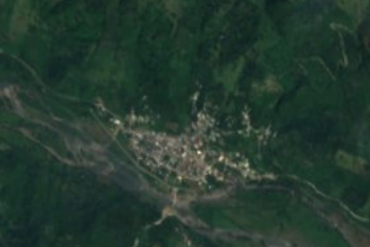
Village Jopala, Puebla Municipality of Jopala Sierra Norte de Puebla
Jopala's largest community, in the hot Necaxa River valley: a trading hub and one of the few homes of Upper Necaxa Totonac.
From Huauchinango: 45 min by car (41 km by road) How to get there ↓
Near here
See everything nearby ↓


Plan your visit to Chicontla
Where to stay near Chicontla
Compare hotels, posadas and guest houses in Chicontla.
Tours to Chicontla
Day trips and guided outings from Xicotepec often include Chicontla; with a local guide you can get there without a car.
How to get to Chicontla
- From Huauchinango: about 45 min by road (~41 km)
- Nearest airport: Poza Rica (PAZ), 2 h 7 min by car to Xicotepec
Links open a partner site. We may earn a commission if you book, at no cost to you.
About Chicontla
On the floor of the Necaxa River valley people speak a distinct variety of Totonac known as Upper Necaxa Totonac, and Chicontla is one of its four villages, along with Patla, Cacahuatlán and San Pedro Tlaolantongo. The language is seriously endangered: Spanish rules government, trade and public life, few people under forty use Totonac with ease and children grow up speaking only Spanish. Speakers, however, can still tell which village someone comes from by their pronunciation and the words they choose.
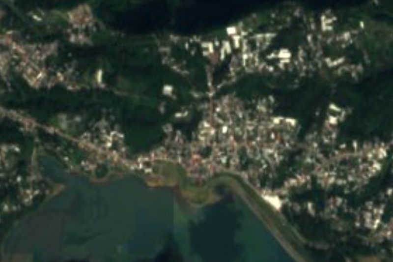
Chicontla is the largest community in the municipality of Jopala, bigger than the seat itself, and has become the valley's trading point; the priest who serves the area lives here too. The 2020 census counted 3,030 residents, and the village sits at about 334 metres, on low, hot and humid ground; toward Xicotepec the land climbs and the air turns cool and foggy. Its name comes from Nahuatl chicoltic, twisted thing, and tlan, abundance: "twisted land", which makes sense once you see the slopes that box in the river. Upstream lies Patla, which after the flood of October 1999 moved about a third of its people to new housing on the south bank.
All of Jopala has a warm, humid climate with rain all year and average temperatures of 18 to 26 °C; its waters reach the Tecolutla through the Necaxa and the Laxaxalpan. More than half the land is farmed and almost a third is pasture. Nahuas and Totonacs lived in the region before the conquest of 1522, and the municipality has existed as such since 1895. Local kitchens serve mole poblano, pipián, tamales and pressed chicharrón, washed down with coffee, chocolate, atole and refino, the local cane spirit; clay pottery is made as well. The big municipal festival honours the Virgin of the Assumption, from 12 to 22 August in Jopala, with the Negritos, Toreadores, Malinches and Wewes dances.
How to get to Chicontla
Drive from Huauchinango: 45 min, 41 km
Chicontla is about 15 km in a straight line from Xicotepec de Juárez, 51 km from Poza Rica and 140 km from Puebla city. From Xicotepec, local transport through the mountains down to Patla and Chicontla takes around an hour. There is no direct bus from Puebla's CAPU to Xicotepec: ride to Huauchinango and change there; by road Puebla–Xicotepec is about 164 km, over two hours by car.
Directions to Chicontla on Google Maps
Distances are in a straight line; the road is usually longer.
Links open a partner site. We may earn a commission if you book, at no cost to you.
From the nearest cities to Chicontla
- Huauchinango · 41 km by road, 45 min
- Tulancingo · 84 km by road, 1 h 20 min
- Teziutlán · about 90 km by road, ~1 h 20 min
Drive times by road from OpenStreetMap, without traffic or stops. Times marked ~ are estimated from the straight-line distance.
Visiting Chicontla: what to see and do
The Necaxa River valley and the steep slopes that hem it in.
The village's trade, the busiest in the municipality of Jopala.
Patla, upstream, and the Assumption festival in Jopala, 12 to 22 August.
Plan your trip
Places to stay in Chicontla
Compare hotels, posadas, and rentals in and around Chicontla.
Tours & activities
Day trips and guided outings from Xicotepec often include Chicontla; with a local guide you can get there without a car.
Rental cars
Pick up a car at PAZ (Poza Rica): about 2 h 7 min by road to Xicotepec, then 15 km more to Chicontla, on your own schedule.
Flights
The nearest airport with scheduled flights is Poza Rica (PAZ), about 2 h 7 min by road from Xicotepec, the base for Chicontla.
Mobile data
Signal can drop away from Xicotepec: download a map of the way to Chicontla before you set out, or carry an eSIM with data.
Links open a partner site. We may earn a commission if you book, at no cost to you.
When to go to Chicontla mild
Chicontla shares the climate of Xicotepec, 15 km away. The best months to visit are January, February, March, and December.
See the month-by-month climate of Xicotepec
Weather in Chicontla now and the next 7 days
Live forecast from Open-Meteo. Chance of rain is the day's highest.
The closest Pueblo Mágico: Xicotepec

Xicotepec is the Pueblo Mágico closest to Chicontla, with places to stay, food, and more to see.
Also close to
- Huauchinango · Puebla · 25 km away
- Zozocolco · Veracruz · 28 km away
- Pahuatlán · Puebla · 34 km away
- Zacatlán · Puebla · 37 km away
- Acaxochitlán · Hidalgo · 40 km away
Closest to Chicontla
-
Zihuateutla · Village · 6 km away
-
Tlaxcalantongo · Town · 9 km away
-
Xochinanacatlán · Village · 9 km away
-
Tlaltepango · Village · 12 km away
-
Buenos Aires · Village · 13 km away
-
Progreso de Zaragoza · Village · 13 km away
-
Tlapacoya · Village · 14 km away
-
Cerro Grande · Village · 15 km away
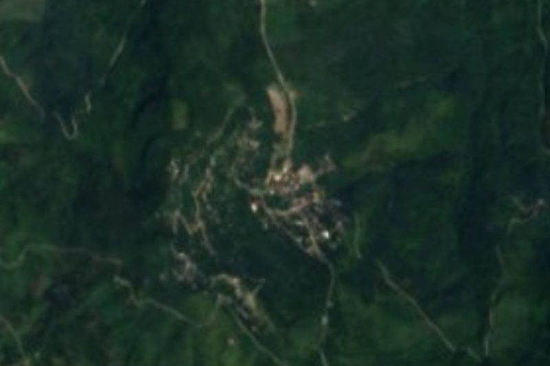

Near Chicontla

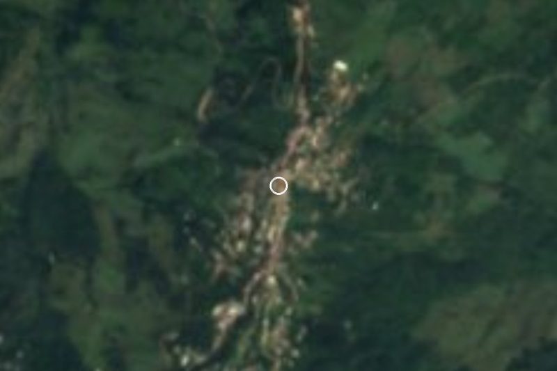




Drive times by road from OpenStreetMap, without traffic. Times marked ~ are estimated from the straight-line distance.
Location from OpenStreetMap. Written by Puebloteca.