Village Coahuitlán, Veracruz Totonacapan
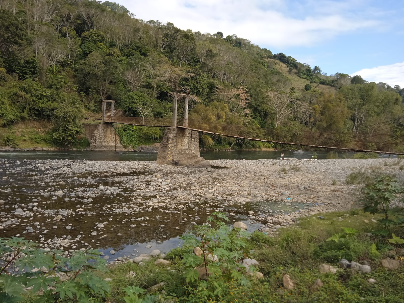
Seat of Coahuitlán since 1897, on the banks of the Necaxa river, with a suspension footbridge; about 8 km from Coyutla.
From Poza Rica: 1 h 15 min by car (61 km by road) How to get there ↓
Near here
See everything nearby ↓



Plan your visit to Progreso de Zaragoza
Where to stay near Progreso de Zaragoza
Compare hotels, posadas and guest houses in Progreso de Zaragoza.
Tours to Progreso de Zaragoza
Day trips and guided outings from Zozocolco often include Progreso de Zaragoza; with a local guide you can get there without a car.
How to get to Progreso de Zaragoza
- From Poza Rica: about 1 h 15 min by road (~61 km)
- Nearest airport: Poza Rica (PAZ), 3 h 15 min by car to Zozocolco
Links open a partner site. We may earn a commission if you book, at no cost to you.
About Progreso de Zaragoza
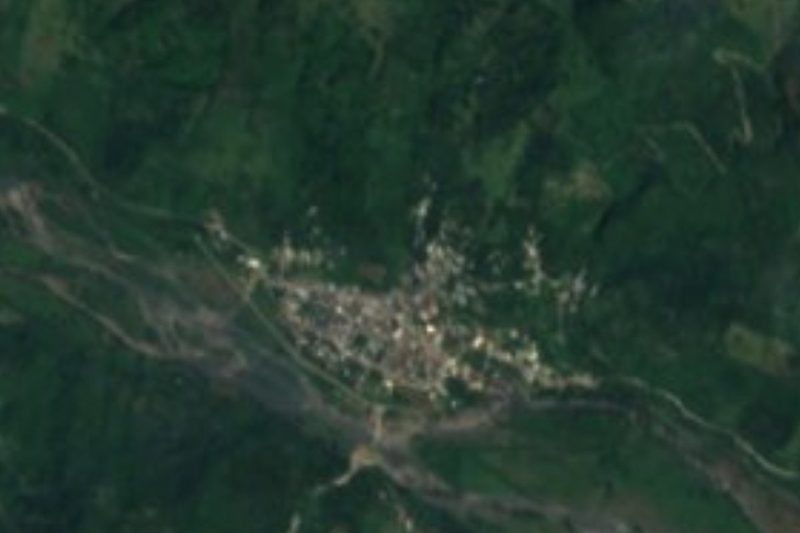
Progreso de Zaragoza is the seat of the municipality of Coahuitlán, in the Totonac hills of northern Veracruz on the border with Puebla. It lies low, on the floodplain of the Necaxa river at under 200 metres, with a hot, humid climate averaging about 22 °C and rain for much of the year. The 2020 census counted 2,675 residents.
It has not always been the centre of the municipality. Coahuitlán is a Totonac village of pre-Hispanic origin that in the 16th century was a dependency of Mecatlán; a decree of 8 July 1897 moved the seat to the congregation of Progreso de Zaragoza, where the mestizo population lived. The second half of the name honours Ignacio Zaragoza, the Republican general of the French intervention. Today the municipality is home to Totonac people and a smaller Nahua community.
The main draw for visitors is the suspension footbridge across the Necaxa, which links the two banks of the river at the town. The Necaxa comes down from the Puebla highlands, enters Veracruz precisely here in Coahuitlán and flows east towards Coyutla, later joining the Laxaxalpan to form the Tecolutla river.
The municipal calendar opens with Candelaria in February, continues with San José in March and peaks with the Santo Entierro and Holy Week, when several communities gather. A dance particular to the area is the Danza de los Guaguas, with woodpecker and coati characters. Farms grow maize and coffee, and local crafts include wooden masks, furniture and wax work. Eight in ten homes have a mobile phone, but internet is rare.
How to get to Progreso de Zaragoza
Drive from Poza Rica: 1 h 15 min, 61 km
The way in is through Coyutla, about 8 km away, roughly 10 minutes on a concrete-slab state road. From Poza Rica it is about 61 km, around 1 hour 15 minutes: take Federal Highway 130 (Pachuca-Tuxpan) for about 10 km, then state roads to Entabladero and State Road 127, the branch to Coyutla, and on to Progreso. From Zozocolco, a Pueblo Mágico, it is about 33 km, some 40 minutes, also via the Coyutla branch road. By bus, the hub is Poza Rica's Central de Autobuses (Avenida Puebla), served by ADO, AU, Estrella Blanca and other lines. We found no published timetable for buses or colectivos from Poza Rica or Coyutla to Progreso de Zaragoza; ask in Coyutla about local transport.
Directions to Progreso de Zaragoza on Google Maps
Distances are in a straight line; the road is usually longer.
Links open a partner site. We may earn a commission if you book, at no cost to you.
From the nearest cities to Progreso de Zaragoza
- Poza Rica · 61 km by road, 1 h 15 min
- Papantla · 68 km by road, 1 h 15 min
- Huauchinango · 81 km by road, 1 h 40 min
Drive times by road from OpenStreetMap, without traffic or stops. Times marked ~ are estimated from the straight-line distance.
Visiting Progreso de Zaragoza: what to see and do
The suspension footbridge over the Necaxa river.
The view of the Necaxa from the bridge.
Parque Progreso and the Coahuitlán town hall.
Holy Week and the Santo Entierro fiesta, in March or April.
The Danza de los Guaguas.
Wooden masks and wax work made in the municipality.
Plan your trip
Places to stay in Progreso de Zaragoza
Compare hotels, posadas, and rentals in and around Progreso de Zaragoza.
Tours & activities
Day trips and guided outings from Zozocolco often include Progreso de Zaragoza; with a local guide you can get there without a car.
Rental cars
Pick up a car at PAZ (Poza Rica): about 3 h 15 min by road to Zozocolco, then 20 km more to Progreso de Zaragoza, on your own schedule.
Flights
The nearest airport with scheduled flights is Poza Rica (PAZ), about 3 h 15 min by road from Zozocolco, the base for Progreso de Zaragoza.
Mobile data
Signal can drop away from Zozocolco: download a map of the way to Progreso de Zaragoza before you set out, or carry an eSIM with data.
Links open a partner site. We may earn a commission if you book, at no cost to you.
When to go to Progreso de Zaragoza warm
Progreso de Zaragoza shares the climate of Zozocolco, 20 km away. The best months to visit are February, March, November, and December.
See the month-by-month climate of Zozocolco
Weather in Progreso de Zaragoza now and the next 7 days
Live forecast from Open-Meteo. Chance of rain is the day's highest.
The closest Pueblo Mágico: Zozocolco

Zozocolco is the Pueblo Mágico closest to Progreso de Zaragoza, with places to stay, food, and more to see.
Also close to
- Xicotepec · Puebla · 27 km away
- Cuetzalan · Puebla · 35 km away
- Huauchinango · Puebla · 37 km away
- Papantla · Veracruz · 45 km away
- Zacatlán · Puebla · 46 km away
Closest to Progreso de Zaragoza
-
Cerro Grande · Village · 5 km away
-
Coyutla · Town · 6 km away
-
Jopala · Village · 12 km away
-
Chicontla · Village · 13 km away
-
Buenos Aires · Village · 14 km away
-
Dimas López · Village · 15 km away
-
Coxquihui · Town · 16 km away
-
Bienvenido · Village · 17 km away

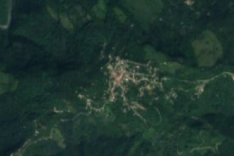
Near Progreso de Zaragoza





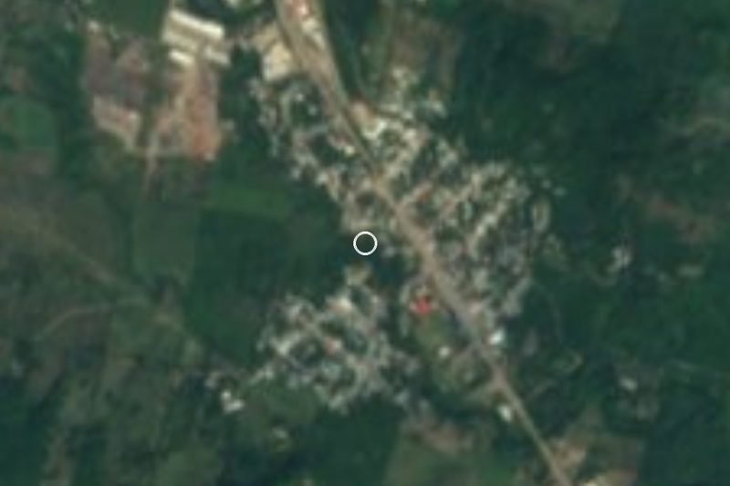
Drive times by road from OpenStreetMap, without traffic. Times marked ~ are estimated from the straight-line distance.
Location from OpenStreetMap. Written by Puebloteca.