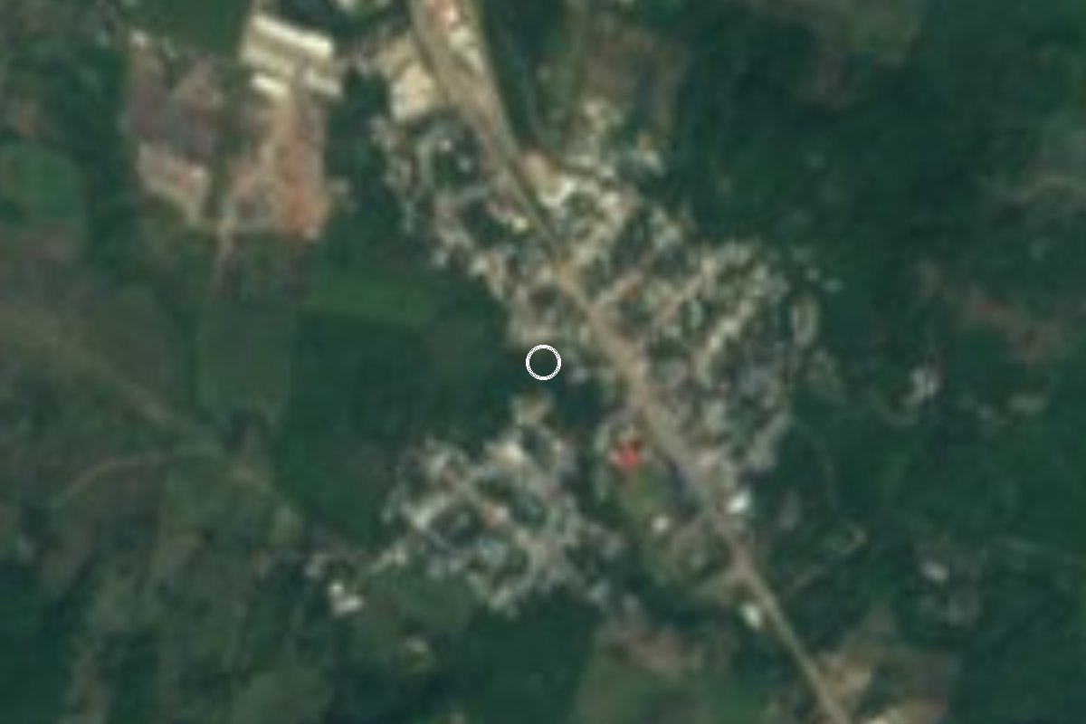
Village Tihuatlán, Veracruz Municipality of Tihuatlán Totonacapan
Tihuatlán community on Highway 130, eight minutes from Poza Rica, named after President Lázaro Cárdenas.
From Poza Rica: 10 min by car (9 km by road) How to get there ↓
Near here
See everything nearby ↓



Plan your visit to General Lázaro Cárdenas del Río
Where to stay near General Lázaro Cárdenas del Río
Compare hotels, posadas and guest houses in General Lázaro Cárdenas del Río.
Tours to General Lázaro Cárdenas del Río
Day trips and guided outings from Papantla often include General Lázaro Cárdenas del Río; with a local guide you can get there without a car.
How to get to General Lázaro Cárdenas del Río
- From Poza Rica: about 10 min by road (~9 km)
- Nearest airport: Poza Rica (PAZ), 2 h 45 min by car to Papantla
Links open a partner site. We may earn a commission if you book, at no cost to you.
About General Lázaro Cárdenas del Río
Some municipal listings simply call it Cárdenas. General Lázaro Cárdenas del Río is the fifth largest of the 415 localities in the municipality of Tihuatlán, with 2,715 residents in 2020, slightly fewer than the 2,976 counted in 2010. Its name honours Lázaro Cárdenas, president of Mexico from 1934 to 1940.
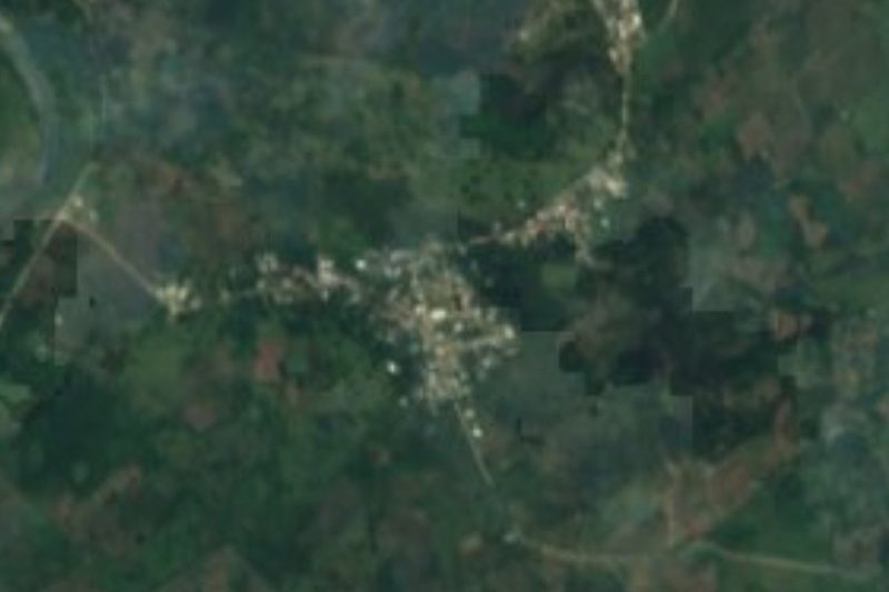
The village lies on low, hot ground about 50 metres above sea level, with an average temperature close to 24 °C. Federal Highway 130, the Pachuca–Tuxpan road, runs straight through it, and the Huizotate stream crosses the settlement. It sits right against the northern edge of Poza Rica and, like other Tihuatlán communities, now belongs to that oil city's metropolitan area; two of its streets are even called Pemex and Carretera a Pemex. It is a place where people live and pass through rather than a destination: there is a primary school, neighbourhood shops and a roadside restaurant or two. In 2020, 85% of homes had a mobile phone and 43% had internet.
The municipality straddles the line between the Huasteca and Totonac country and calls itself the furniture capital of Veracruz, for its many carpentry workshops and furniture stores. In the town of Tihuatlán, Saint Francis of Assisi is celebrated from 4 to 8 October, and at dawn on the 4th the Danza de la Vaca is performed to drum and flute. Regional dishes include zacahuil, caldo macho and empascalado stews, and the Cazones River is the nearest place to cool off.
How to get to General Lázaro Cárdenas del Río
Drive from Poza Rica: 10 min, 9 km
From central Poza Rica it is about 7 km and 8 minutes: head north on Federal Highway 180 and take Federal Highway 130 towards Tihuatlán, which runs straight into the village. From the municipal seat, Tihuatlán, it is about 17 km (some 17 minutes) south on the same Highway 130. From Papantla, the nearest Pueblo Mágico, allow about 32 km and half an hour: the El Tajín road, Federal Highway 127 to Poza Rica, then the 130. By bus, Poza Rica is the practical arrival point: its Central Norte terminal is served by more than 30 lines (ADO, Estrella Blanca and others), and another terminal handles departures south to Xalapa, Veracruz and Coatzacoalcos; Tihuatlán also has an ADO and Estrella Blanca terminal. From Poza Rica, continue by taxi or on the area's city buses and shared taxis; we found no published routes or timetables to the village itself.
Directions to General Lázaro Cárdenas del Río on Google Maps
Distances are in a straight line; the road is usually longer.
Links open a partner site. We may earn a commission if you book, at no cost to you.
From the nearest cities to General Lázaro Cárdenas del Río
Drive times by road from OpenStreetMap, without traffic or stops. Times marked ~ are estimated from the straight-line distance.
Visiting General Lázaro Cárdenas del Río: what to see and do
Federal Highway 130 (Pachuca–Tuxpan), which runs through the village.
The Huizotate stream crossing the settlement.
The furniture workshops and stores of Tihuatlán municipality.
The feast of Saint Francis of Assisi in Tihuatlán, 4 to 8 October, with the Danza de la Vaca.
The Cazones River.
Plan your trip
Places to stay in General Lázaro Cárdenas del Río
Compare hotels, posadas, and rentals in and around General Lázaro Cárdenas del Río.
Tours & activities
Day trips and guided outings from Papantla often include General Lázaro Cárdenas del Río; with a local guide you can get there without a car.
Rental cars
Pick up a car at PAZ (Poza Rica): about 2 h 45 min by road to Papantla, then 22 km more to General Lázaro Cárdenas del Río, on your own schedule.
Flights
The nearest airport with scheduled flights is Poza Rica (PAZ), about 2 h 45 min by road from Papantla, the base for General Lázaro Cárdenas del Río.
Mobile data
Signal can drop away from Papantla: download a map of the way to General Lázaro Cárdenas del Río before you set out, or carry an eSIM with data.
Links open a partner site. We may earn a commission if you book, at no cost to you.
When to go to General Lázaro Cárdenas del Río warm
General Lázaro Cárdenas del Río shares the climate of Papantla, 22 km away. The best months to visit are February, March, April, and December.
See the month-by-month climate of Papantla
Weather in General Lázaro Cárdenas del Río now and the next 7 days
Live forecast from Open-Meteo. Chance of rain is the day's highest.
The closest Pueblo Mágico: Papantla

Papantla is the Pueblo Mágico closest to General Lázaro Cárdenas del Río, with places to stay, food, and more to see.
Also close to
- Zozocolco · Veracruz · 49 km away
- Xicotepec · Puebla · 59 km away
- Cuetzalan · Puebla · 62 km away
- Huauchinango · Puebla · 74 km away
- Pahuatlán · Puebla · 76 km away
Closest to General Lázaro Cárdenas del Río
-
Poza Rica de Hidalgo · City · 6 km away
-
Corralillos · Village · 11 km away
-
Cristo Redentor · Landmark · 16 km away
-
Tihuatlán · Town · 16 km away
-
El Tajín · Archaeological site · 18 km away
-
Venustiano Carranza · Village · 20 km away
-
Ciudad de Lázaro Cárdenas · Town · 26 km away
-
El Volador · Village · 26 km away
Near General Lázaro Cárdenas del Río







Drive times by road from OpenStreetMap, without traffic. Times marked ~ are estimated from the straight-line distance.
Location from OpenStreetMap. Written by Puebloteca.