Village Coatzintla, Veracruz Totonacapan
A Totonac-country village in Coatzintla, a quarter hour from Poza Rica, with an unexcavated archaeological site, a community museum and river pools.
From Poza Rica: 15 min by car (13 km by road) How to get there ↓
Near here
See everything nearby ↓



Plan your visit to Corralillos
Where to stay near Corralillos
Compare hotels, posadas and guest houses in Corralillos.
Tours to Corralillos
Day trips and guided outings from Papantla often include Corralillos; with a local guide you can get there without a car.
How to get to Corralillos
- From Poza Rica: about 15 min by road (~13 km)
- Nearest airport: Poza Rica (PAZ), 2 h 45 min by car to Papantla
Links open a partner site. We may earn a commission if you book, at no cost to you.
About Corralillos
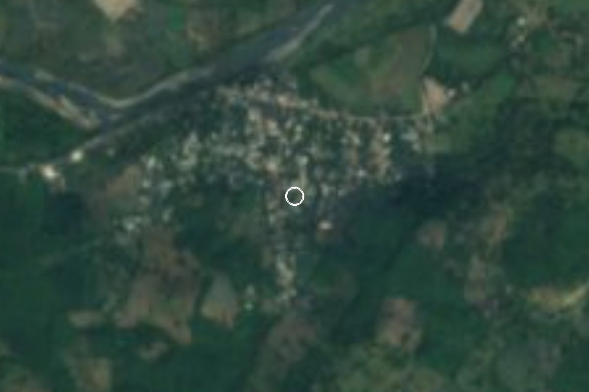
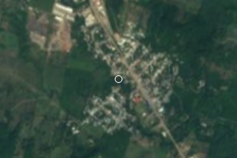
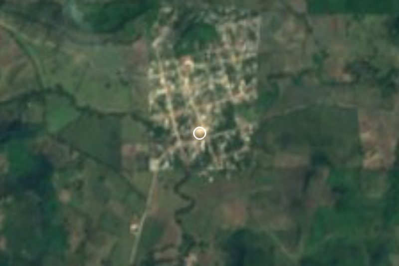
Less than fifteen minutes from Poza Rica, Corralillos is one of the larger villages of Coatzintla, a municipality that belongs to the Poza Rica metropolitan area and to the Totonac country of northern Veracruz. It lies on low ground, 74 metres above sea level, with a warm climate and summer rains.
The census record tracks its growth neatly: 3 inhabitants in 1900, 263 in 1921, 393 in 1950 and more than a thousand by 1980. By 2020 there were 1,424, putting it among the most populous places in the municipality after the seat, Geovillas del Real, Manuel María Contreras and Palma Sola.
For visitors the draw is the pre-Hispanic past. Corralillos has an archaeological zone that has never been formally excavated, and the village keeps one of the municipality's two community museums, with Totonac pieces and photographs of local history; check ahead that it is open. The Corralillos river has flat stretches and pools where people go in to cool off.
The municipality's main feast is Saint James the Apostle on 25 July in Coatzintla, with voladores, negritos, santiagueros and the dance of Moors and Christians. Local cooking includes pulacles (masa tamales wrapped in banana leaf), turkey mole, yucca flower with pipián and sweet corn bollitos.
How to get to Corralillos
Drive from Poza Rica: 15 min, 13 km
From central Poza Rica it is about 13 km and 15 minutes: take Federal Highway 127 south (Avenida Adolfo López Mateos, then the Poza Rica–El Chote stretch) and, past Coatzintla, take the road to Palma Sola for about 7 paved km to Corralillos. From the town of Coatzintla it is about 9 km, some 10 minutes. From Papantla, the nearest Pueblo Mágico, it is about 28 km and half an hour via El Tajín and Highway 127. Long-distance buses arrive at the ADO terminal in Poza Rica; we found no published colectivo route to Corralillos, so ask in Coatzintla about transport towards Palma Sola.
Directions to Corralillos on Google Maps
Distances are in a straight line; the road is usually longer.
Links open a partner site. We may earn a commission if you book, at no cost to you.
From the nearest cities to Corralillos
Drive times by road from OpenStreetMap, without traffic or stops. Times marked ~ are estimated from the straight-line distance.
Visiting Corralillos: what to see and do
The Corralillos archaeological zone, still unexcavated.
The community museum, with Totonac pieces and old photographs of the municipality.
The swimming pools of the Corralillos river.
The feast of Saint James in Coatzintla, 25 July.
Pulacles, turkey mole and sweet corn bollitos.
Plan your trip
Places to stay in Corralillos
Compare hotels, posadas, and rentals in and around Corralillos.
Tours & activities
Day trips and guided outings from Papantla often include Corralillos; with a local guide you can get there without a car.
Rental cars
Pick up a car at PAZ (Poza Rica): about 2 h 45 min by road to Papantla, then 21 km more to Corralillos, on your own schedule.
Flights
The nearest airport with scheduled flights is Poza Rica (PAZ), about 2 h 45 min by road from Papantla, the base for Corralillos.
Mobile data
Signal can drop away from Papantla: download a map of the way to Corralillos before you set out, or carry an eSIM with data.
Links open a partner site. We may earn a commission if you book, at no cost to you.
When to go to Corralillos warm
Corralillos shares the climate of Papantla, 21 km away. The best months to visit are February, March, April, and December.
See the month-by-month climate of Papantla
Weather in Corralillos now and the next 7 days
Live forecast from Open-Meteo. Chance of rain is the day's highest.
The closest Pueblo Mágico: Papantla

Papantla is the Pueblo Mágico closest to Corralillos, with places to stay, food, and more to see.
Also close to
- Zozocolco · Veracruz · 38 km away
- Xicotepec · Puebla · 50 km away
- Cuetzalan · Puebla · 51 km away
- Huauchinango · Puebla · 65 km away
- Pahuatlán · Puebla · 69 km away
Closest to Corralillos
-
Poza Rica de Hidalgo · City · 10 km away
-
General Lázaro Cárdenas del Río · Village · 11 km away
-
Venustiano Carranza · Village · 15 km away
-
El Tajín · Archaeological site · 16 km away
-
Ciudad de Lázaro Cárdenas · Town · 18 km away
-
Cristo Redentor · Landmark · 26 km away
-
Tihuatlán · Town · 26 km away
-
Coyutla · Town · 30 km away


Near Corralillos

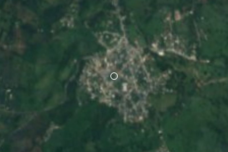




Drive times by road from OpenStreetMap, without traffic. Times marked ~ are estimated from the straight-line distance.
Location from OpenStreetMap. Written by Puebloteca.