
Village Venustiano Carranza, Puebla Sierra Norte de Puebla
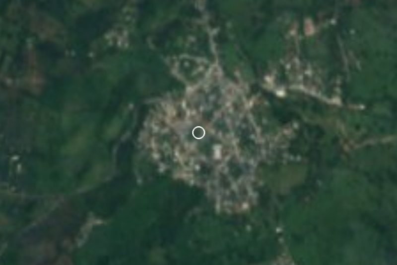
Agua Fría, once Atlytztic: a hot lowland town at Puebla's far northern tip, 23 km from Poza Rica, with a Guadalupe fair every 12 December.
From Poza Rica: 35 min by car (33 km by road) How to get there ↓
Near here
See everything nearby ↓


Plan your visit to Venustiano Carranza
Where to stay near Venustiano Carranza
Compare hotels, posadas and guest houses in Venustiano Carranza.
Tours to Venustiano Carranza
Day trips and guided outings from Papantla often include Venustiano Carranza; with a local guide you can get there without a car.
How to get to Venustiano Carranza
- From Poza Rica: about 35 min by road (~33 km)
- Nearest airport: Poza Rica (PAZ), 2 h 45 min by car to Papantla
Links open a partner site. We may earn a commission if you book, at no cost to you.
About Venustiano Carranza
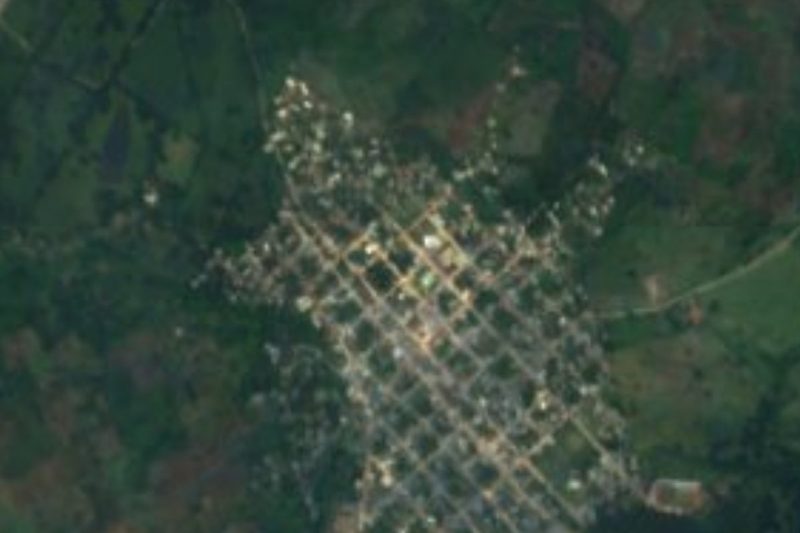
Many people in the region still call it Agua Fría, "cold water", which is exactly what its original Nahuatl name, Atlytztic, means: atl, water, tztiz, cold, plus a place suffix. Totonac and Otomí groups settled here and paid tribute to Texcoco, and in colonial times the hamlet was known as Agua Fría. The present name came with the decree of 29 August 1951, which created a new municipality from localities split off from Jalpan, in the old Huauchinango district, and named it after the president murdered at Tlaxcalantongo. In 2020 the town had 6,072 residents and it sits only about 120 m up, at the edge of the coastal plain, 23 km in a straight line from Poza Rica and 36 km from Papantla, both across the line in Veracruz.
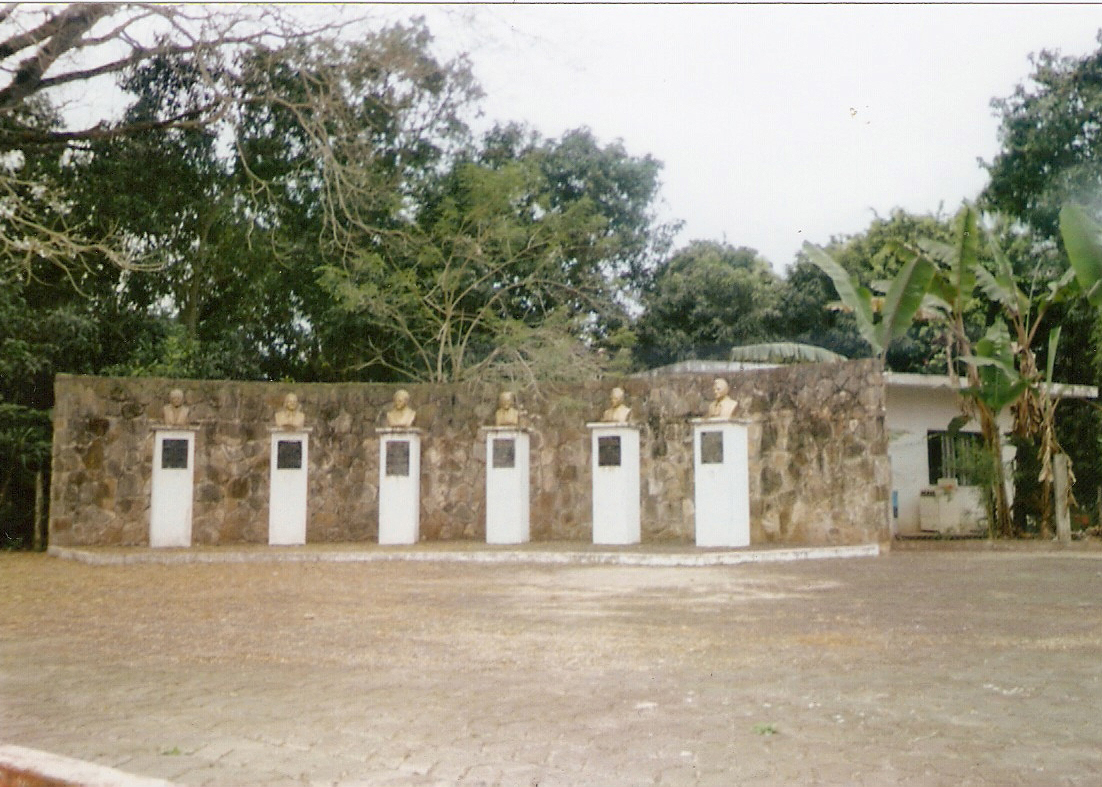
The calendar revolves around the Virgin of Guadalupe, patron of the parish church, a 20th-century building. 12 December is the big day of the year: masses, baptisms and weddings, processions coming down from the outlying neighbourhoods and ranches, traditional dances, a jaripeo, fireworks and brass bands, and alongside it the Feria de Agua Fría, with shows on the Teatro del Pueblo stage and traders from around the area selling their goods. At Easter the Way of the Cross heads out towards El Chijolito along the road to La Desviación de Agua Fría, and on 1 and 2 November families build Huastec-style Day of the Dead altars. On Avenida 16 de Septiembre stands the monument to the municipality's founders, which locals call las cabezas, "the heads", and there is another to Carranza himself.
Heat rules here: averages run from 22 to 26 °C with 1,400 to 1,600 mm of rain, and almost two thirds of the land has a hot, humid climate. Pasture covers more than two fifths of the municipality and tropical forest about a fifth; the Cazones and San Marcos rivers cross it, and the San Marcos is best seen from Villa Lázaro Cárdenas, where every 18 March since 2011 the Oil Festival marks the 1938 expropriation with a school parade, sport and concerts. More than a thousand residents speak indigenous languages, mainly Nahuatl, Totonac and Otomí. The kitchen offers zacahuil, the giant Huastec tamale, along with smoked chicken, mole and pipián; for dessert there are marcaculli and cinnamon preserves, and to drink, chocolate, coffee and jobo wine. Local people work clay and timber.
How to get to Venustiano Carranza
Drive from Poza Rica: 35 min, 33 km
We found no direct service from Puebla city, about 172 km away in a straight line. The practical route is to reach Poza Rica first: ADO and Autotransportes Tlaxcala-Apizaco-Huamantla (ATAH) leave Puebla's CAPU for that city several times a day. From Poza Rica, 23 km away in a straight line, finish by local transport or taxi; Papantla is 36 km away.
Directions to Venustiano Carranza on Google Maps
Distances are in a straight line; the road is usually longer.
Links open a partner site. We may earn a commission if you book, at no cost to you.
From the nearest cities to Venustiano Carranza
Drive times by road from OpenStreetMap, without traffic or stops. Times marked ~ are estimated from the straight-line distance.
Visiting Venustiano Carranza: what to see and do
The parish of Santa María de Guadalupe and its 12 December fair.
The founders' monument (las cabezas) on Avenida 16 de Septiembre.
The San Marcos River from Villa Lázaro Cárdenas.
The Coronel Tito Hernández (María Andrea) waterfalls.
The Estrella Roja dam and the sierra panorama from San Bartolo.
Plan your trip
Places to stay in Venustiano Carranza
Compare hotels, posadas, and rentals in and around Venustiano Carranza.
Tours & activities
Day trips and guided outings from Papantla often include Venustiano Carranza; with a local guide you can get there without a car.
Rental cars
Pick up a car at PAZ (Poza Rica): about 2 h 45 min by road to Papantla, then 36 km more to Venustiano Carranza, on your own schedule.
Flights
The nearest airport with scheduled flights is Poza Rica (PAZ), about 2 h 45 min by road from Papantla, the base for Venustiano Carranza.
Mobile data
Signal can drop away from Papantla: download a map of the way to Venustiano Carranza before you set out, or carry an eSIM with data.
Links open a partner site. We may earn a commission if you book, at no cost to you.
When to go to Venustiano Carranza warm
Venustiano Carranza shares the climate of Papantla, 36 km away. The best months to visit are February, March, April, and December.
See the month-by-month climate of Papantla
Weather in Venustiano Carranza now and the next 7 days
Live forecast from Open-Meteo. Chance of rain is the day's highest.
The closest Pueblo Mágico: Papantla

Papantla is the Pueblo Mágico closest to Venustiano Carranza, with places to stay, food, and more to see.
Also close to
- Xicotepec · Puebla · 39 km away
- Zozocolco · Veracruz · 41 km away
- Huauchinango · Puebla · 54 km away
- Cuetzalan · Puebla · 56 km away
- Pahuatlán · Puebla · 56 km away
Closest to Venustiano Carranza
-
Ciudad de Lázaro Cárdenas · Town · 6 km away
-
Corralillos · Village · 15 km away
-
Ameluca · Village · 18 km away
-
General Lázaro Cárdenas del Río · Village · 20 km away
-
Mecapalapa · Village · 20 km away
-
Apapantilla · Village · 22 km away
-
Poza Rica de Hidalgo · City · 23 km away
-
Progreso de Zaragoza · Village · 26 km away


Near Venustiano Carranza




Drive times by road from OpenStreetMap, without traffic. Times marked ~ are estimated from the straight-line distance.
Location from OpenStreetMap. Written by Puebloteca.