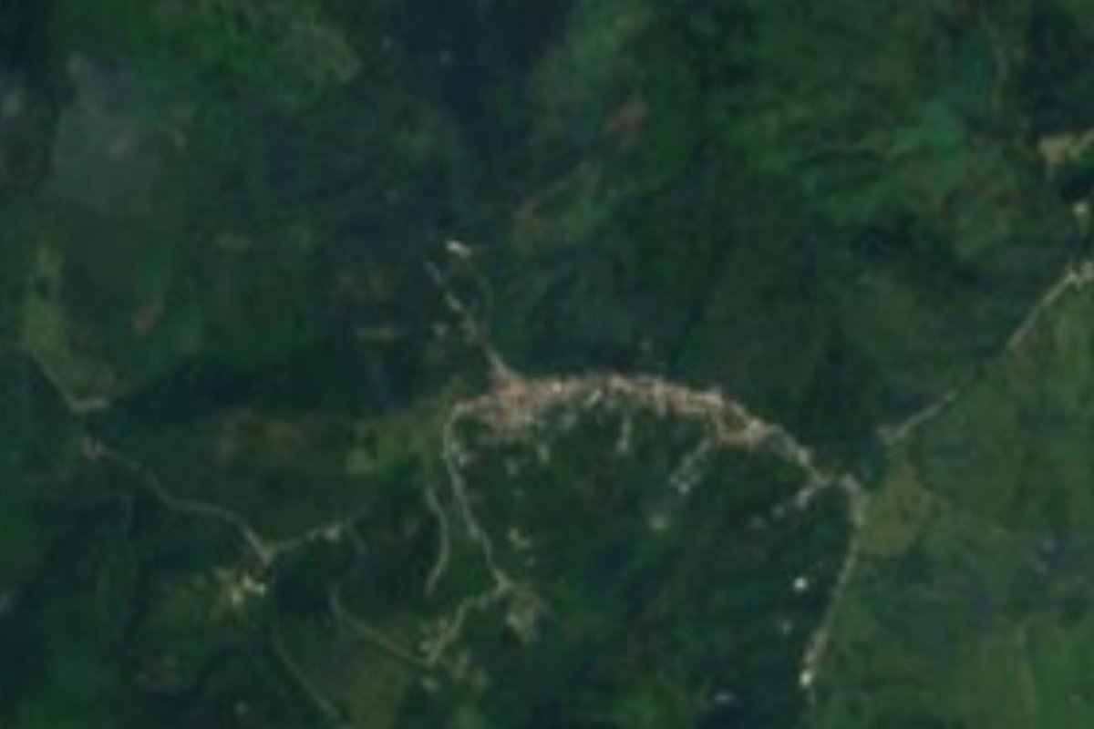
Village Tlaxco, Puebla Sierra Norte de Puebla
Mountain seat of Tlaxco, Puebla (not the Tlaxcala town), at 870 m and 15 km from Xicotepec; its parish is San Agustín.
From Huauchinango: 1 h 10 min by car (64 km by road) How to get there ↓
Near here
See everything nearby ↓


Plan your visit to Tlaxco
Where to stay near Tlaxco
Compare hotels, posadas and guest houses in Tlaxco.
Tours to Tlaxco
Day trips and guided outings from Xicotepec often include Tlaxco; with a local guide you can get there without a car.
How to get to Tlaxco
- From Huauchinango: about 1 h 10 min by road (~64 km)
- Nearest airport: Poza Rica (PAZ), 2 h 7 min by car to Xicotepec
Links open a partner site. We may earn a commission if you book, at no cost to you.
About Tlaxco
Not to be confused with its namesake in Tlaxcala: this Tlaxco is a town in Puebla's Sierra Norte, seat of the northwestern municipality that shares its name. Its name comes from Nahuatl tlalli, earth, ixtli, face or surface, and the locative co, and translates as "on the surface of the land". In the 2020 census it had 1,244 inhabitants, and it sits at about 870 metres roughly 15 km from Xicotepec, about 51 km from Tulancingo and some 155 km from the state capital.
All of the municipality's water flows toward the Tuxpan river basin by way of the Pantepec. INEGI lists the Acalman and the Blanco as year-round streams and El Álamo as seasonal. Rain falls all year, 2,500 to 2,600 mm, and average temperatures run from 18 to 24 °C: a humid semi-warm climate with no marked dry season. Half the land is farmed, about a third is still woodland and around 16% is grazing pasture.
The building INEGI singles out in town is the parish church of San Agustín, from the 19th century. The compendium counts few Indigenous-language speakers in the municipality, 208, of Nahuatl, Otomí, Tepehua and Totonac. Food follows the sierra pattern, with mole poblano, pipián, tamales and tlacoyos, plus chocolate and coffee to drink; the music at fiestas is huapango. La Lagunilla, in neighbouring Tlacuilotepec, lies about 4 km to the southeast.
How to get to Tlaxco
Drive from Huauchinango: 1 h 10 min, 64 km
Tlaxco is about 155 km from the city of Puebla and some 15 km from Xicotepec, the nearest city with full services. From Hidalgo, Tulancingo is about 51 km away. Take care when searching maps or asking for transport: Tlaxco in Tlaxcala state is a different town in another state.
Directions to Tlaxco on Google Maps
Distances are in a straight line; the road is usually longer.
Links open a partner site. We may earn a commission if you book, at no cost to you.
From the nearest cities to Tlaxco
- Huauchinango · 64 km by road, 1 h 10 min
- Poza Rica · 91 km by road, 1 h 30 min
- Pachuca · about 105 km by road, ~1 h 35 min
Drive times by road from OpenStreetMap, without traffic or stops. Times marked ~ are estimated from the straight-line distance.
Visiting Tlaxco: what to see and do
The 19th-century parish church of San Agustín in the town centre. Surrounding woods and pastures watered by the Acalman and Blanco rivers. Tlacoyos, pipián and local coffee.
Plan your trip
Places to stay in Tlaxco
Compare hotels, posadas, and rentals in and around Tlaxco.
Tours & activities
Day trips and guided outings from Xicotepec often include Tlaxco; with a local guide you can get there without a car.
Rental cars
Pick up a car at PAZ (Poza Rica): about 2 h 7 min by road to Xicotepec, then 15 km more to Tlaxco, on your own schedule.
Flights
The nearest airport with scheduled flights is Poza Rica (PAZ), about 2 h 7 min by road from Xicotepec, the base for Tlaxco.
Mobile data
Signal can drop away from Xicotepec: download a map of the way to Tlaxco before you set out, or carry an eSIM with data.
Links open a partner site. We may earn a commission if you book, at no cost to you.
When to go to Tlaxco mild
Tlaxco shares the climate of Xicotepec, 15 km away. The best months to visit are January, February, March, and December.
See the month-by-month climate of Xicotepec
Weather in Tlaxco now and the next 7 days
Live forecast from Open-Meteo. Chance of rain is the day's highest.
The closest Pueblo Mágico: Xicotepec

Xicotepec is the Pueblo Mágico closest to Tlaxco, with places to stay, food, and more to see.
Also close to
- Pahuatlán · Puebla · 20 km away
- Huauchinango · Puebla · 28 km away
- Acaxochitlán · Hidalgo · 35 km away
- Zacatlán · Puebla · 55 km away
- Zozocolco · Veracruz · 56 km away
Closest to Tlaxco
-
La Lagunilla · Village · 4 km away
-
Huehuetla · Village · 6 km away
-
Tlacuilotepec · Village · 12 km away
-
Villa Ávila Camacho (La Ceiba) · Town · 16 km away
-
Museo Casa Carranza · Landmark · 18 km away
-
San Bartolo Tutotepec · Village · 18 km away
-
Valle Verde · Village · 18 km away
-
Apapantilla · Village · 19 km away

Near Tlaxco






Drive times by road from OpenStreetMap, without traffic. Times marked ~ are estimated from the straight-line distance.
Location from OpenStreetMap. Written by Puebloteca.