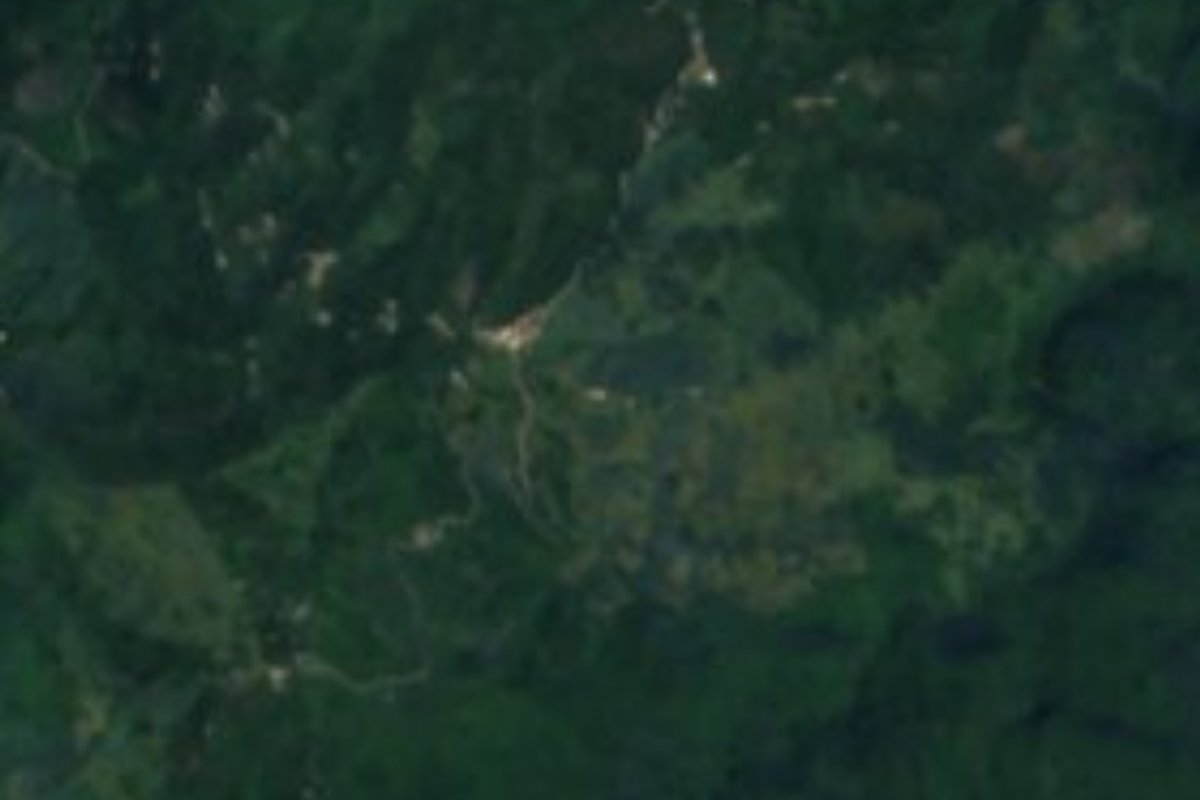
Village Tlacuilotepec, Puebla Sierra Norte de Puebla
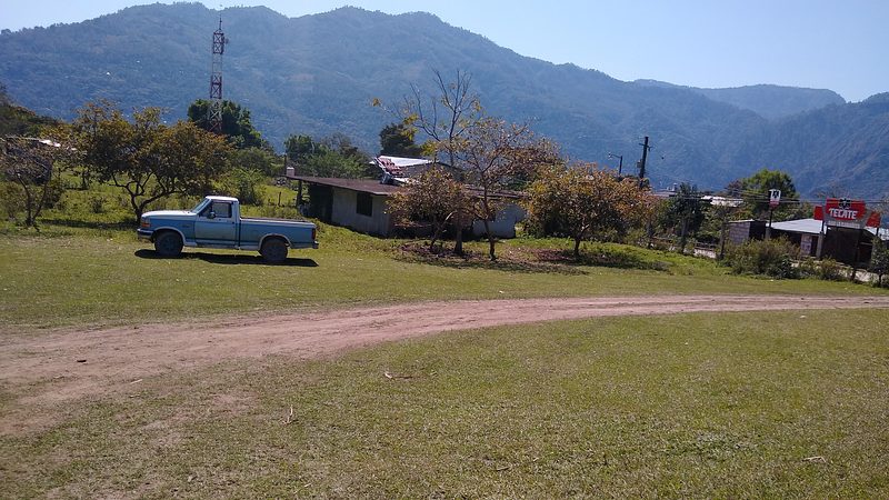
Hamlet of Tlacuilotepec at 765 m, nearly 600 m below its municipal seat, among pastures and streams draining to the Pantepec.
From Huauchinango: 1 h 15 min by car (49 km by road) How to get there ↓
Near here
See everything nearby ↓


Plan your visit to La Lagunilla
Where to stay near La Lagunilla
Compare hotels, posadas and guest houses in La Lagunilla.
Tours to La Lagunilla
Day trips and guided outings from Xicotepec often include La Lagunilla; with a local guide you can get there without a car.
How to get to La Lagunilla
- From Huauchinango: about 1 h 15 min by road (~49 km)
- Nearest airport: Poza Rica (PAZ), 2 h 7 min by car to Xicotepec
Links open a partner site. We may earn a commission if you book, at no cost to you.
About La Lagunilla
Nearly six hundred metres separate La Lagunilla from its municipal seat: Tlacuilotepec stands at about 1,340 metres, while this hamlet of 345 people (2020 census) lies at just 765, in the lower reaches of the sierra. Xicotepec, the reference city in this northwestern corner of the state, is about 11 km away, Tulancingo in Hidalgo about 51 km, and the city of Puebla some 152 km. Roughly 4 km to the northwest is Tlaxco, seat of the neighbouring municipality.
Water here does not reach the Gulf by the Tecolutla, as in much of the sierra, but through the Tuxpan and Cazones basins. INEGI lists the Pantepec, San Marcos and Acalman as year-round rivers in the municipality and El Álamo as seasonal. Rain falls in every month, 2,400 to 2,600 mm a year, with temperatures of 16 to 24 °C; nearly all of Tlacuilotepec has a humid semi-warm climate, with small warm and temperate strips at the altitude extremes.
The landscape is mostly ranching and farming: over a third of the municipality is pasture and another 43% is cultivated, while woodland covers about 14% and tropical forest under 8%. Tlacuilotepec has speakers of several Indigenous languages, among them Nahuatl, Otomí, Tepehua and Totonac, according to the compendium. Local hands make pottery, baskets and embroidery, and the kitchen offers pipián, pazcal, barbacoa and tamales, with coffee and aguardiente to drink. In the municipal seat, the church of Cristo Rey dates from the 17th century.
How to get to La Lagunilla
Drive from Huauchinango: 1 h 15 min, 49 km
La Lagunilla is about 152 km from the city of Puebla, but its real base is Xicotepec, around 11 km away, with services and transport. Tulancingo, Hidalgo, is about 51 km off and Tlaxco, Puebla, around 4 km. The last stretch is on mountain roads, by car or local transport.
Directions to La Lagunilla on Google Maps
Distances are in a straight line; the road is usually longer.
Links open a partner site. We may earn a commission if you book, at no cost to you.
From the nearest cities to La Lagunilla
- Huauchinango · 49 km by road, 1 h 15 min
- Poza Rica · 92 km by road, 1 h 50 min
- Tulancingo · 85 km by road, 1 h 55 min
Drive times by road from OpenStreetMap, without traffic or stops. Times marked ~ are estimated from the straight-line distance.
Visiting La Lagunilla: what to see and do
Low slopes of pasture and streams feeding the Pantepec. Up in the municipal seat, the 17th-century church of Cristo Rey. Baskets, pottery and embroidery from the municipality, and coffee from the region.
Plan your trip
Places to stay in La Lagunilla
Compare hotels, posadas, and rentals in and around La Lagunilla.
Tours & activities
Day trips and guided outings from Xicotepec often include La Lagunilla; with a local guide you can get there without a car.
Rental cars
Pick up a car at PAZ (Poza Rica): about 2 h 7 min by road to Xicotepec, then 11 km more to La Lagunilla, on your own schedule.
Flights
The nearest airport with scheduled flights is Poza Rica (PAZ), about 2 h 7 min by road from Xicotepec, the base for La Lagunilla.
Mobile data
Signal can drop away from Xicotepec: download a map of the way to La Lagunilla before you set out, or carry an eSIM with data.
Links open a partner site. We may earn a commission if you book, at no cost to you.
When to go to La Lagunilla mild
La Lagunilla shares the climate of Xicotepec, 11 km away. The best months to visit are January, February, March, and December.
See the month-by-month climate of Xicotepec
Weather in La Lagunilla now and the next 7 days
Live forecast from Open-Meteo. Chance of rain is the day's highest.
The closest Pueblo Mágico: Xicotepec

Xicotepec is the Pueblo Mágico closest to La Lagunilla, with places to stay, food, and more to see.
Also close to
- Pahuatlán · Puebla · 20 km away
- Huauchinango · Puebla · 25 km away
- Acaxochitlán · Hidalgo · 34 km away
- Zacatlán · Puebla · 52 km away
- Zozocolco · Veracruz · 52 km away
Closest to La Lagunilla
-
Tlaxco · Village · 4 km away
-
Huehuetla · Village · 11 km away
-
Tlacuilotepec · Village · 11 km away
-
Villa Ávila Camacho (La Ceiba) · Town · 13 km away
-
Apapantilla · Village · 16 km away
-
Tlaxcalantongo · Town · 16 km away
-
Presa Necaxa · Lake · 20 km away
-
San Pablito · Town · 20 km away


Near La Lagunilla



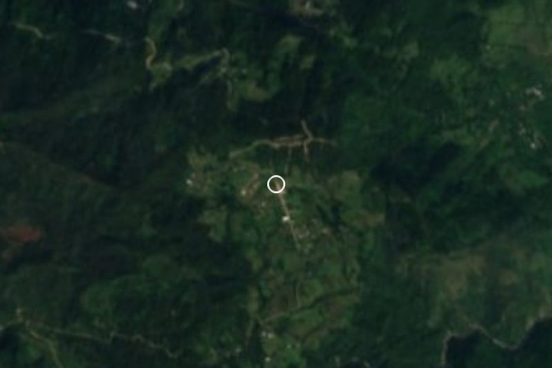
Drive times by road from OpenStreetMap, without traffic. Times marked ~ are estimated from the straight-line distance.
Location from OpenStreetMap. Written by Puebloteca.