

Village Texcatepec, Veracruz Totonacapan
Texcatepec's largest Otomí community, in the mountains of northern Veracruz; its Nahuatl name means place of armadillos, and it holds the Godeni in spring.
From Tulancingo: 2 h 25 min by car (109 km by road) How to get there ↓
Near here
See everything nearby ↓

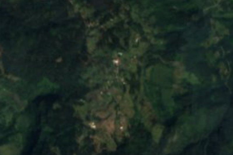
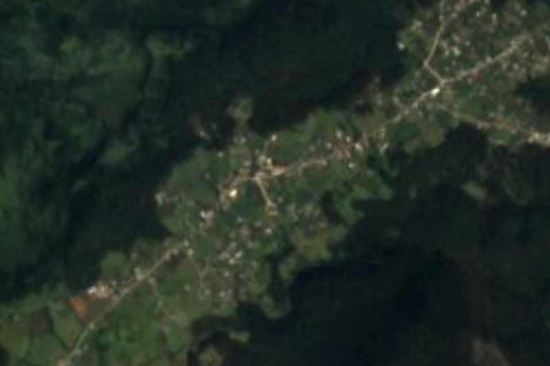


Plan your visit to Ayotuxtla
Where to stay near Ayotuxtla
Compare hotels, posadas and guest houses in Ayotuxtla.
Tours to Ayotuxtla
Day trips and guided outings from Pahuatlán often include Ayotuxtla; with a local guide you can get there without a car.
How to get to Ayotuxtla
- From Tulancingo: about 2 h 25 min by road (~109 km)
- Nearest airport: Poza Rica (PAZ), 2 h 3 min by car to Pahuatlán
Links open a partner site. We may earn a commission if you book, at no cost to you.
About Ayotuxtla
With 2,056 residents in the 2020 census, Ayotuxtla is almost twice the size of Texcatepec, the municipal seat further south in the same range. It is an Otomí village in the mountains between northern Veracruz and Hidalgo, and Otomí is still the mother tongue; the local variety is known to linguists as Texcatepec Otomí.
The name comes from the Nahuatl ayotochtli, armadillo, and roughly means "place where armadillos abound". Armadillos are still part of the local wildlife, along with rabbits, squirrels, opossums and badgers, in a temperate forest of oak, ash, ocote pine, willow and poplar. Most of the rain falls in summer and early autumn, and the streams here drain into the Vinasco River, a tributary of the Tuxpan.
What sets Ayotuxtla apart is the Godeni, a spring festival in which the community celebrates the birth of a new flower. Dances performed across the municipality include the Greeting, called Atzi in Otomí, and the Tzujamadi, the dance "of a thousand thanks", accompanied by wind bands, brass bands and huapango. Blouses, tablecloths and napkins are embroidered, baskets are woven and wood is carved, and fiesta tables carry turkey mole and lamb barbacoa. The fields are planted mainly with maize, beans and coffee.
How to get to Ayotuxtla
Drive from Tulancingo: 2 h 25 min, 109 km
Ayotuxtla sits in remote mountain country, and every driving route goes through Texcatepec. From the municipal seat it is about 19 km of mountain road, around 30 minutes. From Huayacocotla it is about 71 km, roughly 1 h 40 min. From Tulancingo, the nearest large city, it is about 109 km and some 2 h 30 min: head north on Hidalgo state road 51 (San Alejo-Huayacocotla), then follow the mountain roads to Texcatepec. From Pahuatlán, the nearest Pueblo Mágico, the trip is about 120 km and over 2 h 40 min on the same roads. We found no intercity bus line or published colectivo timetable to Ayotuxtla; the practical options are your own vehicle or asking in Huayacocotla or Texcatepec about local pickup-truck transport.
Directions to Ayotuxtla on Google Maps
Distances are in a straight line; the road is usually longer.
Links open a partner site. We may earn a commission if you book, at no cost to you.
From the nearest cities to Ayotuxtla
- Tulancingo · 109 km by road, 2 h 25 min
- Huauchinango · 134 km by road, 2 h 50 min
- Tuxpan · 152 km by road, 3 h
Drive times by road from OpenStreetMap, without traffic or stops. Times marked ~ are estimated from the straight-line distance.
Visiting Ayotuxtla: what to see and do
The Godeni, the community's spring festival.
The Otomí dances of the Greeting (Atzi) and the Tzujamadi.
Embroidered blouses, tablecloths and napkins.
The oak and ocote pine forest of the Texcatepec mountains.
The feast of Saint John the Baptist in the municipal seat, 24 June.
Plan your trip
Places to stay in Ayotuxtla
Compare hotels, posadas, and rentals in and around Ayotuxtla.
Tours & activities
Day trips and guided outings from Pahuatlán often include Ayotuxtla; with a local guide you can get there without a car.
Rental cars
Pick up a car at PAZ (Poza Rica): about 2 h 3 min by road to Pahuatlán, then 44 km more to Ayotuxtla, on your own schedule.
Flights
The nearest airport with scheduled flights is Poza Rica (PAZ), about 2 h 3 min by road from Pahuatlán, the base for Ayotuxtla.
Mobile data
Signal can drop away from Pahuatlán: download a map of the way to Ayotuxtla before you set out, or carry an eSIM with data.
Links open a partner site. We may earn a commission if you book, at no cost to you.
When to go to Ayotuxtla mild
Ayotuxtla shares the climate of Pahuatlán, 44 km away. The best months to visit are January, February, March, and December.
See the month-by-month climate of Pahuatlán
Weather in Ayotuxtla now and the next 7 days
Live forecast from Open-Meteo. Chance of rain is the day's highest.
The closest Pueblo Mágico: Pahuatlán

Pahuatlán is the Pueblo Mágico closest to Ayotuxtla, with places to stay, food, and more to see.
Also close to
- Metztitlán · Hidalgo · 48 km away
- Xicotepec · Puebla · 52 km away
- Acaxochitlán · Hidalgo · 55 km away
- Huasca de Ocampo · Hidalgo · 58 km away
- Huauchinango · Puebla · 59 km away
Closest to Ayotuxtla
-
Chahuatlán · Village · 18 km away
-
Huayacocotla · Town · 22 km away
-
Tutotepec · Village · 25 km away
-
Carpinteros · Village · 26 km away
-
Tenamaxtepec · Village · 27 km away
-
Colatlán · Village · 29 km away
-
Atlalco · Village · 30 km away
-
San Bartolo Tutotepec · Village · 30 km away
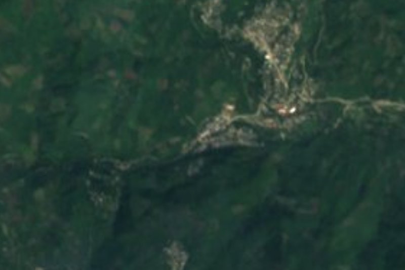
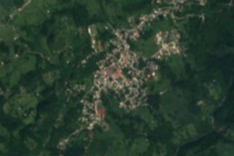
Near Ayotuxtla




Drive times by road from OpenStreetMap, without traffic. Times marked ~ are estimated from the straight-line distance.
Location from OpenStreetMap. Written by Puebloteca.