

Village Huautla, Hidalgo Municipality of Huautla Hidalgo Huasteca
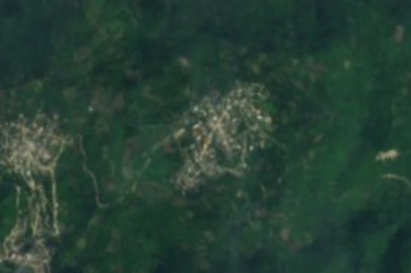
Village of 503 people at 216 m in the Hidalgo Huasteca, Huautla municipality, with an otate-working craft.
From Tulancingo: about 1 h 55 min by road (~135 km) How to get there ↓
Near here
See everything nearby ↓




Plan your visit to Huazalinguillo
Where to stay near Huazalinguillo
Compare hotels, posadas and guest houses in Huazalinguillo.
Tours to Huazalinguillo
Day trips and guided outings from Metztitlán often include Huazalinguillo; with a local guide you can get there without a car.
 Tours from Xilitla
Surrealist Garden of Edward James, Castle of Health and Xilitla Nativity
★ 4.3 (10) · From US$100
How to get to Huazalinguillo
- From Tulancingo: about 1 h 55 min by road (~135 km)
- Nearest airport: Mexico City (Felipe Ángeles) (NLU), 2 h 18 min by car to Metztitlán
Links open a partner site. We may earn a commission if you book, at no cost to you.
Tours from Xilitla, near Huazalinguillo


Tours, prices and ratings from Viator, checked weekly. We may earn a commission if you book.
About Huazalinguillo
Huazalinguillo lies at only 216 metres, in the low part of the Hidalgo Huasteca, Huautla municipality. The Sierra Madre Oriental arrives here as limestone sierra, in the Carso Huasteco, and the climate is semi-warm and humid with rain all year. Local water goes to the Calabozo River, in the Moctezuma basin. The name has a Nahuatl root and the village is listed among the state's Nahuatl place names.
The 2020 census counted 503 people in 144 occupied homes, 2.43% of the municipality. Its numbers have moved gently: 191 residents in 1900, 366 in 1930, 437 in 1940, a peak of 604 in 2000 and 503 in 2020. The village has high marginalisation and medium social lag.
A Wiki Loves México 2019 photograph shows an artisan working otate in Huazalinguillo; Commons files it under traditional craft techniques and uses of nature.
Around it, Huautla municipality lives off the land: more than 7,200 hectares of maize, about 700 of beans, cattle for milk and meat and raised turkeys. Another municipal photo shows a fisherman on the Calabozo River, in the stretch by the community of Coatzonco.
How to get to Huazalinguillo
Huazalinguillo is in Huautla municipality, in north-eastern Hidalgo. By bus, Rome2rio's listing shows a Futura service from Pachuca to Atlapexco twice a day; the final leg to Huautla and the village is not described, so ask in Atlapexco about local transport. By car, Pachuca to Huautla is about 180 km (112 miles) and roughly 3 h 30 min. In a straight line the village is about 70 km from Metztitlán (approx. 80 minutes) and about 97 km from Poza Rica (approx. 110 minutes).
Directions to Huazalinguillo on Google Maps
Distances are in a straight line; the road is usually longer.
Links open a partner site. We may earn a commission if you book, at no cost to you.
From the nearest cities to Huazalinguillo
- Tulancingo · about 135 km by road, ~1 h 55 min
- Pachuca · about 145 km by road, ~2 h 5 min
- Tuxpan · 130 km by road, 2 h 20 min
Drive times by road from OpenStreetMap, without traffic or stops. Times marked ~ are estimated from the straight-line distance.
Visiting Huazalinguillo: what to see and do
Otate craftwork, shown in a 2019 Wiki Loves México photo
Low Huasteca sierra at 216 m above sea level
Calabozo River, in Huautla municipality
Huautla, the municipal seat
Plan your trip
Places to stay in Huazalinguillo
Compare hotels, posadas, and rentals in and around Huazalinguillo.
Tours & activities
Day trips and guided outings from Metztitlán often include Huazalinguillo; with a local guide you can get there without a car.
Rental cars
Pick up a car at NLU (Mexico City (Felipe Ángeles)): about 2 h 18 min by road to Metztitlán, then 70 km more to Huazalinguillo, on your own schedule.
Flights
The nearest airport with scheduled flights is Mexico City (Felipe Ángeles) (NLU), about 2 h 18 min by road from Metztitlán, the base for Huazalinguillo.
Mobile data
Signal can drop away from Metztitlán: download a map of the way to Huazalinguillo before you set out, or carry an eSIM with data.
Links open a partner site. We may earn a commission if you book, at no cost to you.
When to go to Huazalinguillo mild
Huazalinguillo shares the climate of Metztitlán, 70 km away. The best months to visit are January, February, March, and December.
See the month-by-month climate of Metztitlán
Weather in Huazalinguillo now and the next 7 days
Live forecast from Open-Meteo. Chance of rain is the day's highest.
The closest Pueblo Mágico: Metztitlán

Metztitlán is the Pueblo Mágico closest to Huazalinguillo, with places to stay, food, and more to see.
Also close to
- Pahuatlán · Puebla · 79 km away
Closest to Huazalinguillo

Near Huazalinguillo








Drive times by road from OpenStreetMap, without traffic. Times marked ~ are estimated from the straight-line distance.
Location from OpenStreetMap. Written by Puebloteca.