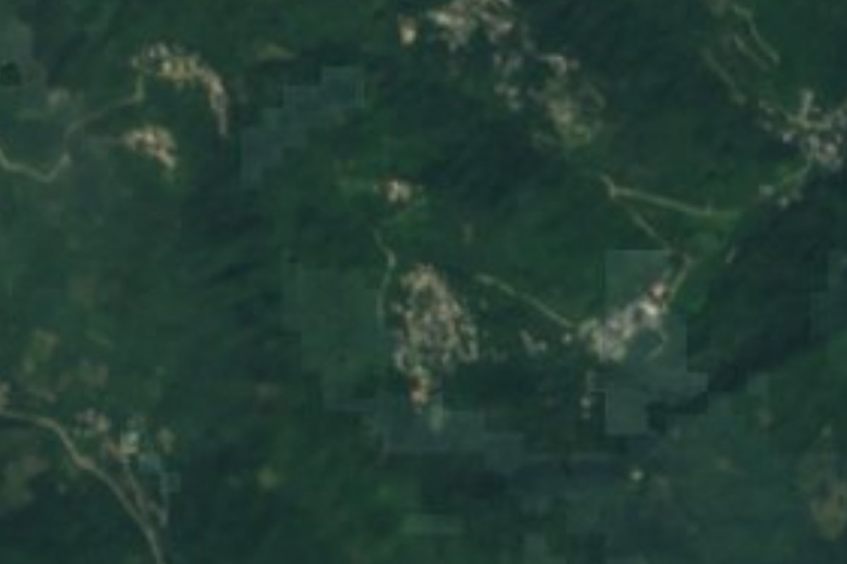
Village Huejutla de Reyes, Hidalgo Municipality of Huejutla de Reyes Hidalgo Huasteca
A village of 616 people in the Huejutla de Reyes Huasteca at 423 m; its Nahuatl name means "land below".
From Pachuca: about 2 h 10 min by road (~145 km) How to get there ↓
Near here
See everything nearby ↓

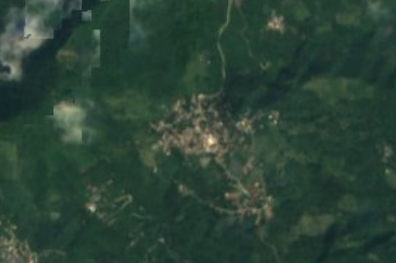



Plan your visit to Tlaltzintla
Where to stay near Tlaltzintla
Compare hotels, posadas and guest houses in Tlaltzintla.
Tours to Tlaltzintla
Day trips and guided outings from Xilitla often include Tlaltzintla; with a local guide you can get there without a car.
How to get to Tlaltzintla
- From Pachuca: about 2 h 10 min by road (~145 km)
- Nearest airport: Querétaro (QRO), 3 h 27 min by car to Xilitla
Links open a partner site. We may earn a commission if you book, at no cost to you.
About Tlaltzintla
Tlaltzintla comes from Nahuatl: tlalli, "earth", and tzintla, "below", that is, "land below" or "beneath the earth". It is a rural locality in the municipality of Huejutla de Reyes, in the Hidalgo Huasteca, at 423 metres. In 2020 it had 616 residents, 310 men and 306 women, 0.49% of the municipality's 126,781 people.
The terrain is sierra, on the edge of the Sierra Madre Oriental and the Carso Huasteco, within the Los Hules river subbasin (Pánuco hydrological region). The climate is warm-humid with rain all year. The municipality covers 394 km² and ranges from 100 to 1,400 metres, so Tlaltzintla sits in the lower half of that relief.
Two hamlets also carry its name: La Curva Tlaltzintla, with 455 people, and La Curva Tlaltzintla II, with 40, so it pays to ask on the spot which one is which. It is not a tourist destination but a village of the Hidalgo Huasteca.
How to get to Tlaltzintla
Tlaltzintla is part of the municipality of Huejutla de Reyes, whose seat, Huejutla, is the most logical starting point and the place to ask about the road and transport. The municipality borders San Felipe Orizatlán and Veracruz to the north, Veracruz, Huautla and Atlapexco to the east, and Atlapexco, Huazalingo and Tlanchinol to the south.
In a straight line Xilitla (San Luis Potosí) is about 60 km away and Pachuca about 112 km, and from the state capital the trip is long (at least about 130 minutes, more by road). The sensible approach is to drive from Huejutla or hire a taxi, and ask about the road's condition: it rains here all year.
Directions to Tlaltzintla on Google Maps
Distances are in a straight line; the road is usually longer.
Links open a partner site. We may earn a commission if you book, at no cost to you.
From the nearest cities to Tlaltzintla
- Pachuca · about 145 km by road, ~2 h 10 min
- Tulancingo · about 150 km by road, ~2 h 10 min
- Ciudad Valles · 160 km by road, 2 h 40 min
Drive times by road from OpenStreetMap, without traffic or stops. Times marked ~ are estimated from the straight-line distance.
Before you go to Tlaltzintla: hours, prices and tips
- Best season
- The climate is warm-humid with rain all year, so there is no dry season to plan around. Wikipedia: Tlaltzintla · checked Oct 2026
Hours and prices change, especially around holidays. Each fact links to where we checked it.
Visiting Tlaltzintla: what to see and do
The low, warm Huasteca landscape with rain all year
The Los Hules river, whose subbasin covers the village
The hamlets La Curva Tlaltzintla and La Curva Tlaltzintla II
Huejutla de Reyes, the municipal seat
Plan your trip
Places to stay in Tlaltzintla
Compare hotels, posadas, and rentals in and around Tlaltzintla.
Tours & activities
Day trips and guided outings from Xilitla often include Tlaltzintla; with a local guide you can get there without a car.
Rental cars
Pick up a car at QRO (Querétaro): about 3 h 27 min by road to Xilitla, then 60 km more to Tlaltzintla, on your own schedule.
Flights
The nearest airport with scheduled flights is Querétaro (QRO), about 3 h 27 min by road from Xilitla, the base for Tlaltzintla.
Mobile data
Signal can drop away from Xilitla: download a map of the way to Tlaltzintla before you set out, or carry an eSIM with data.
Links open a partner site. We may earn a commission if you book, at no cost to you.
When to go to Tlaltzintla mild
Tlaltzintla shares the climate of Xilitla, 60 km away. The best months to visit are February, March, August, and November.
See the month-by-month climate of Xilitla
Weather in Tlaltzintla now and the next 7 days
Live forecast from Open-Meteo. Chance of rain is the day's highest.
The closest Pueblo Mágico: Xilitla

Xilitla is the Pueblo Mágico closest to Tlaltzintla, with places to stay, food, and more to see.
Also close to
- Metztitlán · Hidalgo · 63 km away
- Aquismón · San Luis Potosí · 79 km away
Closest to Tlaltzintla
-
Acuatempa · Village · 4 km away
-
Contépec · Village · 4 km away
-
Ixcatlán · Village · 4 km away
-
Macuxtepetla · Village · 4 km away
-
Jaltocán · Town · 6 km away
-
Huichapa · Village · 7 km away
-
Chililico · Village · 8 km away
-
La Corrala · Village · 8 km away


Near Tlaltzintla




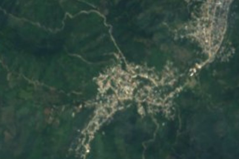



Drive times by road from OpenStreetMap, without traffic. Times marked ~ are estimated from the straight-line distance.
Location from OpenStreetMap. Written by Puebloteca.