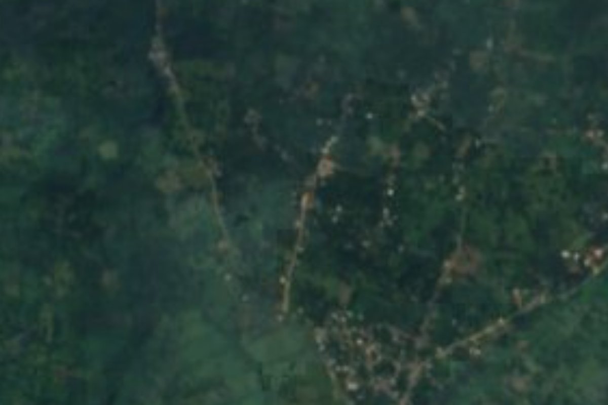
Village Huautla, Hidalgo Municipality of Huautla Hidalgo Huasteca
Huasteca community in Huautla municipality, under 2 km from the seat; it was called Huéhuetl until 2010.
From Tulancingo: about 2 h 5 min by road (~140 km) How to get there ↓
Near here
See everything nearby ↓



Plan your visit to Ahuehuetl
Where to stay near Ahuehuetl
Compare hotels, posadas and guest houses in Ahuehuetl.
Tours to Ahuehuetl
Day trips and guided outings from Metztitlán often include Ahuehuetl; with a local guide you can get there without a car.
 Tours from Xilitla
Surrealist Garden of Edward James, Castle of Health and Xilitla Nativity
★ 4.3 (10) · From US$100
How to get to Ahuehuetl
- From Tulancingo: about 2 h 5 min by road (~140 km)
- Nearest airport: Mexico City (Felipe Ángeles) (NLU), 2 h 18 min by car to Metztitlán
Links open a partner site. We may earn a commission if you book, at no cost to you.
Tours from Xilitla, near Ahuehuetl


Tours, prices and ratings from Viator, checked weekly. We may earn a commission if you book.
About Ahuehuetl
Until 2010 the village was known as Huéhuetl; that year it was officially renamed Ahuehuetl. It sits at about 463 metres in the Carso Huasteco ranges, only 1.9 km due north of Huautla, the municipal seat. Its waters lie on the border between the Calabozo and Los Hules sub-basins, within the Moctezuma basin.
The climate is warm and humid, with rain in every month and an annual mean around 21 °C. In 2020 INEGI counted 524 residents (277 women and 247 men) in 207 homes and rates the locality's marginalisation as high. Nearly seven in ten homes have a mobile phone; internet reaches one in twenty.
Low hills rise around it: Cerro Teotenáhuatl (420 m) about 3 km north, Cerro Tepeyacapa (445 m) and the Tlaixco mesa (445 m). Huautla municipality, to which it belongs, has 68 localities, and close to seven in ten of its 20,673 inhabitants speak an indigenous language, chiefly Huasteca Nahuatl. Its name is explained as "place of trees" or "place of eagles", oak and cedar are among its trees, and the Beltrán, San Gregorio and Pantepec rivers run through it.
How to get to Ahuehuetl
Ahuehuetl lies 1.9 km north of Huautla, so the practical approach is to reach the seat first and walk or take local transport from there. Huautla borders Huejutla de Reyes to the north and west, and Huejutla is the end of federal highway 105, which covers 216 km in Hidalgo from Pachuca. Travellers leaving the capital can take Futura at Terminal Norte, which has a night run to Huejutla.
From Huejutla to Huautla and on to Ahuehuetl the trip continues on local roads; the straight-line distance from Poza Rica is about 104 km (approx. 2 hours) and from Metztitlán about 72 km (approx. 85 minutes). The nearest restaurants and bars are in Huautla, roughly 1.5 to 1.8 km away.
Directions to Ahuehuetl on Google Maps
Distances are in a straight line; the road is usually longer.
Links open a partner site. We may earn a commission if you book, at no cost to you.
From the nearest cities to Ahuehuetl
- Tulancingo · about 140 km by road, ~2 h 5 min
- Pachuca · about 150 km by road, ~2 h 10 min
- Tuxpan · 125 km by road, 2 h 20 min
Drive times by road from OpenStreetMap, without traffic or stops. Times marked ~ are estimated from the straight-line distance.
Visiting Ahuehuetl: what to see and do
Huautla, the municipal seat, 1.9 km to the south
Cerro Teotenáhuatl (420 m), about 3 km north
Cerro Tepeyacapa and the Tlaixco mesa, both 445 m
The forest and ravines of the Huautla Huasteca
Plan your trip
Places to stay in Ahuehuetl
Compare hotels, posadas, and rentals in and around Ahuehuetl.
Tours & activities
Day trips and guided outings from Metztitlán often include Ahuehuetl; with a local guide you can get there without a car.
Rental cars
Pick up a car at NLU (Mexico City (Felipe Ángeles)): about 2 h 18 min by road to Metztitlán, then 72 km more to Ahuehuetl, on your own schedule.
Flights
The nearest airport with scheduled flights is Mexico City (Felipe Ángeles) (NLU), about 2 h 18 min by road from Metztitlán, the base for Ahuehuetl.
Mobile data
Signal can drop away from Metztitlán: download a map of the way to Ahuehuetl before you set out, or carry an eSIM with data.
Links open a partner site. We may earn a commission if you book, at no cost to you.
When to go to Ahuehuetl mild
Ahuehuetl shares the climate of Metztitlán, 72 km away. The best months to visit are January, February, March, and December.
See the month-by-month climate of Metztitlán
Weather in Ahuehuetl now and the next 7 days
Live forecast from Open-Meteo. Chance of rain is the day's highest.
The closest Pueblo Mágico: Metztitlán

Metztitlán is the Pueblo Mágico closest to Ahuehuetl, with places to stay, food, and more to see.
Closest to Ahuehuetl
-
Huautla · Village · 2 km away
-
Tamoyón I · Village · 5 km away
-
Atlapexco · Village · 7 km away
-
Huazalinguillo · Village · 8 km away
-
Tzacuala · Village · 9 km away
-
Pahactla · Village · 11 km away
-
Zacatipa · Village · 11 km away
-
Chicontepec · Town · 14 km away


Near Ahuehuetl







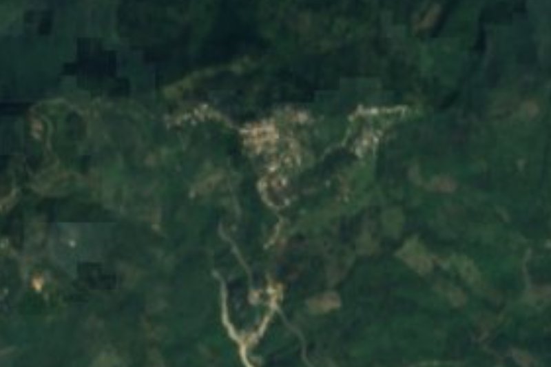
Drive times by road from OpenStreetMap, without traffic. Times marked ~ are estimated from the straight-line distance.
Location from OpenStreetMap. Written by Puebloteca.