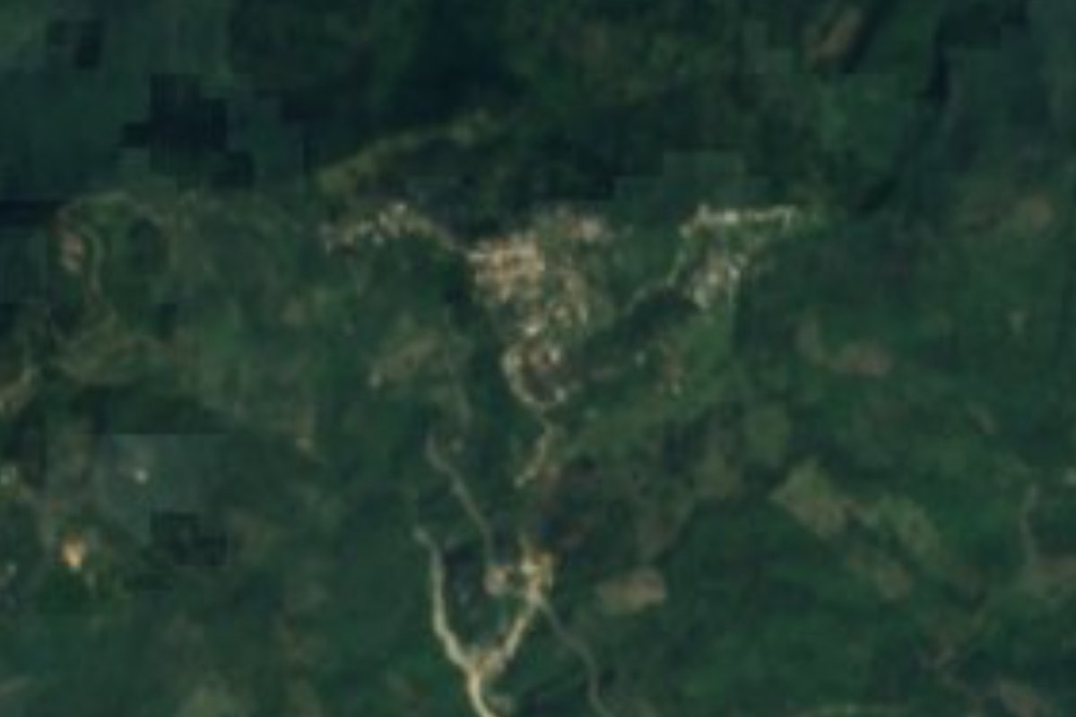
Village Calnali, Hidalgo
Huasteca community in Calnali municipality at 765 m, about 13 km east of the seat; its Nahuatl name translates as "snake arrow".
From Huauchinango: about 1 h 45 min by road (~120 km) How to get there ↓
Near here
See everything nearby ↓

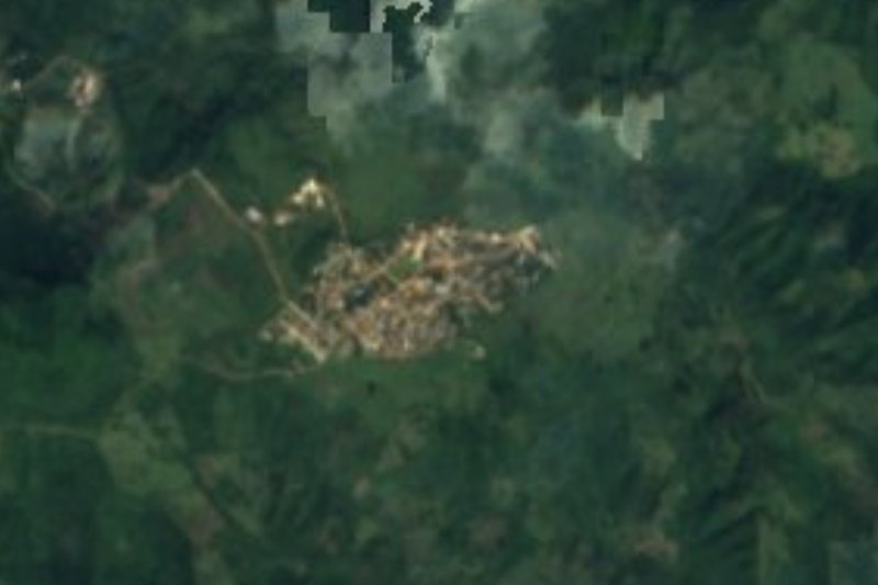


Plan your visit to Coamitla
Where to stay near Coamitla
Compare hotels, posadas and guest houses in Coamitla.
Tours to Coamitla
Day trips and guided outings from Metztitlán often include Coamitla; with a local guide you can get there without a car.
 Tours from Xilitla
Surrealist Garden of Edward James, Castle of Health and Xilitla Nativity
★ 4.3 (10) · From US$100
How to get to Coamitla
- From Huauchinango: about 1 h 45 min by road (~120 km)
- Nearest airport: Mexico City (Felipe Ángeles) (NLU), 2 h 18 min by car to Metztitlán
Links open a partner site. We may earn a commission if you book, at no cost to you.
Tours from Xilitla, near Coamitla


Tours, prices and ratings from Viator, checked weekly. We may earn a commission if you book.
About Coamitla
Coamitla's name breaks down in Nahuatl into coatl, "snake", and mitl, "arrow": roughly "snake arrow". The community stands at 765 metres in the Carso Huasteco sierra, and its water passes to the Los Hules river sub-basin. Wikipedia places it about 13.4 km east of Calnali, the municipal seat; as the crow flies the distance is shorter, around 9 km.
In 2020 it recorded 644 residents, 327 women and 317 men, in 172 homes, against 704 in 2010. INEGI rates the locality's marginalisation as high and its social lag as medium; two in three homes have a mobile phone and very few have internet. It rains all year in a warm, humid climate averaging near 20 °C.
In Calnali municipality the economy includes forestry and cane milling, and its flora features oak, ocote pine, red cedar, rubber tree and chicozapote, with orange and lime trees among the fruit. Nearly three in ten people in the municipality speak an indigenous language. Near Coamitla, Cerro El Colorado (861 m) is about 2 km west and Cerro Cuetlaxco (897 m) about 2.4 km east.
How to get to Coamitla
Calnali, the municipal seat, is about 13.4 km west of Coamitla according to Wikipedia (about 9 km in a straight line). Calnali in turn is some 28 km from Molango, a point on federal highway 105 toward the Huasteca. For reference, Pachuca is about 91 km away in a straight line (approx. 105 minutes) and Metztitlán about 45 km (approx. 50 minutes).
The nearest restaurants in INEGI's directory are in Calnali, 8.8 km away. The final stretch to Coamitla is on a local road. Futura links Terminal Norte with Huejutla, and from Huejutla or Molango you go on by regional transport.
Directions to Coamitla on Google Maps
Distances are in a straight line; the road is usually longer.
Links open a partner site. We may earn a commission if you book, at no cost to you.
From the nearest cities to Coamitla
- Huauchinango · about 120 km by road, ~1 h 45 min
- Poza Rica · about 150 km by road, ~2 h 15 min
- Pachuca · 174 km by road, 2 h 45 min
Drive times by road from OpenStreetMap, without traffic or stops. Times marked ~ are estimated from the straight-line distance.
Visiting Coamitla: what to see and do
Cerro El Colorado (861 m), about 2 km west
Cerro Cuetlaxco (897 m), about 2.4 km east
Techichico and El Plan, neighbouring communities to the north
Oak, ocote pine and red cedar woodland of Calnali municipality
Calnali, the municipal seat, about 9 km straight-line
Plan your trip
Places to stay in Coamitla
Compare hotels, posadas, and rentals in and around Coamitla.
Tours & activities
Day trips and guided outings from Metztitlán often include Coamitla; with a local guide you can get there without a car.
Rental cars
Pick up a car at NLU (Mexico City (Felipe Ángeles)): about 2 h 18 min by road to Metztitlán, then 45 km more to Coamitla, on your own schedule.
Flights
The nearest airport with scheduled flights is Mexico City (Felipe Ángeles) (NLU), about 2 h 18 min by road from Metztitlán, the base for Coamitla.
Mobile data
Signal can drop away from Metztitlán: download a map of the way to Coamitla before you set out, or carry an eSIM with data.
Links open a partner site. We may earn a commission if you book, at no cost to you.
When to go to Coamitla mild
Coamitla shares the climate of Metztitlán, 45 km away. The best months to visit are January, February, March, and December.
See the month-by-month climate of Metztitlán
Weather in Coamitla now and the next 7 days
Live forecast from Open-Meteo. Chance of rain is the day's highest.
The closest Pueblo Mágico: Metztitlán

Metztitlán is the Pueblo Mágico closest to Coamitla, with places to stay, food, and more to see.
Also close to
- Xilitla · San Luis Potosí · 74 km away
- Huasca de Ocampo · Hidalgo · 78 km away
- Pahuatlán · Puebla · 78 km away
Closest to Coamitla
-
Calnali · Village · 9 km away
-
Pepeyocatitla · Village · 11 km away
-
San Francisco · Village · 13 km away
-
Yahualica · Village · 13 km away
-
Tenamaxtepec · Village · 14 km away
-
Chahuatlán · Village · 17 km away
-
Pahactla · Village · 17 km away
-
Atlalco · Village · 18 km away

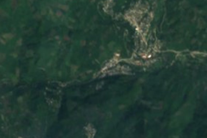
Near Coamitla









Drive times by road from OpenStreetMap, without traffic. Times marked ~ are estimated from the straight-line distance.
Location from OpenStreetMap. Written by Puebloteca.