Town Tlanchinol, Hidalgo Municipality of Tlanchinol
A Sierra Alta town on federal highway 105 at 1,541 m, with a 16th-century Augustinian convent, year-round rain and the road to Cueva del Tigre.
From Huauchinango: about 2 h 10 min by road (~145 km) How to get there ↓
Near here
See everything nearby ↓


Plan your visit to Tlanchinol
Where to stay near Tlanchinol
Compare hotels, posadas and guest houses in Tlanchinol.
Tours to Tlanchinol
Day trips around Metztitlán sometimes stop in Tlanchinol; a tour is the easy way to see it without a car.
How to get to Tlanchinol
- From Huauchinango: about 2 h 10 min by road (~145 km)
- Nearest airport: Mexico City (Felipe Ángeles) (NLU), 2 h 18 min by car to Metztitlán
Links open a partner site. We may earn a commission if you book, at no cost to you.
About Tlanchinol
Tlanchinol sits at 1,541 metres in the Sierra Madre Oriental, where the Sierra Alta starts to drop towards the Huasteca. Rain falls all year, averaging 2,601 mm with the heavy season from May to September, and a mean annual temperature of 18.9 °C. The name comes from Nahuatl and is read as "on the burnt house" or "on what was burned"; Wikipedia also gives an older form, Tlanchinaltic. In 2020 it had 6,117 residents, almost half the municipality, and about one in ten speaks an indigenous language.
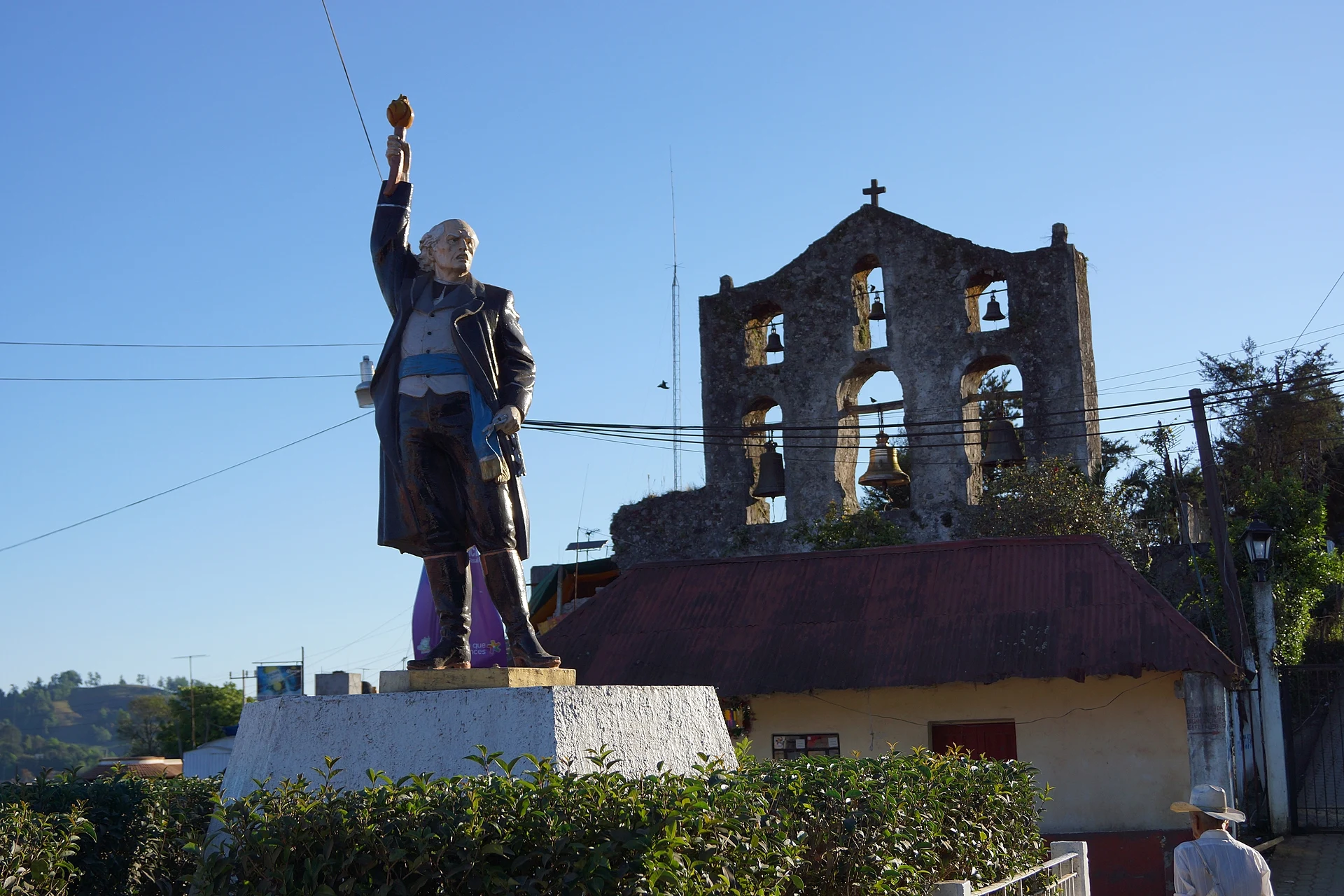
The building that weighs most in local history is the former convent of San Agustín, put up by the Augustinians in the 16th century. It keeps a bell gable about 10 metres tall, hung with bells dated 1571. In town, the statue of Hidalgo is one of the most widely used landmarks.
The other reason to come this far lies back in the hills: inside the municipality, near the San Luis Potosí border, opens the Cueva del Tigre, a little-explored cave with difficult access. México Desconocido warns that going down needs trained staff, equipment and rappelling skills, and that recent expeditions found animal fossils still unstudied. In late October and early November the town celebrates Xantolo, with catrina and catrín contests, comparsa parades, cuadrilla dances and xantolero arches and altars.
How to get to Tlanchinol
Tlanchinol lies on federal highway 105, which leaves Pachuca and runs through Mineral del Monte, Atotonilco el Grande, Zacualtipán, Molango and Lolotla before reaching it, then continues to Huejutla. From Pachuca it is about 160 to 170 km (México Desconocido gives 168 km and around three hours by car); the road winds through the sierra, so leave early to use the daylight. Huejutla de Reyes is about 53 km further on, and San Felipe Orizatlán about 41 km by road, roughly 50 minutes.
There is no direct bus from Pachuca, according to Rome2rio: you go first to the Terminal Norte in Mexico City. From there to Tlanchinol run Futura (every three hours, about 5 h 40 min) and Autobuses Conexión (one departure a day, about 4 h). From Pachuca to the Terminal Norte, ADO and Futura leave every 20 minutes, about 1 h 45 min. Check departures before you travel, as schedules change. Metztitlán, the nearest Pueblo Mágico, is about 46 km away in a straight line.
Directions to Tlanchinol on Google Maps
Distances are in a straight line; the road is usually longer.
Links open a partner site. We may earn a commission if you book, at no cost to you.
From the nearest cities to Tlanchinol
- Huauchinango · about 145 km by road, ~2 h 10 min
- Pachuca · 159 km by road, 2 h 30 min
- Tuxpan · about 170 km by road, ~2 h 30 min
Drive times by road from OpenStreetMap, without traffic or stops. Times marked ~ are estimated from the straight-line distance.
Before you go to Tlanchinol: hours, prices and tips
- Best season
- Xantolo (Day of the Dead) brings catrina and catrín contests, comparsa parades, a cuadrilla contest and xantolero arch and altar contests; the main days across the region run from 30 October to 2 November. Milenio / Criterio Hidalgo · checked Oct 2026
- Guide or tour
- Going down the Cueva del Tigre calls for trained staff and rappelling equipment. Tours: Viator GetYourGuide México Desconocido · checked Oct 2026
Hours and prices change, especially around holidays. Each fact links to where we checked it.
Visiting Tlanchinol: what to see and do
The 16th-century former convent of San Agustín and its 10-metre bell gable with bells from 1571
The statue of Hidalgo, a town landmark
The damp sierra, with rain all year
The Cueva del Tigre in the municipality (only with trained staff and rappelling gear)
Xantolo in late October and early November
Plan your trip
Places to stay in Tlanchinol
Compare hotels, posadas, and rentals in and around Tlanchinol.
Tours & activities
Day trips around Metztitlán sometimes stop in Tlanchinol; a tour is the easy way to see it without a car.
Rental cars
Pick up a car at NLU (Mexico City (Felipe Ángeles)): about 2 h 18 min by road to Metztitlán, then 46 km more to Tlanchinol, on your own schedule.
Flights
The nearest airport with scheduled flights is Mexico City (Felipe Ángeles) (NLU), about 2 h 18 min by road from Metztitlán, the base for Tlanchinol.
Mobile data
Signal can drop away from Metztitlán: download a map of the way to Tlanchinol before you set out, or carry an eSIM with data.
Links open a partner site. We may earn a commission if you book, at no cost to you.
When to go to Tlanchinol mild
Tlanchinol shares the climate of Metztitlán, 46 km away. The best months to visit are January, February, March, and December.
See the month-by-month climate of Metztitlán
Weather in Tlanchinol now and the next 7 days
Live forecast from Open-Meteo. Chance of rain is the day's highest.
The closest Pueblo Mágico: Metztitlán

Metztitlán is the Pueblo Mágico closest to Tlanchinol, with places to stay, food, and more to see.
Also close to
Closest to Tlanchinol

Near Tlanchinol




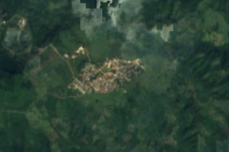




Drive times by road from OpenStreetMap, without traffic. Times marked ~ are estimated from the straight-line distance.
Location from OpenStreetMap. Written by Puebloteca.