Village Tepehuacán de Guerrero, Hidalgo Municipality of Tepehuacán de Guerrero
Municipal seat in Hidalgo's Sierra Alta, at 899 m, with a Santiago parish church and a Sunday market.
From Huauchinango: about 2 h 25 min by road (~165 km) How to get there ↓
Near here
See everything nearby ↓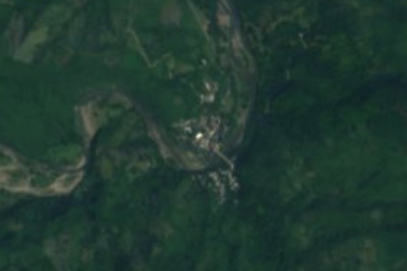
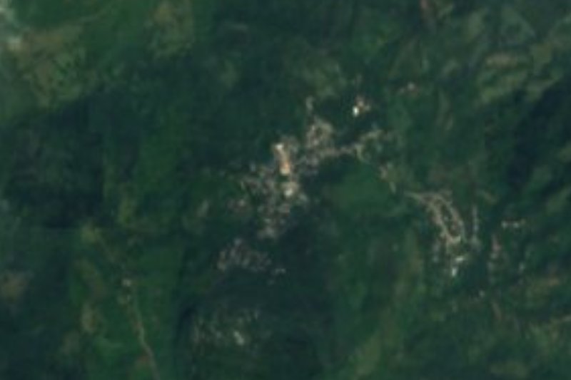
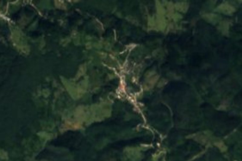

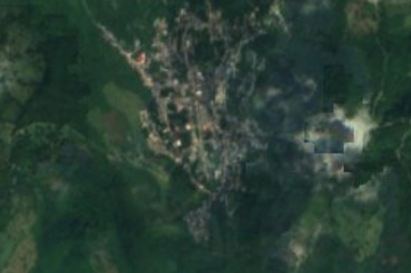
Plan your visit to Tepehuacán de Guerrero
Where to stay near Tepehuacán de Guerrero
Compare hotels, posadas and guest houses in Tepehuacán de Guerrero.
Tours to Tepehuacán de Guerrero
Day trips and guided outings from Xilitla often include Tepehuacán de Guerrero; with a local guide you can get there without a car.
 Tours from Xilitla
Surrealist Garden of Edward James, Castle of Health and Xilitla Nativity
★ 4.3 (10) · From US$100
How to get to Tepehuacán de Guerrero
- From Huauchinango: about 2 h 25 min by road (~165 km)
- Nearest airport: Querétaro (QRO), 3 h 27 min by car to Xilitla
Links open a partner site. We may earn a commission if you book, at no cost to you.
Tours from Xilitla, near Tepehuacán de Guerrero


Tours, prices and ratings from Viator, checked weekly. We may earn a commission if you book.
About Tepehuacán de Guerrero
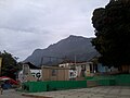
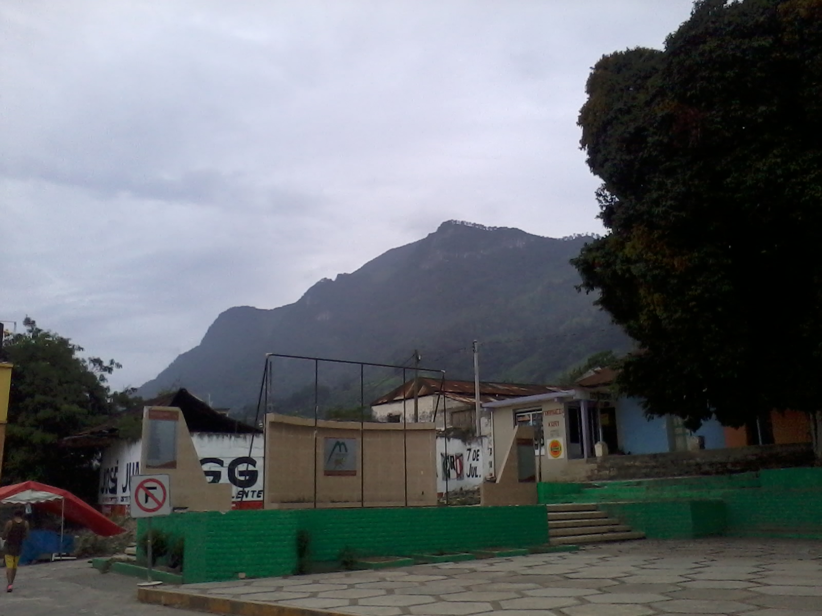
Tepehuacán de Guerrero sits in the Sierra Alta, right where Hidalgo's Huasteca begins, at 899 metres above sea level and inside the Carso Huasteco: steep limestone sierra cut by ravines, with summits that top out around 1,600 metres. In 2020 the town counted 1,373 residents, about 4.4% of a municipality of roughly 31,000, more than a third of whom speak an indigenous language, mostly Huasteca Nahuatl.
The name has two readings. The commoner one takes it from Nahuatl tepetl, "hill", and renders it "mountainous place"; the other, of Chichimeca root, ties it to the fierce ant, after the anthills that stood on the site. "de Guerrero" honours Vicente Guerrero. According to EcuRed the land belonged to the lordship of Metztitlán and Augustinian friars handled the evangelisation; they are credited with the parish church of Santiago, which keeps its original walls, tower and main altar, plus an atrium and a round-arched doorway.
The climate is wet: about 24 °C on average and over 2,100 mm of rain a year, with downpours in June and July, a break in August, rain and fog again in September and October, and cold in December and January. Maize, beans, chile and sugar cane are grown around town, with oranges gaining ground; on the table you meet zacahuil, Huasteca-style enchiladas, coffee and piloncillo palanquetas. Market day is Sunday, when people come down from the surrounding communities.
How to get to Tepehuacán de Guerrero
Tepehuacán lies in northern Hidalgo, in the sierra where the Sierra Alta gives way to the Huasteca, and is reached by road from the México-Tampico corridor: the municipality has about 12 km of federal and 32 km of state highway, and roads from the town lead to Molango, Lolotla, Tlanchinol, Tlahuiltepa, La Misión and Chapulhuacán, and on to Tamazunchale in San Luis Potosí (EcuRed). In a straight line Pachuca is about 100 km away and Xilitla (San Luis Potosí) about 44 km, but through the mountains the real trip is much longer and slower: the planner Rome2rio gives 121 km by road from Molango to Pachuca, and the stretch from Molango to Tepehuacán comes on top of that. No bus or colectivo timetable is published for the town; the practical way is to reach Molango or Tlanchinol, on the Pachuca-Huejutla route, and ask there about local transport. Leave plenty of margin, especially in the rainy season, when the sierra is foggy.
Directions to Tepehuacán de Guerrero on Google Maps
Distances are in a straight line; the road is usually longer.
Links open a partner site. We may earn a commission if you book, at no cost to you.
From the nearest cities to Tepehuacán de Guerrero
- Huauchinango · about 165 km by road, ~2 h 25 min
- San Juan del Río · about 180 km by road, ~2 h 40 min
- Pachuca · 197 km by road, 3 h 15 min
Drive times by road from OpenStreetMap, without traffic or stops. Times marked ~ are estimated from the straight-line distance.
Before you go to Tepehuacán de Guerrero: hours, prices and tips
- Best season
- The town's tianguis is held on Sundays. Rain peaks in June and July and again in September and October; December and January are cold. EcuRed; Wikipedia · checked Oct 2026
- What to bring
- A rain jacket and shoes with grip: average rainfall is about 2,120 mm a year and the terrain is mountainous. Wikipedia (es) · checked Oct 2026
Hours and prices change, especially around holidays. Each fact links to where we checked it.
Visiting Tepehuacán de Guerrero: what to see and do
The parish church of Santiago, with its tower, atrium and round-arched doorway.
The old bells beside the parish church.
The Sunday tianguis in the town centre.
Mountain and ravine views from the federal highway that climbs toward colonia Guadalupe Otongo.
Zacahuil, coffee and piloncillo palanquetas at the local stalls.
Plan your trip
Places to stay in Tepehuacán de Guerrero
Compare hotels, posadas, and rentals in and around Tepehuacán de Guerrero.
Tours & activities
Day trips and guided outings from Xilitla often include Tepehuacán de Guerrero; with a local guide you can get there without a car.
Rental cars
Pick up a car at QRO (Querétaro): about 3 h 27 min by road to Xilitla, then 44 km more to Tepehuacán de Guerrero, on your own schedule.
Flights
The nearest airport with scheduled flights is Querétaro (QRO), about 3 h 27 min by road from Xilitla, the base for Tepehuacán de Guerrero.
Mobile data
Signal can drop away from Xilitla: download a map of the way to Tepehuacán de Guerrero before you set out, or carry an eSIM with data.
Links open a partner site. We may earn a commission if you book, at no cost to you.
When to go to Tepehuacán de Guerrero mild
Tepehuacán de Guerrero shares the climate of Xilitla, 44 km away. The best months to visit are February, March, August, and November.
See the month-by-month climate of Xilitla
Weather in Tepehuacán de Guerrero now and the next 7 days
Live forecast from Open-Meteo. Chance of rain is the day's highest.
The closest Pueblo Mágico: Xilitla

Xilitla is the Pueblo Mágico closest to Tepehuacán de Guerrero, with places to stay, food, and more to see.
Also close to
- Metztitlán · Hidalgo · 49 km away
- Zimapán · Hidalgo · 64 km away
- Jalpan · Querétaro · 69 km away
- Aquismón · San Luis Potosí · 70 km away
- San Joaquín · Querétaro · 76 km away
Closest to Tepehuacán de Guerrero
-
Tamala · Village · 5 km away
-
Xilitla (Hidalgo) · Village · 7 km away
-
Huitepec · Village · 13 km away
-
Acapa · Village · 14 km away
-
Neblinas · Village · 14 km away
-
Chapulhuacán · Village · 17 km away
-
Tlanchinol · Town · 19 km away
-
Temango · Village · 20 km away

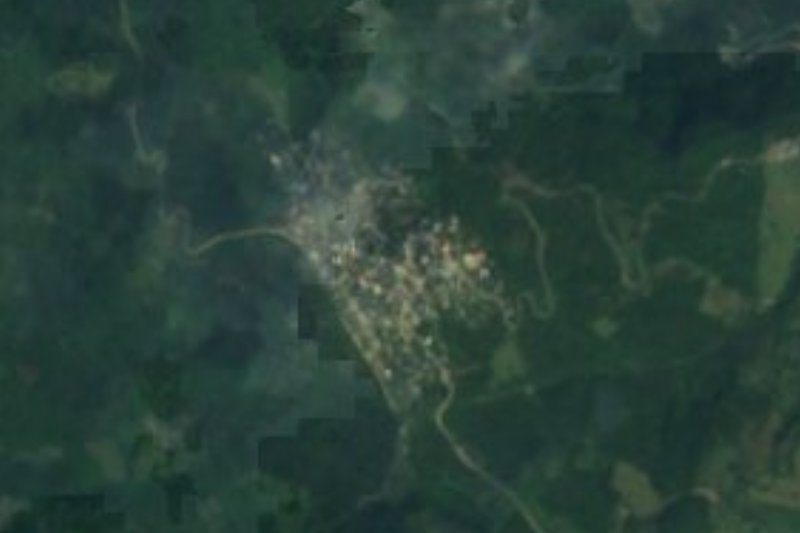
Near Tepehuacán de Guerrero


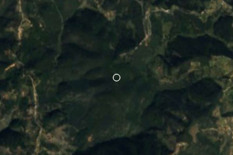


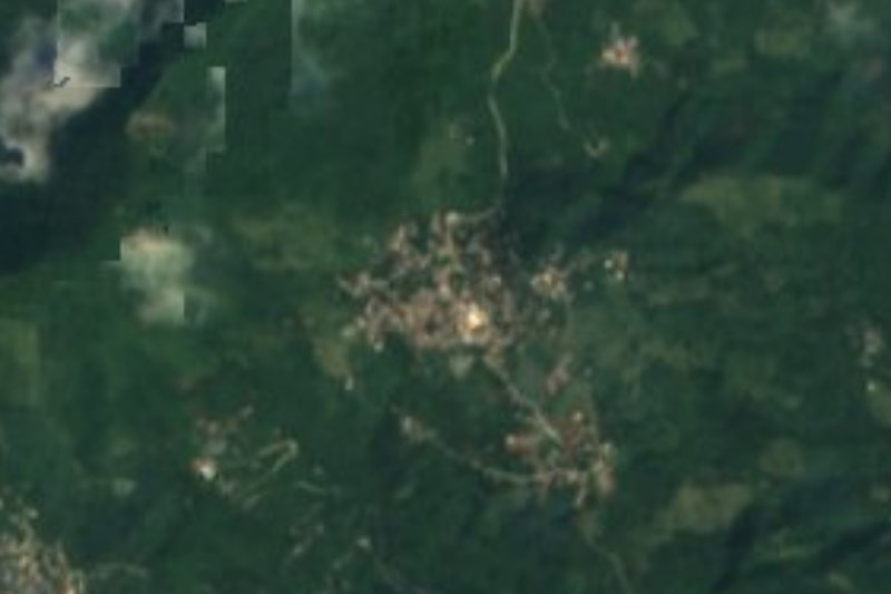


Drive times by road from OpenStreetMap, without traffic. Times marked ~ are estimated from the straight-line distance.
Location from OpenStreetMap. Written by Puebloteca.