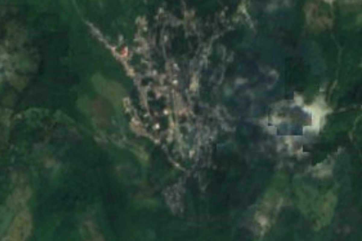
Village Chapulhuacán, Hidalgo
Seat of a Sierra Gorda municipality in Hidalgo, misty most of the year, with the Amajac river and a Sunday market.
From Ciudad Valles: 2 h 15 min by car (138 km by road) How to get there ↓
Near here
See everything nearby ↓


Plan your visit to Chapulhuacán
Where to stay near Chapulhuacán
Compare hotels, posadas and guest houses in Chapulhuacán.
Tours to Chapulhuacán
Day trips and guided outings from Xilitla often include Chapulhuacán; with a local guide you can get there without a car.
 Tours from Xilitla
Surrealist Garden of Edward James, Castle of Health and Xilitla Nativity
★ 4.3 (10) · From US$100
How to get to Chapulhuacán
- From Ciudad Valles: about 2 h 15 min by road (~138 km)
- Nearest airport: Querétaro (QRO), 3 h 27 min by car to Xilitla
Links open a partner site. We may earn a commission if you book, at no cost to you.
Tours from Xilitla, near Chapulhuacán


Tours, prices and ratings from Viator, checked weekly. We may earn a commission if you book.
About Chapulhuacán
Chapulhuacán, 'place of those who own grasshoppers' in Nahuatl, is the seat of a municipality in northern Hidalgo that borders San Luis Potosí. It stands between 920 and 960 metres above sea level, depending on the source, on Carso Huasteco sierra terrain. In 2020 it had 4,054 inhabitants, and commerce and farming are its livelihood; the lower parts of the municipality grow bananas, citrus, maize and mountain coffee.
The climate is warm and very wet: a 24 °C annual average, more than 2,200 mm of rain, fog much of the year and, now and then, sharp winter cold. The Amajac river crosses the municipality and gives anglers catfish, mojarra and crayfish. The plaza holds a statue of Miguel Hidalgo, and the parish church of San Pedro keeps its colonial structure. Archaeological remains sit on Cerro de Los Jarros.
Recent history was shaped by the Revolution: Villista troops burned the town in April 1914 and in 1921 Generals Isaac Ángeles and José Casas Castillo were shot here. Today Sunday is market day in the plaza. The town fiesta falls on 29 June, with fairground rides, brass-band music and fireworks, and Independence celebrations and the December festivities follow. At the table there is lamb barbacoa, zacahuil, crayfish, enchiladas with cecina and home-made cheese; among crafts, fine-wood furniture and vine basketry.
How to get to Chapulhuacán
Drive from Ciudad Valles: 2 h 15 min, 138 km
Chapulhuacán lies in Hidalgo's far north, in the Sierra Gorda, against the San Luis Potosí border. The usual way in is therefore from the Huasteca Potosina: Tamazunchale sits on federal highway 85 (Wikivoyage), about 330 km from Mexico City, and the Tamazunchale-Chapulhuacán road, which carries that name in the town's street addresses, starts there. Buses reach Tamazunchale from Mexico City's Norte terminal. Within Hidalgo, long-distance buses depart from Pachuca's central station. Xilitla is about 27 km away in a straight line and Ciudad Valles about 94 km (straight-line estimates; the mountain road is longer, roughly 30 minutes to Xilitla and nearly two hours to Valles).
Directions to Chapulhuacán on Google Maps
Distances are in a straight line; the road is usually longer.
Links open a partner site. We may earn a commission if you book, at no cost to you.
From the nearest cities to Chapulhuacán
- Ciudad Valles · 138 km by road, 2 h 15 min
- Tulancingo · about 170 km by road, ~2 h 30 min
- Huauchinango · about 185 km by road, ~2 h 40 min
Drive times by road from OpenStreetMap, without traffic or stops. Times marked ~ are estimated from the straight-line distance.
Before you go to Chapulhuacán: hours, prices and tips
- Hours
- Sunday market in the main plaza. Wikipedia (es): Municipio de Chapulhuacán · checked Oct 2026
- Best season
- Town fiesta on 29 June; All Saints celebrations, Independence Day on 15-16 September and the December festivities. INAFED, Enciclopedia de los Municipios: Chapulhuacán · checked Oct 2026
Hours and prices change, especially around holidays. Each fact links to where we checked it.
Visiting Chapulhuacán: what to see and do
Parish church of San Pedro, from the colonial era
Plaza with a statue of Miguel Hidalgo and a Sunday market
Archaeological remains on Cerro de Los Jarros
Amajac river, for catfish, mojarra and crayfish
Town fiesta on 29 June
Plan your trip
Places to stay in Chapulhuacán
Compare hotels, posadas, and rentals in and around Chapulhuacán.
Tours & activities
Day trips and guided outings from Xilitla often include Chapulhuacán; with a local guide you can get there without a car.
Rental cars
Pick up a car at QRO (Querétaro): about 3 h 27 min by road to Xilitla, then 27 km more to Chapulhuacán, on your own schedule.
Flights
The nearest airport with scheduled flights is Querétaro (QRO), about 3 h 27 min by road from Xilitla, the base for Chapulhuacán.
Mobile data
Signal can drop away from Xilitla: download a map of the way to Chapulhuacán before you set out, or carry an eSIM with data.
Links open a partner site. We may earn a commission if you book, at no cost to you.
When to go to Chapulhuacán mild
Chapulhuacán shares the climate of Xilitla, 27 km away. The best months to visit are February, March, August, and November.
See the month-by-month climate of Xilitla
Weather in Chapulhuacán now and the next 7 days
Live forecast from Open-Meteo. Chance of rain is the day's highest.
The closest Pueblo Mágico: Xilitla

Xilitla is the Pueblo Mágico closest to Chapulhuacán, with places to stay, food, and more to see.
Also close to
- Aquismón · San Luis Potosí · 53 km away
- Jalpan · Querétaro · 60 km away
- Metztitlán · Hidalgo · 65 km away
- Zimapán · Hidalgo · 68 km away
- San Joaquín · Querétaro · 74 km away
Closest to Chapulhuacán
-
Neblinas · Village · 5 km away
-
Gargantilla · Village · 14 km away
-
Xilitla (Hidalgo) · Village · 14 km away
-
Tamazunchale · Town · 17 km away
-
Tepehuacán de Guerrero · Village · 17 km away
-
Tamala · Village · 21 km away
-
Huitepec · Village · 22 km away
-
Temango · Village · 22 km away
Near Chapulhuacán

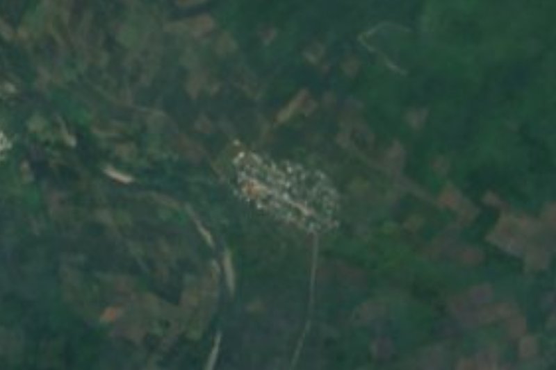


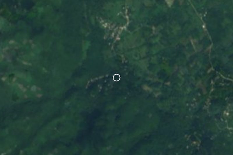
Drive times by road from OpenStreetMap, without traffic. Times marked ~ are estimated from the straight-line distance.
Location from OpenStreetMap. Written by Puebloteca.