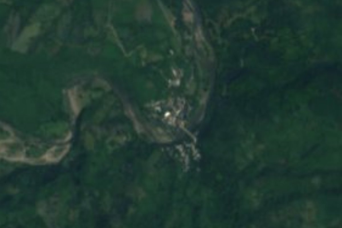
Village Tepehuacán de Guerrero, Hidalgo Municipality of Tepehuacán de Guerrero
Sierra Alta locality in Tepehuacán de Guerrero at 337 m, about 5 km from the seat; 783 residents in 2020, nearly four times the 1940 count.
From Huauchinango: about 2 h 20 min by road (~155 km) How to get there ↓
Near here
See everything nearby ↓


Plan your visit to Tamala
Where to stay near Tamala
Compare hotels, posadas and guest houses in Tamala.
Tours to Tamala
Day trips and guided outings from Metztitlán often include Tamala; with a local guide you can get there without a car.
 Tours from Xilitla
Surrealist Garden of Edward James, Castle of Health and Xilitla Nativity
★ 4.3 (10) · From US$100
How to get to Tamala
- From Huauchinango: about 2 h 20 min by road (~155 km)
- Nearest airport: Mexico City (Felipe Ángeles) (NLU), 2 h 18 min by car to Metztitlán
Links open a partner site. We may earn a commission if you book, at no cost to you.
Tours from Xilitla, near Tamala


Tours, prices and ratings from Viator, checked weekly. We may earn a commission if you book.
About Tamala
Tamala belongs to the Sierra Alta of Hidalgo, at 337 metres, in the heart of the Sierra Madre Oriental's Huasteca Karst. Rain falls in every season under a semi-warm humid climate, and runoff heads for the Amajac, a tributary of the Moctezuma. It lies in the municipality of Tepehuacán de Guerrero, whose seat is about 5 km off as the crow flies, going by Wikipedia's coordinates.
Its population draws a U-shaped curve. It had 414 inhabitants in 1900 and 496 in 1910, shrank to 194 in 1940, the low point, and has grown without pause since: 422 in 1980, 601 in 2000, 709 in 2010 and 783 in 2020, made up of 373 men and 410 women. That is now 2.51% of the municipality.
To understand the setting, look at the seat. INEGI records that its Catholic church went up in 1537 from hill stone and lime carried in on people's backs, built by Augustinian friars, and that its walls, tower and high altar are still original; the municipality also cites the parish of Santiago, from the mid-16th century. At the table, the compendium mentions the Huasteca plate with enchiladas, zacahuil, coffee, sugar and piloncillo palanquetas and cane drinks, and it names the Tepehuacán, Santa Cecilia and Zacualtipanito wind bands.
How to get to Tamala
Tamala is about 5 km in a straight line from Tepehuacán de Guerrero, about 15 km from Tlanchinol, about 28 km from Orizatlán and about 45 km from Metztitlán (approximate figures from Wikipedia's coordinates; by road they will be longer, as this is mountain country). The list for Federal Highway 105 includes Tlanchinol, Acatipa and Huejutla among its Hidalgo towns, so Tlanchinol is the nearest point on that highway. The sensible plan is to reach Tepehuacán de Guerrero and ask there about the way to Tamala.
Directions to Tamala on Google Maps
Distances are in a straight line; the road is usually longer.
Links open a partner site. We may earn a commission if you book, at no cost to you.
From the nearest cities to Tamala
- Huauchinango · about 155 km by road, ~2 h 20 min
- San Juan del Río · about 180 km by road, ~2 h 40 min
- Pachuca · 183 km by road, 3 h
Drive times by road from OpenStreetMap, without traffic or stops. Times marked ~ are estimated from the straight-line distance.
Visiting Tamala: what to see and do
The Augustinian church of 1537 in Tepehuacán de Guerrero.
The mid-16th-century parish of Santiago in the municipality.
The hill landscape at 337 m, humid all year.
Zacahuil and the Huasteca plate in local cooking.
The region's wind bands.
Plan your trip
Places to stay in Tamala
Compare hotels, posadas, and rentals in and around Tamala.
Tours & activities
Day trips and guided outings from Metztitlán often include Tamala; with a local guide you can get there without a car.
Rental cars
Pick up a car at NLU (Mexico City (Felipe Ángeles)): about 2 h 18 min by road to Metztitlán, then 46 km more to Tamala, on your own schedule.
Flights
The nearest airport with scheduled flights is Mexico City (Felipe Ángeles) (NLU), about 2 h 18 min by road from Metztitlán, the base for Tamala.
Mobile data
Signal can drop away from Metztitlán: download a map of the way to Tamala before you set out, or carry an eSIM with data.
Links open a partner site. We may earn a commission if you book, at no cost to you.
When to go to Tamala mild
Tamala shares the climate of Metztitlán, 46 km away. The best months to visit are January, February, March, and December.
See the month-by-month climate of Metztitlán
Weather in Tamala now and the next 7 days
Live forecast from Open-Meteo. Chance of rain is the day's highest.
The closest Pueblo Mágico: Metztitlán

Metztitlán is the Pueblo Mágico closest to Tamala, with places to stay, food, and more to see.
Also close to
- Xilitla · San Luis Potosí · 47 km away
- Zimapán · Hidalgo · 67 km away
- Aquismón · San Luis Potosí · 73 km away
- Jalpan · Querétaro · 74 km away
- San Joaquín · Querétaro · 80 km away
Closest to Tamala
-
Tepehuacán de Guerrero · Village · 5 km away
-
Xilitla (Hidalgo) · Village · 8 km away
-
Huitepec · Village · 10 km away
-
Tlanchinol · Town · 14 km away
-
Acapa · Village · 15 km away
-
Neblinas · Village · 18 km away
-
Lolotla · Village · 19 km away
-
Temango · Village · 19 km away

Near Tamala






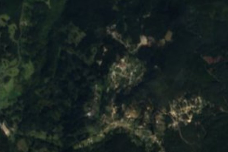
Drive times by road from OpenStreetMap, without traffic. Times marked ~ are estimated from the straight-line distance.
Location from OpenStreetMap. Written by Puebloteca.