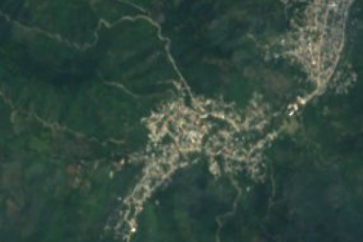
Village San Felipe Orizatlán, Hidalgo Municipality of San Felipe Orizatlán Hidalgo Huasteca
A Nahua locality of 4,137 people in San Felipe Orizatlán, at 217 m in the Huasteca; its mecos dance at carnival.
From Ciudad Valles: 2 h 10 min by car (128 km by road) How to get there ↓
Near here
See everything nearby ↓



Plan your visit to Ahuatitla
Where to stay near Ahuatitla
Compare hotels, posadas and guest houses in Ahuatitla.
Tours to Ahuatitla
Day trips and guided outings from Xilitla often include Ahuatitla; with a local guide you can get there without a car.
 Tours from Xilitla
Surrealist Garden of Edward James, Castle of Health and Xilitla Nativity
★ 4.3 (10) · From US$100
How to get to Ahuatitla
- From Ciudad Valles: about 2 h 10 min by road (~128 km)
- Nearest airport: Querétaro (QRO), 3 h 27 min by car to Xilitla
Links open a partner site. We may earn a commission if you book, at no cost to you.
Tours from Xilitla, near Ahuatitla


Tours, prices and ratings from Viator, checked weekly. We may earn a commission if you book.
About Ahuatitla
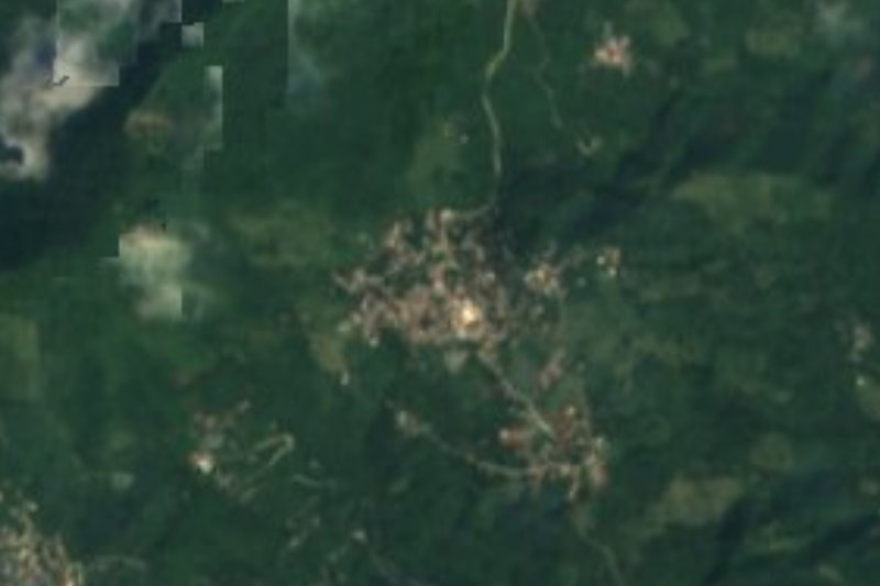
Ahuatitla is in Hidalgo's Huasteca, only 217 metres above sea level, in the municipality of San Felipe Orizatlán. The name comes from Nahuatl: ahua is oak and titla marks abundance, so it means among the oaks or abundance of oaks. The climate is semi-warm and humid with rain all year, and the hilly terrain belongs to the Carso Huasteco of the Sierra Madre Oriental; water runs to the San Pedro sub-basin of the Moctezuma basin.
In 2020 it had 4,137 residents (1,957 men and 2,180 women), 10.75% of the municipality's people, and INEGI classes it as urban. In the municipality more than half of people speak an Indigenous language, mostly Huasteca Nahuatl, and maize, beans, coffee and sugar cane are grown.
Ahuatitla takes part in carnival with its mecos. At San Felipe Orizatlán's 2024 carnival, the mayor presented them as an extraordinary group that takes the tradition back to its origin. That carnival included a walk through the market with wind music, the traditional face-painting in front of the municipal esplanade, zacahuileada, traditional games and a parade of comparsas.
How to get to Ahuatitla
Drive from Ciudad Valles: 2 h 10 min, 128 km
Ahuatitla is about 41 km from Xilitla, San Luis Potosí, in a straight line (roughly 45 minutes) and about 98 km from Ciudad Valles (roughly 2 hours). The gateway on the Hidalgo side is Huejutla de Reyes, which borders San Felipe Orizatlán, and the Huejutla-Orizatlán road is the one local news reports (with closures from landslides and power failures in 2022 and 2023). From Pachuca, the Terminal Central de Autobuses has departures to Huejutla; from there continue to Orizatlán and the village. The municipal seat is San Felipe Orizatlán. Ask in Huejutla or Orizatlán about transport to Ahuatitla and the state of the road, especially in the rainy season.
Directions to Ahuatitla on Google Maps
Distances are in a straight line; the road is usually longer.
Links open a partner site. We may earn a commission if you book, at no cost to you.
From the nearest cities to Ahuatitla
- Ciudad Valles · 128 km by road, 2 h 10 min
- Tulancingo · about 160 km by road, ~2 h 25 min
- Huauchinango · about 165 km by road, ~2 h 25 min
Drive times by road from OpenStreetMap, without traffic or stops. Times marked ~ are estimated from the straight-line distance.
Before you go to Ahuatitla: hours, prices and tips
- Best season
- In February 2024, the mecos of Ahuatitla performed at San Felipe Orizatlán's carnival. Milenio · checked Oct 2026
Hours and prices change, especially around holidays. Each fact links to where we checked it.
Visiting Ahuatitla: what to see and do
The mecos of Ahuatitla at San Felipe Orizatlán's carnival
The traditional face-painting and zacahuileada of carnival
The oak groves and hills of the Carso Huasteco around the village
San Felipe Orizatlán, the municipal seat
Plan your trip
Places to stay in Ahuatitla
Compare hotels, posadas, and rentals in and around Ahuatitla.
Tours & activities
Day trips and guided outings from Xilitla often include Ahuatitla; with a local guide you can get there without a car.
Rental cars
Pick up a car at QRO (Querétaro): about 3 h 27 min by road to Xilitla, then 41 km more to Ahuatitla, on your own schedule.
Flights
The nearest airport with scheduled flights is Querétaro (QRO), about 3 h 27 min by road from Xilitla, the base for Ahuatitla.
Mobile data
Signal can drop away from Xilitla: download a map of the way to Ahuatitla before you set out, or carry an eSIM with data.
Links open a partner site. We may earn a commission if you book, at no cost to you.
When to go to Ahuatitla mild
Ahuatitla shares the climate of Xilitla, 41 km away. The best months to visit are February, March, August, and November.
See the month-by-month climate of Xilitla
Weather in Ahuatitla now and the next 7 days
Live forecast from Open-Meteo. Chance of rain is the day's highest.
The closest Pueblo Mágico: Xilitla

Xilitla is the Pueblo Mágico closest to Ahuatitla, with places to stay, food, and more to see.
Also close to
- Aquismón · San Luis Potosí · 62 km away
- Metztitlán · Hidalgo · 65 km away
Closest to Ahuatitla

Near Ahuatitla









Drive times by road from OpenStreetMap, without traffic. Times marked ~ are estimated from the straight-line distance.
Location from OpenStreetMap. Written by Puebloteca.