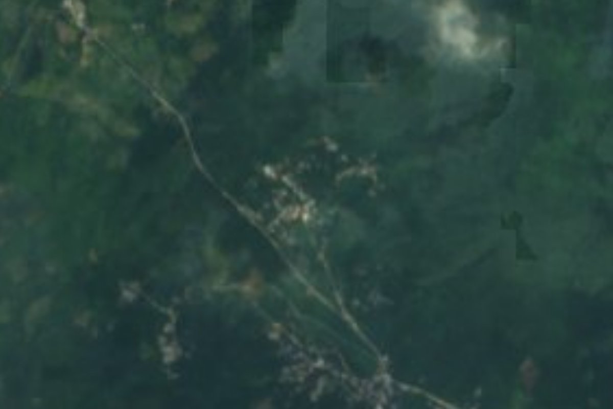
Village Huejutla de Reyes, Hidalgo Municipality of Huejutla de Reyes Hidalgo Huasteca
Community at 215 m west of Huejutla de Reyes, with its own 663 m hill 1.6 km away; not the Contepec in Michoacán.
From Pachuca: about 2 h 15 min by road (~150 km) How to get there ↓
Near here
See everything nearby ↓




Plan your visit to Contépec
Where to stay near Contépec
Compare hotels, posadas and guest houses in Contépec.
Tours to Contépec
Day trips and guided outings from Xilitla often include Contépec; with a local guide you can get there without a car.
 Tours from Xilitla
Surrealist Garden of Edward James, Castle of Health and Xilitla Nativity
★ 4.3 (10) · From US$100
How to get to Contépec
- From Pachuca: about 2 h 15 min by road (~150 km)
- Nearest airport: Querétaro (QRO), 3 h 27 min by car to Xilitla
Links open a partner site. We may earn a commission if you book, at no cost to you.
Tours from Xilitla, near Contépec


Tours, prices and ratings from Viator, checked weekly. We may earn a commission if you book.
About Contépec
Contépec, written Con-tepce in Nahuatl, comes from comitl, "pot", and tepec, and Wikipedia translates the whole as "settled place". The community stands at 215 metres in the Carso Huasteco sierra and belongs to Huejutla de Reyes municipality, about 7.6 km west of the seat in a straight line. Its waters pass to the Tempoal river sub-basin.
The climate is warm and humid, with an annual mean near 23 °C and rain all year. In 2020 it had 645 residents (327 women and 318 men), and INEGI ranks it 36th among the municipality's 213 localities. Smaller communities lie around it: Xocotitla, with 680 people, only 600 metres east, and Tezóhual, with 210, about 760 metres northeast. Cerro Contepec, at 663 m, is a walk of about 1.6 km to the east.
Huejutla municipality, "place where willows abound", covers 394 km², and over half its population, 53.8%, speaks an indigenous language. Its vegetation includes cedar, sapote, capulín and chote, and its animals the tigrillo, deer, armadillo and wild boar, plus hawks and hummingbirds. The nearest restaurants in INEGI's directory are in Huejutla, about 7.4 km away.
How to get to Contépec
Contépec is about 7.6 km west of Huejutla de Reyes in a straight line, and Huejutla is where federal highway 105 ends inside Hidalgo, after 216 km from Pachuca. By bus, Futura serves it, with a night departure from the capital's Terminal Norte; in Huejutla you ask for local transport to Contépec.
For distance references, Xilitla (San Luis Potosí) is about 59 km straight-line (approx. 70 minutes) and Ciudad Valles about 109 km (approx. 125 minutes). It should not be confused with Contepec in Michoacán: say "Contépec, Huejutla" when searching a map.
Directions to Contépec on Google Maps
Distances are in a straight line; the road is usually longer.
Links open a partner site. We may earn a commission if you book, at no cost to you.
From the nearest cities to Contépec
- Pachuca · about 150 km by road, ~2 h 15 min
- Tulancingo · about 155 km by road, ~2 h 15 min
- Ciudad Valles · 152 km by road, 2 h 25 min
Drive times by road from OpenStreetMap, without traffic or stops. Times marked ~ are estimated from the straight-line distance.
Visiting Contépec: what to see and do
Cerro Contepec (663 m), about 1.6 km east
Xocotitla and Tezóhual, neighbouring communities under 1 km away
Cerro Tacuatitla (541 m), about 3 km southwest
Huejutla de Reyes, about 7.6 km off, for meals and shopping
Plan your trip
Places to stay in Contépec
Compare hotels, posadas, and rentals in and around Contépec.
Tours & activities
Day trips and guided outings from Xilitla often include Contépec; with a local guide you can get there without a car.
Rental cars
Pick up a car at QRO (Querétaro): about 3 h 27 min by road to Xilitla, then 59 km more to Contépec, on your own schedule.
Flights
The nearest airport with scheduled flights is Querétaro (QRO), about 3 h 27 min by road from Xilitla, the base for Contépec.
Mobile data
Signal can drop away from Xilitla: download a map of the way to Contépec before you set out, or carry an eSIM with data.
Links open a partner site. We may earn a commission if you book, at no cost to you.
When to go to Contépec mild
Contépec shares the climate of Xilitla, 59 km away. The best months to visit are February, March, August, and November.
See the month-by-month climate of Xilitla
Weather in Contépec now and the next 7 days
Live forecast from Open-Meteo. Chance of rain is the day's highest.
The closest Pueblo Mágico: Xilitla

Xilitla is the Pueblo Mágico closest to Contépec, with places to stay, food, and more to see.
Also close to
- Metztitlán · Hidalgo · 67 km away
- Aquismón · San Luis Potosí · 77 km away
Closest to Contépec
-
Macuxtepetla · Village · 2 km away
-
Huichapa · Village · 3 km away
-
La Corrala · Village · 4 km away
-
Tlaltzintla · Village · 4 km away
-
Jaltocán · Town · 5 km away
-
Chililico · Village · 6 km away
-
Acuatempa · Village · 7 km away
-
Ixcatlán · Village · 7 km away

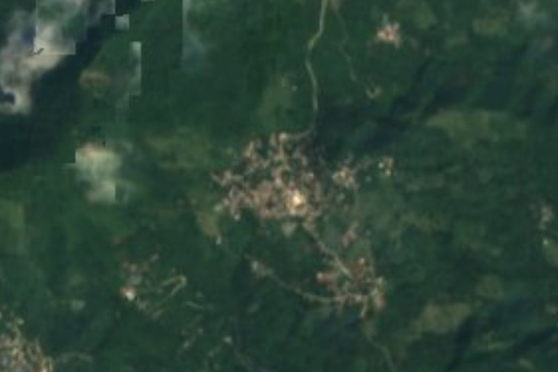
Near Contépec



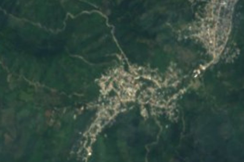
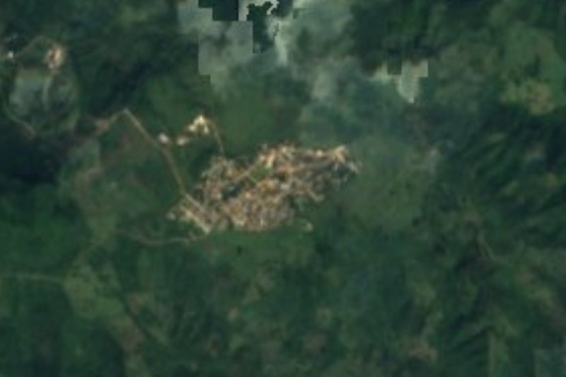





Drive times by road from OpenStreetMap, without traffic. Times marked ~ are estimated from the straight-line distance.
Location from OpenStreetMap. Written by Puebloteca.