Village Huejutla de Reyes, Hidalgo Municipality of Huejutla de Reyes Hidalgo Huasteca
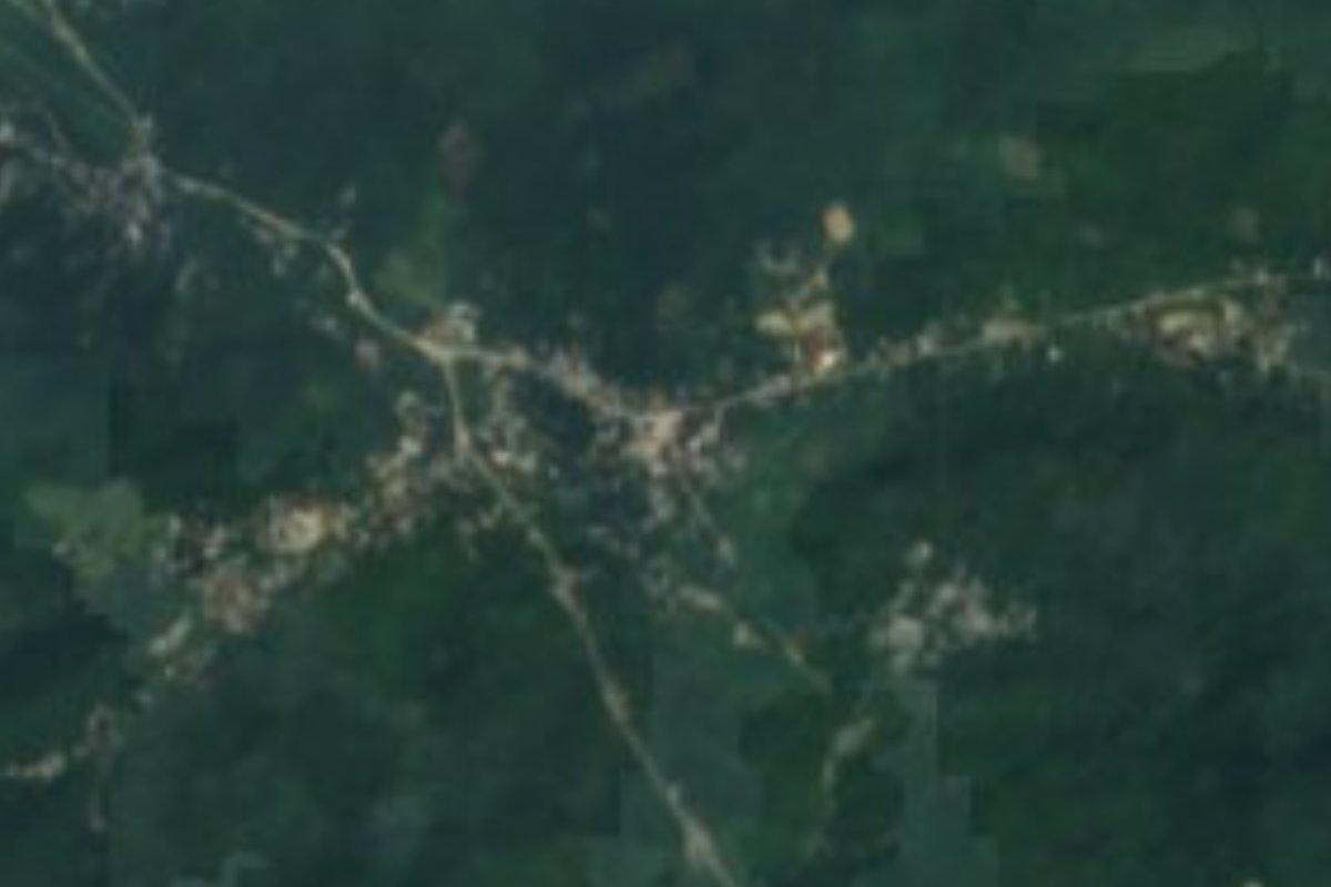
Nahua community in the Huasteca on the Huejutla-Jaltocán road, at 256 m; embroidered blouses and a stone church.
From Pachuca: about 2 h 10 min by road (~150 km) How to get there ↓
Near here
See everything nearby ↓


Plan your visit to Macuxtepetla
Where to stay near Macuxtepetla
Compare hotels, posadas and guest houses in Macuxtepetla.
Tours to Macuxtepetla
Day trips and guided outings from Xilitla often include Macuxtepetla; with a local guide you can get there without a car.
 Tours from Xilitla
Surrealist Garden of Edward James, Castle of Health and Xilitla Nativity
★ 4.3 (10) · From US$100
How to get to Macuxtepetla
- From Pachuca: about 2 h 10 min by road (~150 km)
- Nearest airport: Querétaro (QRO), 3 h 27 min by car to Xilitla
Links open a partner site. We may earn a commission if you book, at no cost to you.
Tours from Xilitla, near Macuxtepetla


Tours, prices and ratings from Viator, checked weekly. We may earn a commission if you book.
About Macuxtepetla
Macuxtepetla sits at just 256 metres, in the low sierra of Hidalgo's Huasteca, with a warm humid climate and rain all year. Its water runs to the Los Hules sub-basin, within the Moctezuma basin. It is a community of 657 people in 2020 (340 women, 317 men), under 0.6% of the municipality of Huejutla de Reyes, on the road from Huejutla to Jaltocán, about 7 km from the municipal seat.
It belongs to the Nahua world around Huejutla, and what visitors have noticed most is the clothing. The author of a site on Mexican textiles describes it as a village with a great variety of embroidered blouses and traditional dress, where girls often wear homemade pleated dresses with machine-embroidered designs; the author reads this as a change of fashion, not the loss of the textile tradition. In the stone church the author saw cross-stitch on the altar cloth and on the priest's shawl.
Another community, Acuapa, lies nearby, and an ITESO project proposed linking the two with a footbridge. Huejutla, the municipal seat, celebrates Xantolo from 30 October to 2 November.
How to get to Macuxtepetla
Macuxtepetla is on the Huejutla to Jaltocán road, about 7 km from Huejutla de Reyes (approx.), in the far north of Hidalgo. Huejutla has a central bus station with departures to Pachuca, Mexico City, Tampico, Guadalajara and Monterrey; Wikipedia gives 221.7 km from Huejutla to Pachuca and about 312 km to Mexico City.
From Huejutla the short hop to the community follows the Jaltocán road; at Huejutla's bus station you can ask about taxis or local transport. Xilitla, the nearest Pueblo Mágico, is about 60 km away in a straight line (approx.), and Ciudad Valles, the nearest large city, about 111 km (approx.).
Directions to Macuxtepetla on Google Maps
Distances are in a straight line; the road is usually longer.
Links open a partner site. We may earn a commission if you book, at no cost to you.
From the nearest cities to Macuxtepetla
- Pachuca · about 150 km by road, ~2 h 10 min
- Tulancingo · about 150 km by road, ~2 h 15 min
- Ciudad Valles · 153 km by road, 2 h 25 min
Drive times by road from OpenStreetMap, without traffic or stops. Times marked ~ are estimated from the straight-line distance.
Visiting Macuxtepetla: what to see and do
The village's stone church, with its cross-stitched altar cloth.
The embroidered blouses and traditional Nahua dress of the community.
The Huejutla-Jaltocán road, through low Huasteca hills.
Huejutla de Reyes, about 7 km away, with its cathedral and its Xantolo from 30 October to 2 November.
Plan your trip
Places to stay in Macuxtepetla
Compare hotels, posadas, and rentals in and around Macuxtepetla.
Tours & activities
Day trips and guided outings from Xilitla often include Macuxtepetla; with a local guide you can get there without a car.
Rental cars
Pick up a car at QRO (Querétaro): about 3 h 27 min by road to Xilitla, then 60 km more to Macuxtepetla, on your own schedule.
Flights
The nearest airport with scheduled flights is Querétaro (QRO), about 3 h 27 min by road from Xilitla, the base for Macuxtepetla.
Mobile data
Signal can drop away from Xilitla: download a map of the way to Macuxtepetla before you set out, or carry an eSIM with data.
Links open a partner site. We may earn a commission if you book, at no cost to you.
When to go to Macuxtepetla mild
Macuxtepetla shares the climate of Xilitla, 60 km away. The best months to visit are February, March, August, and November.
See the month-by-month climate of Xilitla
Weather in Macuxtepetla now and the next 7 days
Live forecast from Open-Meteo. Chance of rain is the day's highest.
The closest Pueblo Mágico: Xilitla

Xilitla is the Pueblo Mágico closest to Macuxtepetla, with places to stay, food, and more to see.
Also close to
- Metztitlán · Hidalgo · 67 km away
- Aquismón · San Luis Potosí · 79 km away
Closest to Macuxtepetla
-
Contépec · Village · 2 km away
-
Tlaltzintla · Village · 4 km away
-
Chililico · Village · 5 km away
-
Huichapa · Village · 5 km away
-
Acuatempa · Village · 6 km away
-
Jaltocán · Town · 6 km away
-
La Corrala · Village · 6 km away
-
Huejutla de Reyes · Town · 7 km away


Near Macuxtepetla








Drive times by road from OpenStreetMap, without traffic. Times marked ~ are estimated from the straight-line distance.
Location from OpenStreetMap. Written by Puebloteca.