Town San Felipe Orizatlán, Hidalgo Municipality of San Felipe Orizatlán Hidalgo Huasteca
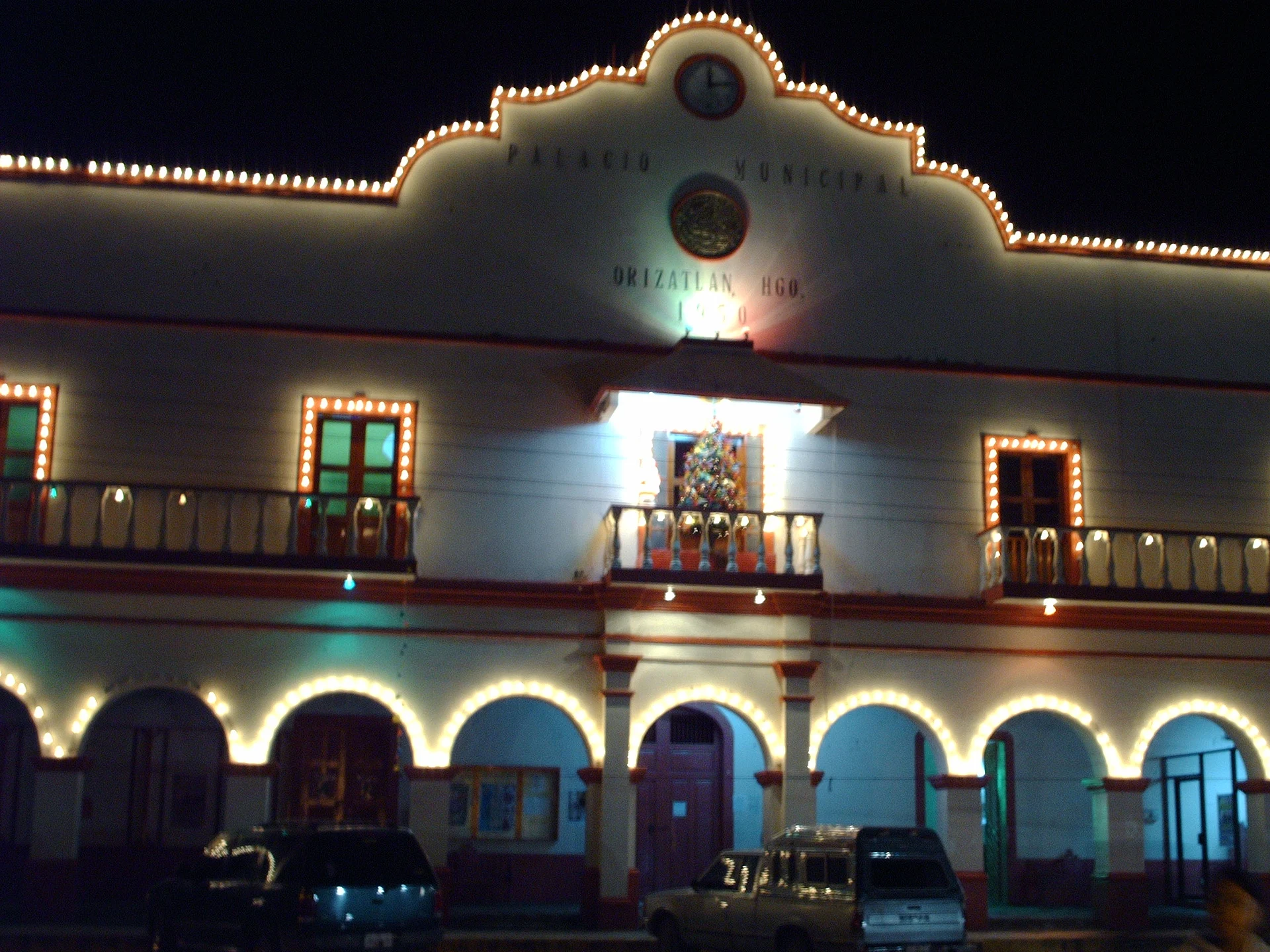
San Felipe Orizatlán, a Huasteca seat known for traditional bread, Xantolo, a late-January fair and cold rivers with waterfalls.
From Ciudad Valles: 2 h 10 min by car (134 km by road) How to get there ↓
Near here
See everything nearby ↓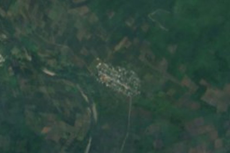


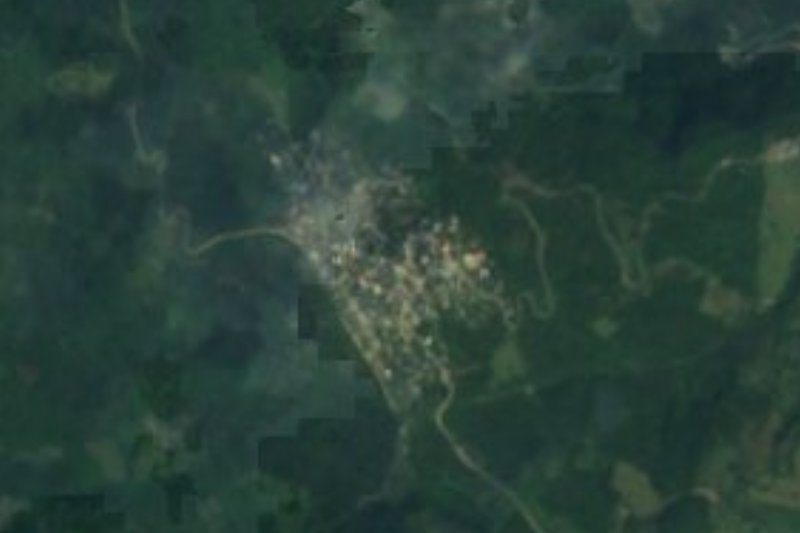
Plan your visit to Orizatlán
Where to stay near Orizatlán
Compare hotels, posadas and guest houses in Orizatlán.
Tours to Orizatlán
Day trips around Xilitla sometimes stop in Orizatlán; a tour is the easy way to see it without a car.
How to get to Orizatlán
- From Ciudad Valles: about 2 h 10 min by road (~134 km)
- Nearest airport: Querétaro (QRO), 3 h 27 min by car to Xilitla
Links open a partner site. We may earn a commission if you book, at no cost to you.
About Orizatlán
San Felipe Orizatlán bills itself as "Tierra con Sabor a Pan", and the motto is not decoration: its carteras with cheese and butter are counted among the best breads of the Huasteca, and the main garden has a kiosk and a monument to the baker. The municipality set 28 November as the day of the traditional baker (first held in 2025). The table also offers pinto and cheese bocoles, enchiladas with cecina, mole de indio, orange atole and café de olla.
The name joins the patron saint, San Felipe de Jesús, with the Greek root oryza (rice) and Nahuatl tlan, "place"; Huasteca Nahuatl speakers call it Sahwantitlan. The seat was founded in the 16th century by indigenous people and Spaniards, and in 1870 the state declared it a municipal seat. More than 55% of the municipality's 38,492 residents (2020) speak an indigenous language, mainly Nahuatl, and the seat is its largest locality, with 7,037.
On the natural side, the Tultitlán and San Pedro rivers run clear, and the first comes down cold from the Tlanchinol sierra. Visitors can walk to the Tultitlán waterfalls (about 20 minutes, crossing streams and pastures), see the emerald water of the reservoir at ejido Petlacalt, stay at the oak forest of El Encinal, with cabins and bike routes, or swim at Rancho Tuzantla in Ahuatitla. Xantolo is held on the municipal esplanade with offerings entered in a contest and a giant marigold altar, and the patron fair opens in late January.
How to get to Orizatlán
Drive from Ciudad Valles: 2 h 10 min, 134 km
San Felipe Orizatlán is about 25 km from Huejutla de Reyes by road, 25 to 30 minutes by car (Rome2rio gives 23 minutes and roughly 25 km). That is the stretch nearly everyone uses, since Huejutla is the nearest large town. From Pachuca it is about 200 km by road, roughly 3 h 20 min by the route calculation; most of the drive is federal highway 105 as far as Huejutla.
From Huejutla to Orizatlán there is a bus of about 60 minutes, run by Autonaves (about three departures a day, leaving the Huejutla station) and Grupo Vencedor (one a day), according to Rome2rio; a taxi takes about 23 minutes. From Mexico City you must first get to Huejutla. Tlanchinol is about 41 km by road. Xilitla, the nearest Pueblo Mágico, is about 46 km away in a straight line, across the border in San Luis Potosí.
Directions to Orizatlán on Google Maps
Distances are in a straight line; the road is usually longer.
Links open a partner site. We may earn a commission if you book, at no cost to you.
From the nearest cities to Orizatlán
- Ciudad Valles · 134 km by road, 2 h 10 min
- Tulancingo · about 160 km by road, ~2 h 25 min
- Huauchinango · about 165 km by road, ~2 h 25 min
Drive times by road from OpenStreetMap, without traffic or stops. Times marked ~ are estimated from the straight-line distance.
Before you go to Orizatlán: hours, prices and tips
- Time needed
- The Tultitlán waterfalls are about a 20-minute walk. Criterio Hidalgo · checked Oct 2026
- Best season
- The patron fair for San Felipe de Jesús opens in late January (the 2025 one ran from 30 January to 8 February, with masses, pilgrimages, horse races and a fireworks castle). Xantolo is in early November, and 28 November is the day of the traditional baker. Tus Buenas Noticias / Criterio Hidalgo · checked Oct 2026
- What to bring
- Light clothing, sunscreen, repellent, a cap or hat, water shoes for river crossings and fluids to stay hydrated. Criterio Hidalgo · checked Oct 2026
Hours and prices change, especially around holidays. Each fact links to where we checked it.
Visiting Orizatlán: what to see and do
The main garden, with its kiosk and the baker's monument
Cheese-and-butter carteras and the traditional bread
The Tultitlán waterfalls, about a 20-minute walk
The reservoir at ejido Petlacalt, with emerald water
El Encinal: oak forest, cabins and cycling
The municipal esplanade at Xantolo, with altars and the offering contest
Plan your trip
Places to stay in Orizatlán
Compare hotels, posadas, and rentals in and around Orizatlán.
Tours & activities
Day trips around Xilitla sometimes stop in Orizatlán; a tour is the easy way to see it without a car.
Rental cars
Pick up a car at QRO (Querétaro): about 3 h 27 min by road to Xilitla, then 46 km more to Orizatlán, on your own schedule.
Flights
The nearest airport with scheduled flights is Querétaro (QRO), about 3 h 27 min by road from Xilitla, the base for Orizatlán.
Mobile data
Signal can drop away from Xilitla: download a map of the way to Orizatlán before you set out, or carry an eSIM with data.
Links open a partner site. We may earn a commission if you book, at no cost to you.
When to go to Orizatlán mild
Orizatlán shares the climate of Xilitla, 46 km away. The best months to visit are February, March, August, and November.
See the month-by-month climate of Xilitla
Weather in Orizatlán now and the next 7 days
Live forecast from Open-Meteo. Chance of rain is the day's highest.
The closest Pueblo Mágico: Xilitla

Xilitla is the Pueblo Mágico closest to Orizatlán, with places to stay, food, and more to see.
Also close to
- Aquismón · San Luis Potosí · 66 km away
- Metztitlán · Hidalgo · 67 km away
Closest to Orizatlán


Near Orizatlán








Drive times by road from OpenStreetMap, without traffic. Times marked ~ are estimated from the straight-line distance.
Location from OpenStreetMap. Written by Puebloteca.