Village Huazalingo, Hidalgo Hidalgo Huasteca
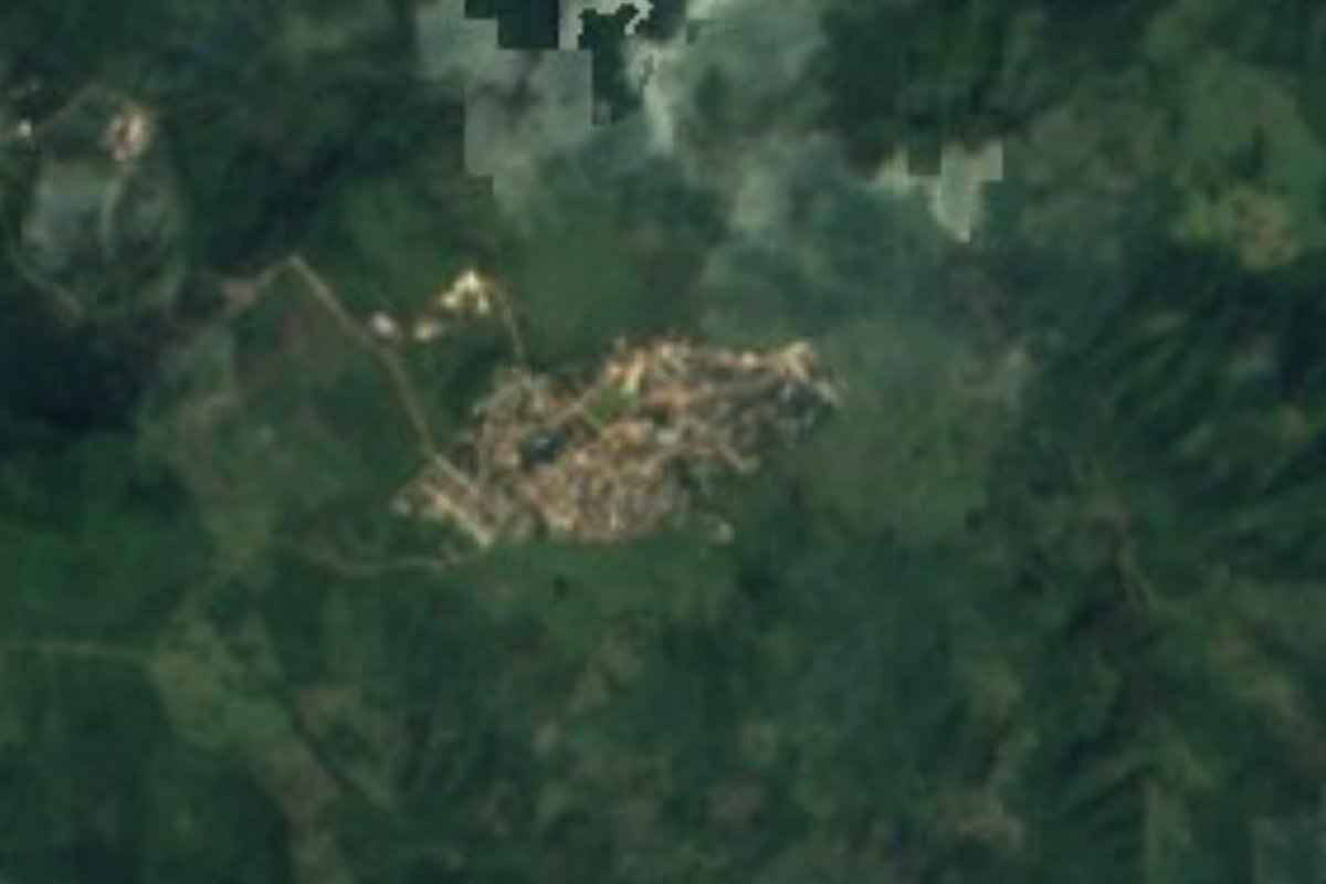
The most populous locality in Huazalingo (1,940 people), at 1,037 m in the Huasteca karst and 5 km from the seat.
From Huauchinango: about 2 h by road (~135 km) How to get there ↓
Near here
See everything nearby ↓


Plan your visit to San Francisco
Where to stay near San Francisco
Compare hotels, posadas and guest houses in San Francisco.
Tours to San Francisco
Day trips and guided outings from Metztitlán often include San Francisco; with a local guide you can get there without a car.
 Tours from Xilitla
Surrealist Garden of Edward James, Castle of Health and Xilitla Nativity
★ 4.3 (10) · From US$100
How to get to San Francisco
- From Huauchinango: about 2 h by road (~135 km)
- Nearest airport: Mexico City (Felipe Ángeles) (NLU), 2 h 18 min by car to Metztitlán
Links open a partner site. We may earn a commission if you book, at no cost to you.
Tours from Xilitla, near San Francisco


Tours, prices and ratings from Viator, checked weekly. We may earn a commission if you book.
About San Francisco
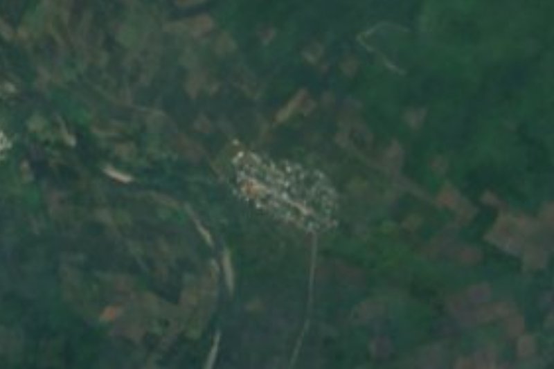
More people live in San Francisco than in the municipal seat itself: 1,940 residents in 2020, 15% of Huazalingo, which gives the municipality its name but whose most populous locality is this one. It lies at 1,037 metres in the Sierra Madre Oriental, in the Huasteca karst subprovince, about 5 km north-east of Huazalingo, and its climate is semi-warm humid with rain all year.
The numbers show a history of ups and downs. In 1900 there were 1,638 people, 654 in 1910, 1,544 again in 1921 and 418 in 1930, and then a slow climb: 616 in 1950, 921 in 1980, 1,390 in 2000 and 1,831 in 2010. The 2020 census recorded 443 occupied dwellings. Marginalisation is rated high and social lag medium. There is a Diconsa shop here, as in other communities of the municipality.
Huazalingo is a small municipality of the Hidalgo Huasteca (107.5 km², created on 15 February 1826) that climbs from 200 to 1,400 metres. In 2015 it sowed 2,352 hectares of maize, 694 of coffee cherry and 599 of beans, and it also produces honey. A visitor to San Francisco will find a mountain community, not a place with tourist services.
How to get to San Francisco
San Francisco is about 5 km north-east of Huazalingo, the seat, in Hidalgo's Huasteca. Pachuca is about 104 km away in a straight line (allow over two hours by road, approx.) and Metztitlán, the nearest Pueblo Mágico, about 56 km. To arrive without a car, first head for the Huejutla or Tlanchinol area, both of which border the municipality, then on to Huazalingo; in the seat ask about transport for the last stretch. The roads are mountain ones, with bends and slopes; set out early and check the weather in the rainy season.
Directions to San Francisco on Google Maps
Distances are in a straight line; the road is usually longer.
Links open a partner site. We may earn a commission if you book, at no cost to you.
From the nearest cities to San Francisco
- Tulancingo · about 135 km by road, ~2 h
- Huauchinango · about 135 km by road, ~2 h
- Tuxpan · 172 km by road, 2 h 55 min
Drive times by road from OpenStreetMap, without traffic or stops. Times marked ~ are estimated from the straight-line distance.
Visiting San Francisco: what to see and do
Huazalingo, the municipal seat, about 5 km to the south-west
Mountain landscape of the Hidalgo Huasteca, with maize plots
Karst relief of the Sierra Madre Oriental, at 1,037 m
Plan your trip
Places to stay in San Francisco
Compare hotels, posadas, and rentals in and around San Francisco.
Tours & activities
Day trips and guided outings from Metztitlán often include San Francisco; with a local guide you can get there without a car.
Rental cars
Pick up a car at NLU (Mexico City (Felipe Ángeles)): about 2 h 18 min by road to Metztitlán, then 56 km more to San Francisco, on your own schedule.
Flights
The nearest airport with scheduled flights is Mexico City (Felipe Ángeles) (NLU), about 2 h 18 min by road from Metztitlán, the base for San Francisco.
Mobile data
Signal can drop away from Metztitlán: download a map of the way to San Francisco before you set out, or carry an eSIM with data.
Links open a partner site. We may earn a commission if you book, at no cost to you.
When to go to San Francisco mild
San Francisco shares the climate of Metztitlán, 56 km away. The best months to visit are January, February, March, and December.
See the month-by-month climate of Metztitlán
Weather in San Francisco now and the next 7 days
Live forecast from Open-Meteo. Chance of rain is the day's highest.
The closest Pueblo Mágico: Metztitlán

Metztitlán is the Pueblo Mágico closest to San Francisco, with places to stay, food, and more to see.
Also close to
- Xilitla · San Luis Potosí · 66 km away
Closest to San Francisco
-
Acuatempa · Village · 6 km away
-
Ixcatlán · Village · 9 km away
-
Tlaltzintla · Village · 9 km away
-
Macuxtepetla · Village · 12 km away
-
Coamitla · Village · 13 km away
-
Contépec · Village · 13 km away
-
Yahualica · Village · 13 km away
-
Atlapexco · Village · 14 km away


Near San Francisco




Drive times by road from OpenStreetMap, without traffic. Times marked ~ are estimated from the straight-line distance.
Location from OpenStreetMap. Written by Puebloteca.