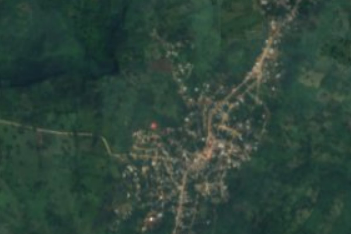
Village Huautla, Hidalgo Municipality of Huautla Hidalgo Huasteca
Municipal seat in Hidalgo's Huasteca, on a plateau above the Calabozo river, with 3,806 people and a Nahua-speaking majority.
From Tulancingo: about 2 h by road (~140 km) How to get there ↓
Near here
See everything nearby ↓


Plan your visit to Huautla
Where to stay near Huautla
Compare hotels, posadas and guest houses in Huautla.
Tours to Huautla
Day trips and guided outings from Metztitlán often include Huautla; with a local guide you can get there without a car.
 Tours from Xilitla
Surrealist Garden of Edward James, Castle of Health and Xilitla Nativity
★ 4.3 (10) · From US$100
How to get to Huautla
- From Tulancingo: about 2 h by road (~140 km)
- Nearest airport: Mexico City (Felipe Ángeles) (NLU), 2 h 18 min by car to Metztitlán
Links open a partner site. We may earn a commission if you book, at no cost to you.
Tours from Xilitla, near Huautla


Tours, prices and ratings from Viator, checked weekly. We may earn a commission if you book.
About Huautla
Huautla stands at 520 metres on a plateau of the Sierra Madre Oriental above the Calabozo river, in Hidalgo's Huasteca. It is the seat of a 292 km² municipality of 20,673 people, almost 69% of whom speak an Indigenous language, mainly Huasteca Nahuatl; in the town itself, 1,181 of its 3,806 residents do. The climate is semi-warm and humid, averaging 21 °C with 1,725 mm of rain a year.
The name has two explanations: from Nahuatl cuauhtli, tree, and tlan, place, meaning a place of groves; or, if cuauhtli is read as eagle, a place where eagles abound. The glyph in the Lienzo de la Provincia de Tzicohuac shows a blue oval, the plateau, with an eagle's head inside and a blue river beside it, the Texoatl or blue water, which corresponds to the Calabozo.
Archaeology points to continuous settlement since the Late Classic, around 800 or 900 AD. Tzacualme, stone mounds with circular bases, survive along the Calabozo (at Tamoyón and at the site called Tlane, in the community of Coatzonco), along with others with rectangular bases tied to the last years of the Postclassic, when Huautla and Yahualica are thought to have been allies of the Señorío de Metztitlán against the Triple Alliance.
Today the town has a central market, with regional food stalls on market day, and a carnival in which women wear the traditional embroidered Nahua blouse, now worn only by the older generations.
How to get to Huautla
Huautla is about 231 km from Pachuca, according to Wikipedia, and about 35 minutes by car from Huejutla de Reyes, which the municipality borders to the north and west. The realistic route is to reach Huejutla and continue from there: Pachuca's Terminal Central de Autobuses has departures to Huejutla, and from Mexico City the usual starting point is the Terminal del Norte. In Huejutla, ask about local transport on to Huautla. Poza Rica, the nearest large city, is about 103 km away in a straight line (roughly 2 hours), and Metztitlán, the nearest Pueblo Mágico, about 70 km (roughly 80 minutes). If you are heading to the communities along the Calabozo, note that in October 2025 rains took out a bridge over the river and 18 localities, Tamoyón I and II among them, lost their direct link to the seat; by December people crossed in a temporary boat coordinated with Protección Civil, with no reconstruction date. Ask at the municipal office how the crossing stands.
Directions to Huautla on Google Maps
Distances are in a straight line; the road is usually longer.
Links open a partner site. We may earn a commission if you book, at no cost to you.
From the nearest cities to Huautla
- Tulancingo · about 140 km by road, ~2 h
- Pachuca · about 145 km by road, ~2 h 10 min
- Tuxpan · 126 km by road, 2 h 20 min
Drive times by road from OpenStreetMap, without traffic or stops. Times marked ~ are estimated from the straight-line distance.
Before you go to Huautla: hours, prices and tips
- Best time of day
- Go on market day, when the central market fills up and regional food stalls open. Mexican Textiles · checked Oct 2026
- Best season
- Women take part in carnival in the traditional embroidered Nahua blouse. Mexican Textiles · checked Oct 2026
- Rules
- Before going to communities beside the Calabozo, ask at the municipal office whether the crossing is still by boat and whether the river is passable. Criterio Hidalgo · checked Oct 2026
Hours and prices change, especially around holidays. Each fact links to where we checked it.
Visiting Huautla: what to see and do
The central market on market day, with regional food stalls
The Calabozo river, beside the plateau (with fishermen at the Coatzonco stretch)
The circular tzacualme mounds at Tamoyón and the site called Tlane, in Coatzonco
Carnival, with the embroidered Nahua blouse
Plan your trip
Places to stay in Huautla
Compare hotels, posadas, and rentals in and around Huautla.
Tours & activities
Day trips and guided outings from Metztitlán often include Huautla; with a local guide you can get there without a car.
Rental cars
Pick up a car at NLU (Mexico City (Felipe Ángeles)): about 2 h 18 min by road to Metztitlán, then 70 km more to Huautla, on your own schedule.
Flights
The nearest airport with scheduled flights is Mexico City (Felipe Ángeles) (NLU), about 2 h 18 min by road from Metztitlán, the base for Huautla.
Mobile data
Signal can drop away from Metztitlán: download a map of the way to Huautla before you set out, or carry an eSIM with data.
Links open a partner site. We may earn a commission if you book, at no cost to you.
When to go to Huautla mild
Huautla shares the climate of Metztitlán, 70 km away. The best months to visit are January, February, March, and December.
See the month-by-month climate of Metztitlán
Weather in Huautla now and the next 7 days
Live forecast from Open-Meteo. Chance of rain is the day's highest.
The closest Pueblo Mágico: Metztitlán

Metztitlán is the Pueblo Mágico closest to Huautla, with places to stay, food, and more to see.
Closest to Huautla

Near Huautla







Drive times by road from OpenStreetMap, without traffic. Times marked ~ are estimated from the straight-line distance.
Location from OpenStreetMap. Written by Puebloteca.