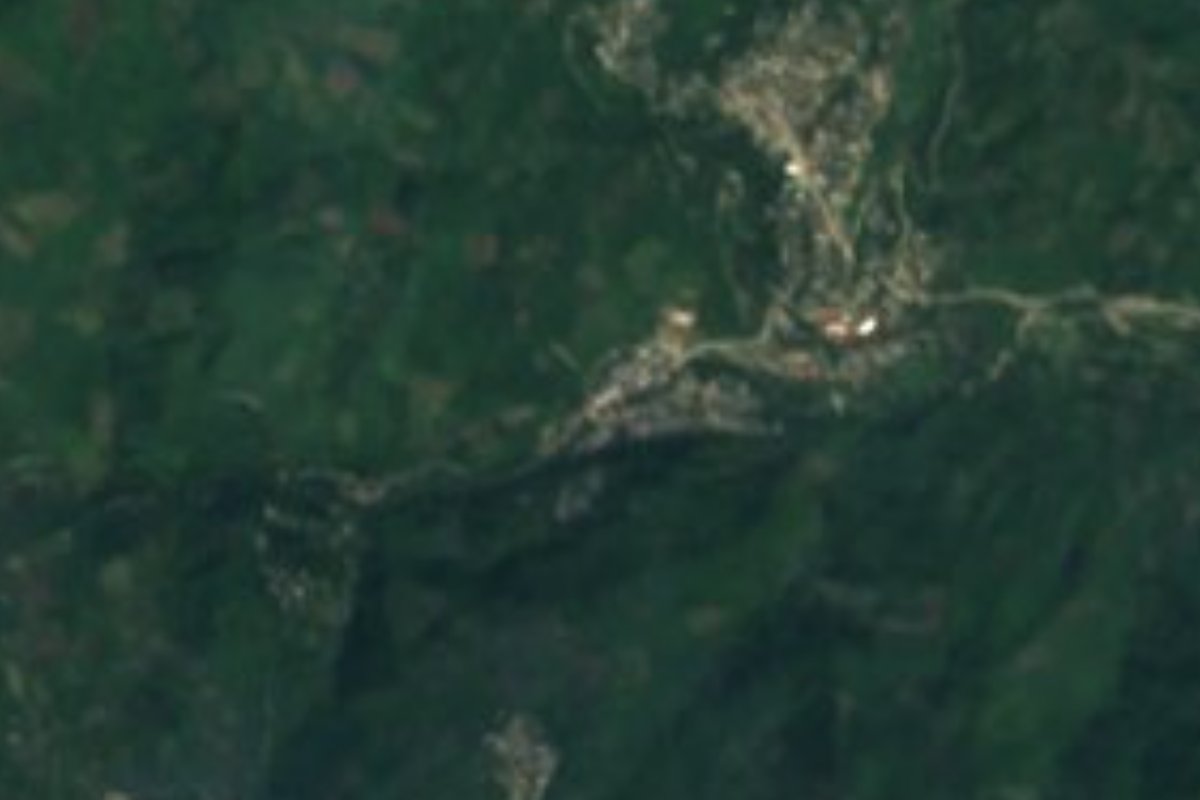
Village Yahualica, Hidalgo Municipality of Yahualica Hidalgo Huasteca
Nahua community in Yahualica at about 310 m, next to Oxeloco; not the Atlalco in Xochiatipan. The name means "place of irrigated land".
From Pachuca: about 1 h 55 min by road (~130 km) How to get there ↓
Near here
See everything nearby ↓


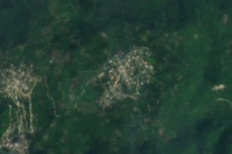

Plan your visit to Atlalco
Where to stay near Atlalco
Compare hotels, posadas and guest houses in Atlalco.
Tours to Atlalco
Day trips and guided outings from Metztitlán often include Atlalco; with a local guide you can get there without a car.
 Tours from Xilitla
Surrealist Garden of Edward James, Castle of Health and Xilitla Nativity
★ 4.3 (10) · From US$100
How to get to Atlalco
- From Pachuca: about 1 h 55 min by road (~130 km)
- Nearest airport: Mexico City (Felipe Ángeles) (NLU), 2 h 18 min by car to Metztitlán
Links open a partner site. We may earn a commission if you book, at no cost to you.
Tours from Xilitla, near Atlalco


Tours, prices and ratings from Viator, checked weekly. We may earn a commission if you book.
About Atlalco
The name comes from Nahuatl: atlalli, "irrigated land", with the locative -co. So it is the place of irrigated lands, a name that suits the local climate: warm and humid, with rain nearly all year and an average temperature around 22 °C. The community stands at about 309 metres in the Carso Huasteco ranges, and its water runs to the Calabozo river sub-basin.
It belongs to Yahualica municipality and had 679 residents in 2020 (347 women and 332 men), against 744 in 2010. It is not isolated: Oxeloco, with over a thousand people, lies 670 metres to the southwest; El Paraje is 780 metres west and Chiatitla a little over a kilometre east. Connectivity figures are low: a third of homes have a mobile phone and just over 1% have internet.
Two reference points: the seat, Yahualica, about 6.3 km southwest as the crow flies, and Santa Teresa, the municipality's largest locality, about 6.8 km northwest. Among the nearby hills is Tlatlapaya, at 773 m, a little over 4 km on foot to the west. There is another Atlalco in neighbouring Xochiatipan municipality, so it helps to say "Atlalco, Yahualica" when asking directions.
How to get to Atlalco
Atlalco is about 6.3 km northeast of Yahualica and about 6.8 km southeast of Santa Teresa, both straight-line. Metztitlán is about 58 km away by the same measure (approx. 65 minutes) and Tulancingo about 92 km (approx. 105 minutes). To reach the area you take federal highway 105, which links Pachuca with Huejutla (216 km within Hidalgo). From Mexico City, a night run by Futura leaves Terminal Norte for Huejutla.
From there the trip goes on through the Atlapexco and Yahualica area: Atlapexco, which Wikipedia places 192 km from Pachuca, is about 11.5 km from Atlalco by INEGI's business directory, and Xochiatipan about 10 km. Yahualica's municipal plan acknowledges poor rural roads and transport gaps, so the safest course is to ask in Yahualica for a taxi or colectivo to Atlalco, taking care not to mix it up with the Atlalco in Xochiatipan.
Directions to Atlalco on Google Maps
Distances are in a straight line; the road is usually longer.
Links open a partner site. We may earn a commission if you book, at no cost to you.
From the nearest cities to Atlalco
- Pachuca · about 130 km by road, ~1 h 55 min
- Tuxpan · 142 km by road, 2 h 25 min
- Poza Rica · 156 km by road, 2 h 35 min
Drive times by road from OpenStreetMap, without traffic or stops. Times marked ~ are estimated from the straight-line distance.
Visiting Atlalco: what to see and do
Oxeloco, the neighbouring community 670 m to the southwest
Chiatitla, just over 1 km east
Cerro Tlatlapaya (773 m), about 4 km west
Yahualica, the municipal seat, about 6.3 km away
Plan your trip
Places to stay in Atlalco
Compare hotels, posadas, and rentals in and around Atlalco.
Tours & activities
Day trips and guided outings from Metztitlán often include Atlalco; with a local guide you can get there without a car.
Rental cars
Pick up a car at NLU (Mexico City (Felipe Ángeles)): about 2 h 18 min by road to Metztitlán, then 58 km more to Atlalco, on your own schedule.
Flights
The nearest airport with scheduled flights is Mexico City (Felipe Ángeles) (NLU), about 2 h 18 min by road from Metztitlán, the base for Atlalco.
Mobile data
Signal can drop away from Metztitlán: download a map of the way to Atlalco before you set out, or carry an eSIM with data.
Links open a partner site. We may earn a commission if you book, at no cost to you.
When to go to Atlalco mild
Atlalco shares the climate of Metztitlán, 58 km away. The best months to visit are January, February, March, and December.
See the month-by-month climate of Metztitlán
Weather in Atlalco now and the next 7 days
Live forecast from Open-Meteo. Chance of rain is the day's highest.
The closest Pueblo Mágico: Metztitlán

Metztitlán is the Pueblo Mágico closest to Atlalco, with places to stay, food, and more to see.
Also close to
Closest to Atlalco
-
Tenamaxtepec · Village · 5 km away
-
Pahactla · Village · 7 km away
-
Pepeyocatitla · Village · 7 km away
-
Yahualica · Village · 7 km away
-
Texoloc · Village · 8 km away
-
Zacatipa · Village · 9 km away
-
Atlapexco · Village · 12 km away
-
Huazalinguillo · Village · 12 km away


Near Atlalco









Drive times by road from OpenStreetMap, without traffic. Times marked ~ are estimated from the straight-line distance.
Location from OpenStreetMap. Written by Puebloteca.