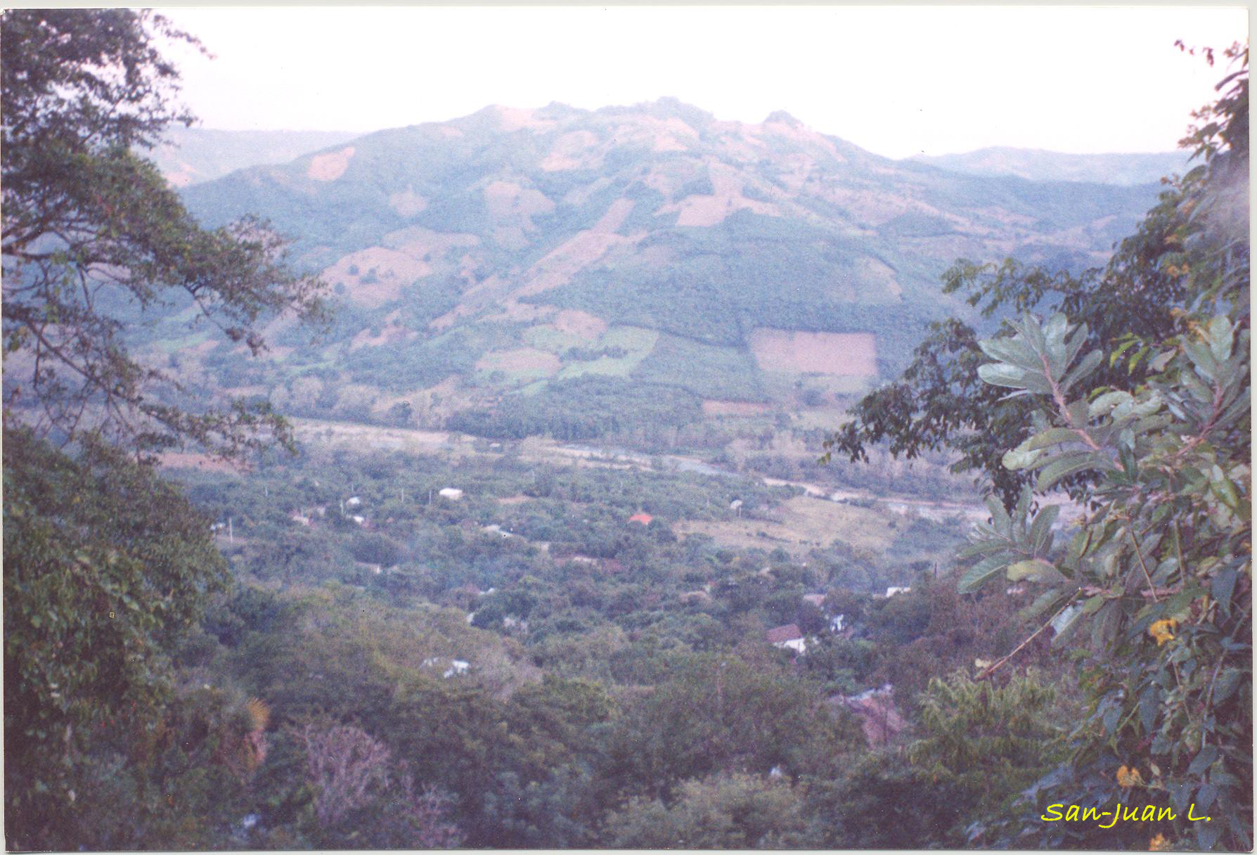
Village Atlapexco, Hidalgo Hidalgo Huasteca
Nahua community in Hidalgo's Huasteca, about 5 km from Atlapexco, with festivals all year and wind-band and huapango music.
From Tulancingo: about 1 h 55 min by road (~130 km) How to get there ↓
Near here
See everything nearby ↓

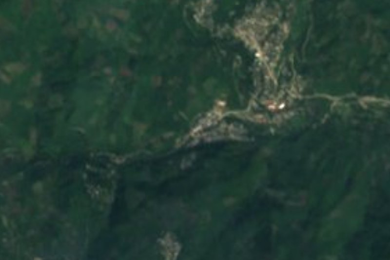



Plan your visit to Pahactla
Where to stay near Pahactla
Compare hotels, posadas and guest houses in Pahactla.
Tours to Pahactla
Day trips and guided outings from Metztitlán often include Pahactla; with a local guide you can get there without a car.
 Tours from Xilitla
Surrealist Garden of Edward James, Castle of Health and Xilitla Nativity
★ 4.3 (10) · From US$100
How to get to Pahactla
- From Tulancingo: about 1 h 55 min by road (~130 km)
- Nearest airport: Mexico City (Felipe Ángeles) (NLU), 2 h 18 min by car to Metztitlán
Links open a partner site. We may earn a commission if you book, at no cost to you.
Tours from Xilitla, near Pahactla


Tours, prices and ratings from Viator, checked weekly. We may earn a commission if you book.
About Pahactla
The name comes from Nahuatl: pajtli, "medicine", and tlan, "place", so Pahactla means "place of medicinal plants". The village stands at 393 metres in the sierra and rolling hills of the Carso Huasteco, about 5 kilometres southwest of Atlapexco, and its water runs down to the Los Hules river. The climate is warm and very wet, with rain almost year-round: close to 1,500 mm a year and around 22 °C on average.
The vegetation is medium semi-deciduous forest, and the tree list Wikipedia gives reads like a map of what people grow and use here: cedar, ceiba, rosewood, mango, coffee, pemuche, chalahuite and marigolds, plus medicinal herbs such as epazote and mint. In 2020 it counted 1,508 residents and 377 homes. The mother tongue is Huasteca Nahuatl, and roughly seven in ten people also speak Spanish. There is a kindergarten, a primary school and a telesecundaria.
The liveliest thing about Pahactla is its festival calendar: New Year, Carnival, Holy Week and the feast of San José in March, San Antonio de Padua in June, San Nicolás in September, Xantolo in November, and the posadas and Guadalupe in December. All of them are played out with wind bands or huapango. The communities of Xancaltitla and Santo Tomás are less than a kilometre away, and among the hills nearby is Choteametl, at 564 m.
How to get to Pahactla
Pahactla lies about 4.9 km southwest of Atlapexco, the municipal seat, which Wikipedia places 192 km from Pachuca and 338 km from Mexico City. From Atlapexco the village is roughly 5 km as the crow flies, and Yahualica is about 3.7 km away. The community has no lodging: hotels are in Atlapexco, 7 to 9 km north, where restaurants and shops are also found. Ask in Atlapexco about local transport.
Directions to Pahactla on Google Maps
Distances are in a straight line; the road is usually longer.
Links open a partner site. We may earn a commission if you book, at no cost to you.
From the nearest cities to Pahactla
- Tulancingo · about 130 km by road, ~1 h 55 min
- Pachuca · about 135 km by road, ~2 h
- Tuxpan · 159 km by road, 2 h 45 min
Drive times by road from OpenStreetMap, without traffic or stops. Times marked ~ are estimated from the straight-line distance.
Before you go to Pahactla: hours, prices and tips
- Best season
- Festivals: San José (March), San Antonio de Padua (June), San Nicolás (September), Xantolo (November) and the Virgin of Guadalupe (December), with wind bands or huapango. Wikipedia · checked Oct 2026
Hours and prices change, especially around holidays. Each fact links to where we checked it.
Visiting Pahactla: what to see and do
The feast of San José (March) and of San Nicolás (September)
Xantolo (November), with wind bands and huapango
Xancaltitla and Santo Tomás, neighbouring communities under 1 km away
Cerro Choteametl (564 m)
Atlapexco, 5 km north, with hotels and shops
Plan your trip
Places to stay in Pahactla
Compare hotels, posadas, and rentals in and around Pahactla.
Tours & activities
Day trips and guided outings from Metztitlán often include Pahactla; with a local guide you can get there without a car.
Rental cars
Pick up a car at NLU (Mexico City (Felipe Ángeles)): about 2 h 18 min by road to Metztitlán, then 60 km more to Pahactla, on your own schedule.
Flights
The nearest airport with scheduled flights is Mexico City (Felipe Ángeles) (NLU), about 2 h 18 min by road from Metztitlán, the base for Pahactla.
Mobile data
Signal can drop away from Metztitlán: download a map of the way to Pahactla before you set out, or carry an eSIM with data.
Links open a partner site. We may earn a commission if you book, at no cost to you.
When to go to Pahactla mild
Pahactla shares the climate of Metztitlán, 60 km away. The best months to visit are January, February, March, and December.
See the month-by-month climate of Metztitlán
Weather in Pahactla now and the next 7 days
Live forecast from Open-Meteo. Chance of rain is the day's highest.
The closest Pueblo Mágico: Metztitlán

Metztitlán is the Pueblo Mágico closest to Pahactla, with places to stay, food, and more to see.
Also close to
Closest to Pahactla
-
Yahualica · Village · 4 km away
-
Atlapexco · Village · 5 km away
-
Atlalco · Village · 7 km away
-
Pepeyocatitla · Village · 8 km away
-
Huautla · Village · 10 km away
-
Tenamaxtepec · Village · 10 km away
-
Ahuehuetl · Village · 11 km away
-
Zacatipa · Village · 11 km away


Near Pahactla




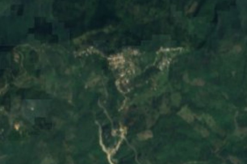



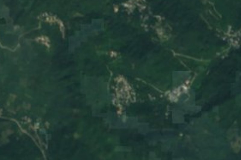


Drive times by road from OpenStreetMap, without traffic. Times marked ~ are estimated from the straight-line distance.
Location from OpenStreetMap. Written by Puebloteca.