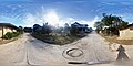
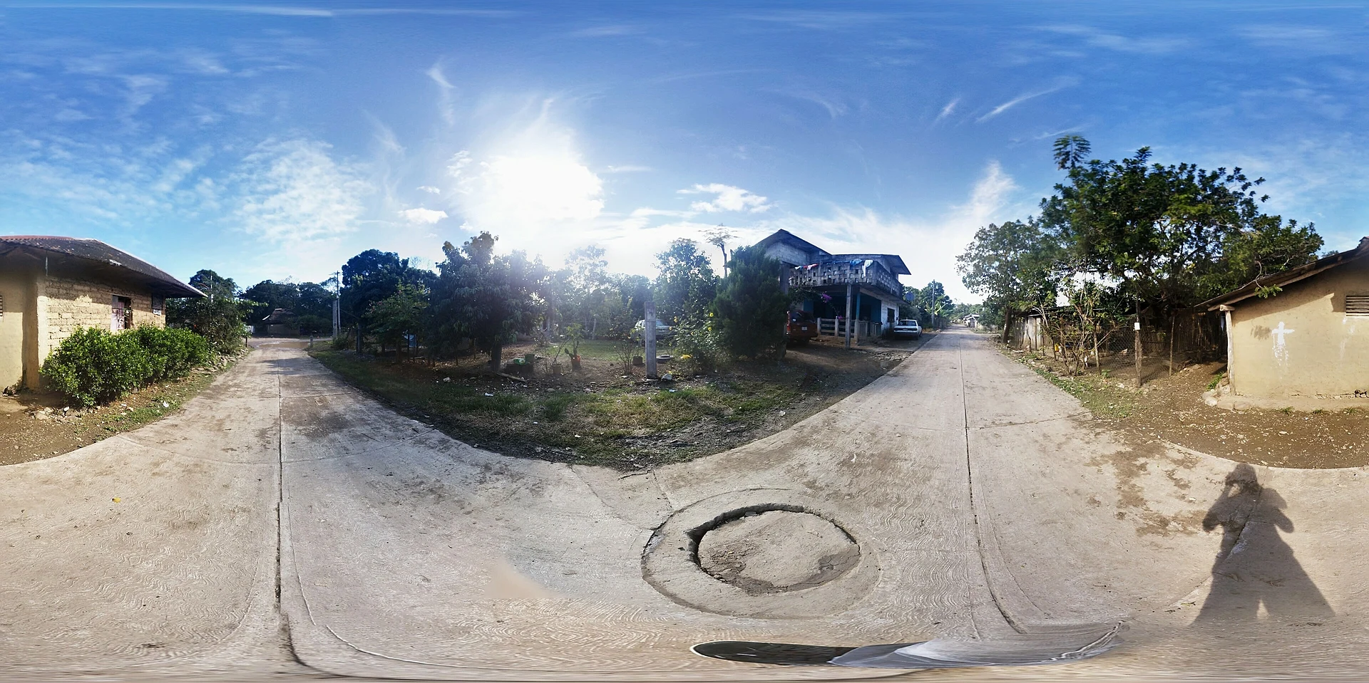
Village Huautla, Hidalgo Municipality of Huautla Hidalgo Huasteca
Huasteca locality in Huautla at 154 m, about 4 km from the seat on the Calabozo River, where pre-Hispanic circular mounds are recorded.
From Tulancingo: about 2 h by road (~135 km) How to get there ↓
Near here
See everything nearby ↓




Plan your visit to Tamoyón I
Where to stay near Tamoyón I
Compare hotels, posadas and guest houses in Tamoyón I.
Tours to Tamoyón I
Day trips and guided outings from Metztitlán often include Tamoyón I; with a local guide you can get there without a car.
 Tours from Xilitla
Surrealist Garden of Edward James, Castle of Health and Xilitla Nativity
★ 4.3 (10) · From US$100
How to get to Tamoyón I
- From Tulancingo: about 2 h by road (~135 km)
- Nearest airport: Mexico City (Felipe Ángeles) (NLU), 2 h 18 min by car to Metztitlán
Links open a partner site. We may earn a commission if you book, at no cost to you.
Tours from Xilitla, near Tamoyón I


Tours, prices and ratings from Viator, checked weekly. We may earn a commission if you book.
About Tamoyón I
Tamoyón I stands at 154 metres above sea level, on Huasteca Karst ridges, under a semi-warm humid climate with no dry season. It belongs to the municipality of Huautla and, according to Wikipedia, lies about 4.14 km south-east of the seat. Its waters run along the edge of the Calabozo River subbasin, part of the Moctezuma system.
The 2020 census recorded 905 people, 411 men and 494 women, 4.38% of the municipal population, in 208 occupied homes. The long series has a notable jump: 209 inhabitants in 1900, 447 in 1940, a fall to 212 in 1960 and then growth to 933 in 2000, with little change since. The entry notes high marginalisation and low social lag.
The oldest traces nearby are the tzacualme, circular stone bases lined up along the banks of the Calabozo; Huautla's history cites those at Tamoyón and at the Tlane site in Coatzonco by name, and suggests they reflect a Teenek occupation, with continuous human presence since the Late Classic. In the seat, Huautla, INEGI singles out the 16th-century parish of San Juan Bautista and a cuisine of zacahuil, bocoles and cecina with enchiladas; the municipality's crafts include hand-embroidered wool jorongos, sarapes and pottery.
How to get to Tamoyón I
Tamoyón I is about 4 km from Huautla in a straight line (4.14 km south-east, according to Wikipedia), and Huautla is about 231 km from Pachuca, also per Wikipedia. What matters most for the trip is the Calabozo River: Criterio Hidalgo reported in December 2025 that a bridge over the river collapsed after October's rains and that 18 localities, Tamoyón I and Tamoyón II among them, lost their direct link to the seat; people waded across the old ford or, later, took a boat the municipality restarted on a provisional basis with Protección Civil. No reconstruction date had been announced. Before going, ask at Huautla's municipal office (huautla.gob.mx) how the crossing stands today: in the rainy season the river rises and the passage can close.
Directions to Tamoyón I on Google Maps
Distances are in a straight line; the road is usually longer.
Links open a partner site. We may earn a commission if you book, at no cost to you.
From the nearest cities to Tamoyón I
- Tulancingo · about 135 km by road, ~2 h
- Pachuca · about 145 km by road, ~2 h 10 min
- Tuxpan · 122 km by road, 2 h 15 min
Drive times by road from OpenStreetMap, without traffic or stops. Times marked ~ are estimated from the straight-line distance.
Before you go to Tamoyón I: hours, prices and tips
- Rules
- The bridge over the Calabozo River that linked Tamoyón I with the municipal seat collapsed in October 2025; a provisional boat crossing was reinstated under Protección Civil supervision. Follow staff instructions and check the crossing before travelling. Criterio Hidalgo, 19 Dec 2025 · checked Oct 2026
Hours and prices change, especially around holidays. Each fact links to where we checked it.
Visiting Tamoyón I: what to see and do
The tzacualme, circular stone bases, on the banks of the Calabozo River.
The Calabozo River and its crossing, today the delicate part of the way.
The 16th-century parish of San Juan Bautista in Huautla.
Zacahuil and enchiladas with cecina in Huasteca cooking.
The embroidered jorongos and pottery of the municipality.
Plan your trip
Places to stay in Tamoyón I
Compare hotels, posadas, and rentals in and around Tamoyón I.
Tours & activities
Day trips and guided outings from Metztitlán often include Tamoyón I; with a local guide you can get there without a car.
Rental cars
Pick up a car at NLU (Mexico City (Felipe Ángeles)): about 2 h 18 min by road to Metztitlán, then 72 km more to Tamoyón I, on your own schedule.
Flights
The nearest airport with scheduled flights is Mexico City (Felipe Ángeles) (NLU), about 2 h 18 min by road from Metztitlán, the base for Tamoyón I.
Mobile data
Signal can drop away from Metztitlán: download a map of the way to Tamoyón I before you set out, or carry an eSIM with data.
Links open a partner site. We may earn a commission if you book, at no cost to you.
When to go to Tamoyón I mild
Tamoyón I shares the climate of Metztitlán, 72 km away. The best months to visit are January, February, March, and December.
See the month-by-month climate of Metztitlán
Weather in Tamoyón I now and the next 7 days
Live forecast from Open-Meteo. Chance of rain is the day's highest.
The closest Pueblo Mágico: Metztitlán

Metztitlán is the Pueblo Mágico closest to Tamoyón I, with places to stay, food, and more to see.
Closest to Tamoyón I
-
Huazalinguillo · Village · 4 km away
-
Ahuehuetl · Village · 5 km away
-
Huautla · Village · 5 km away
-
Zacatipa · Village · 8 km away
-
Atlapexco · Village · 10 km away
-
Chicontepec · Town · 10 km away
-
Tzacuala · Village · 10 km away
-
Texoloc · Village · 12 km away
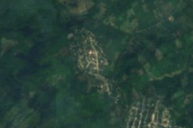
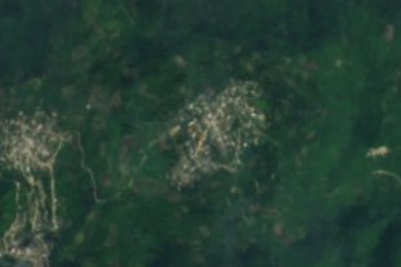
Near Tamoyón I






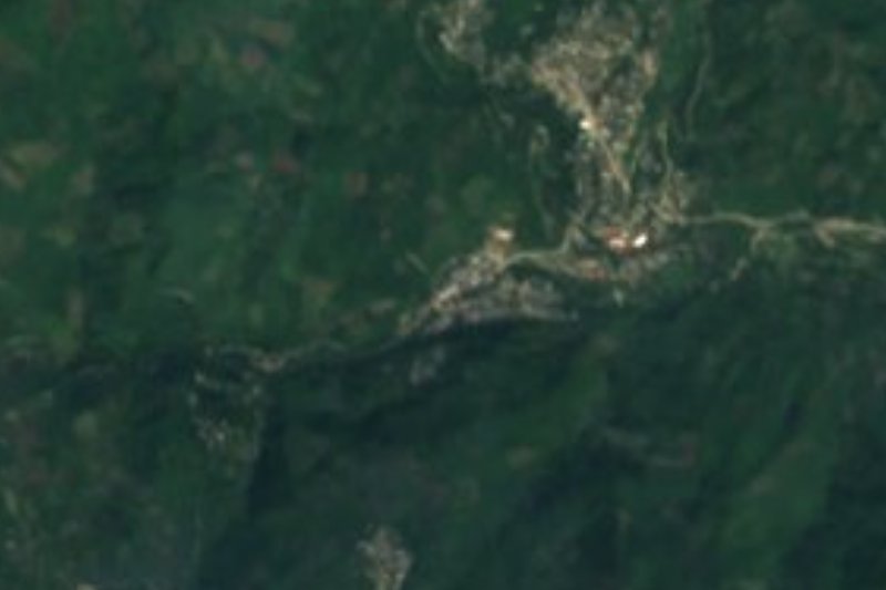


Drive times by road from OpenStreetMap, without traffic. Times marked ~ are estimated from the straight-line distance.
Location from OpenStreetMap. Written by Puebloteca.