Village Ixhuatlán de Madero, Veracruz Huasteca Veracruzana
Nahua village of the Veracruz Huasteca on the Álamo–Huejutla highway; Sacred Heart feast in June and huapango music in December.
From Tulancingo: about 1 h 40 min by road (~110 km) How to get there ↓
Near here
See everything nearby ↓


Plan your visit to Colatlán
Where to stay near Colatlán
Compare hotels, posadas and guest houses in Colatlán.
Tours to Colatlán
Day trips and guided outings from Xicotepec often include Colatlán; with a local guide you can get there without a car.
How to get to Colatlán
- From Tulancingo: about 1 h 40 min by road (~110 km)
- Nearest airport: Poza Rica (PAZ), 2 h 7 min by car to Xicotepec
Links open a partner site. We may earn a commission if you book, at no cost to you.
About Colatlán
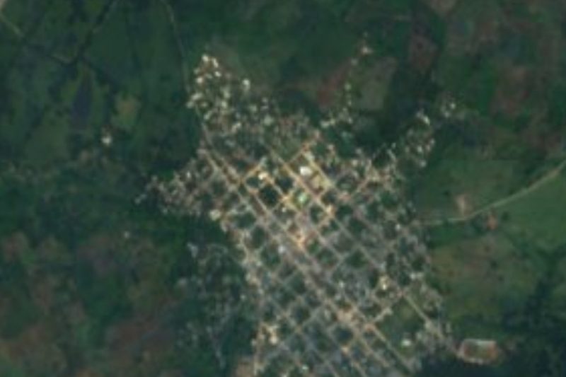
Colatlán is a Nahua village of the Lower Huasteca in the municipality of Ixhuatlán de Madero, at about 300 metres and some 20 km northwest of the municipal seat. It has 1,586 residents (2020) and lies on Federal Highway 127, the road from Álamo to Huejutla in Hidalgo. The name reads as "place of scorpions", from cólotl, scorpion, and tlan; another interpretation takes cólotl as a metaphor for punishment and renders it "where the yoke is". Census numbers have risen and fallen: 2,874 people in 1970, down to 1,344 in 1990; a separate community, Barrio Abajo Colatlán, now sits next to the village.
The place matters to archaeology. Among other finds, a fragment of a stone yoke was found here and is now on display at the Xalapa Anthropology Museum. It is also a place of letters: Juan Hernández Ramírez, poet and storyteller in Nahuatl and Spanish, was born in Colatlán in 1951; he wrote Chikome xochitl (Seven Flower) and Tlatlatok tetl (Burning Stone) and helped translate Veracruz's state constitution into Nahuatl.
The festive year is long. There is a carnival in February or March; the patron feast of the Sacred Heart of Jesus runs from 24 to 26 June; the Day of the Dead takes 30 October to 2 November, and from 26 to 30 December, after the posadas, comes the so-called cascada de huapangos, a run of huapango music and dance. Food includes mole, meatballs, barbacoa and zacahuil, the Huasteca's giant tamal, and embroidery is still practised.
How to get to Colatlán
Colatlán is on Federal Highway 127, Álamo–Huejutla. From the Ixhuatlán de Madero municipal seat it is about 24 km and 25 minutes: head north on Calle Venustiano Carranza for some 13 km to Highway 127, then about 10 km toward Huejutla. From Poza Rica it is about 118 km and just under two hours: Highways 180 and 130 toward Tihuatlán, then the 127 via Álamo and on toward Huejutla. From Xicotepec, the nearest Pueblo Mágico, it is about 126 km and a little over two hours via Highway 130, the 132D Nuevo Necaxa–Tihuatlán toll road and mountain roads. Poza Rica is the nearest city with major bus terminals; we found no published bus or colectivo routes or timetables stopping at Colatlán, so ask in Álamo about services on the Álamo–Huejutla road.
Directions to Colatlán on Google Maps
Distances are in a straight line; the road is usually longer.
Links open a partner site. We may earn a commission if you book, at no cost to you.
From the nearest cities to Colatlán
- Tulancingo · about 110 km by road, ~1 h 40 min
- Tuxpan · 100 km by road, 1 h 50 min
- Poza Rica · 119 km by road, 1 h 55 min
Drive times by road from OpenStreetMap, without traffic or stops. Times marked ~ are estimated from the straight-line distance.
Before you go to Colatlán: hours, prices and tips
- Best time of day
- 24–26 June for the Sacred Heart patron feast, or 26–30 December for the huapango festival. Diccionario Enciclopédico Veracruzano (UV) · checked Oct 2026
Hours and prices change, especially around holidays. Each fact links to where we checked it.
Visiting Colatlán: what to see and do
The Sacred Heart patron feast, 24 to 26 June.
The cascada de huapangos, 26 to 30 December.
The carnival in February or March.
Zacahuil and barbacoa from the Huasteca kitchen.
Embroidery made in the village.
The stone yoke fragment found here, now in the Xalapa Anthropology Museum.
Plan your trip
Places to stay in Colatlán
Compare hotels, posadas, and rentals in and around Colatlán.
Tours & activities
Day trips and guided outings from Xicotepec often include Colatlán; with a local guide you can get there without a car.
Rental cars
Pick up a car at PAZ (Poza Rica): about 2 h 7 min by road to Xicotepec, then 59 km more to Colatlán, on your own schedule.
Flights
The nearest airport with scheduled flights is Poza Rica (PAZ), about 2 h 7 min by road from Xicotepec, the base for Colatlán.
Mobile data
Signal can drop away from Xicotepec: download a map of the way to Colatlán before you set out, or carry an eSIM with data.
Links open a partner site. We may earn a commission if you book, at no cost to you.
When to go to Colatlán mild
Colatlán shares the climate of Xicotepec, 59 km away. The best months to visit are January, February, March, and December.
See the month-by-month climate of Xicotepec
Weather in Colatlán now and the next 7 days
Live forecast from Open-Meteo. Chance of rain is the day's highest.
The closest Pueblo Mágico: Xicotepec

Xicotepec is the Pueblo Mágico closest to Colatlán, with places to stay, food, and more to see.
Also close to
- Pahuatlán · Puebla · 60 km away
- Huauchinango · Puebla · 72 km away
- Metztitlán · Hidalgo · 74 km away
- Acaxochitlán · Hidalgo · 74 km away
Closest to Colatlán
-
Chicontepec · Town · 19 km away
-
Texoloc · Village · 20 km away
-
Zacatipa · Village · 23 km away
-
Huazalinguillo · Village · 25 km away
-
Atlalco · Village · 27 km away
-
Metlaltoyuca · Town · 27 km away
-
Tamoyón I · Village · 28 km away
-
Ayotuxtla · Village · 29 km away


Near Colatlán








Drive times by road from OpenStreetMap, without traffic. Times marked ~ are estimated from the straight-line distance.
Location from OpenStreetMap. Written by Puebloteca.