Town Francisco Z. Mena, Puebla Sierra Norte de Puebla
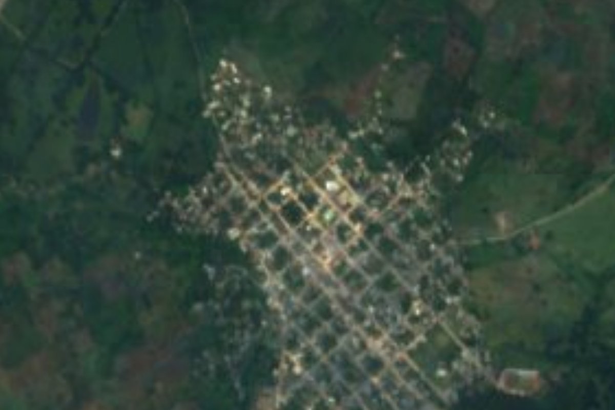
Seat of Puebla's northernmost municipality, on a 326 m mesa next to Veracruz, with Totonac ruins a kilometre from town.
From Poza Rica: 1 h 15 min by car (68 km by road) How to get there ↓
Near here
See everything nearby ↓


Plan your visit to Metlaltoyuca
Where to stay near Metlaltoyuca
Compare hotels, posadas and guest houses in Metlaltoyuca.
Tours to Metlaltoyuca
Day trips around Xicotepec sometimes stop in Metlaltoyuca; a tour is the easy way to see it without a car.
How to get to Metlaltoyuca
- From Poza Rica: about 1 h 15 min by road (~68 km)
- Nearest airport: Poza Rica (PAZ), 2 h 7 min by car to Xicotepec
Links open a partner site. We may earn a commission if you book, at no cost to you.
About Metlaltoyuca
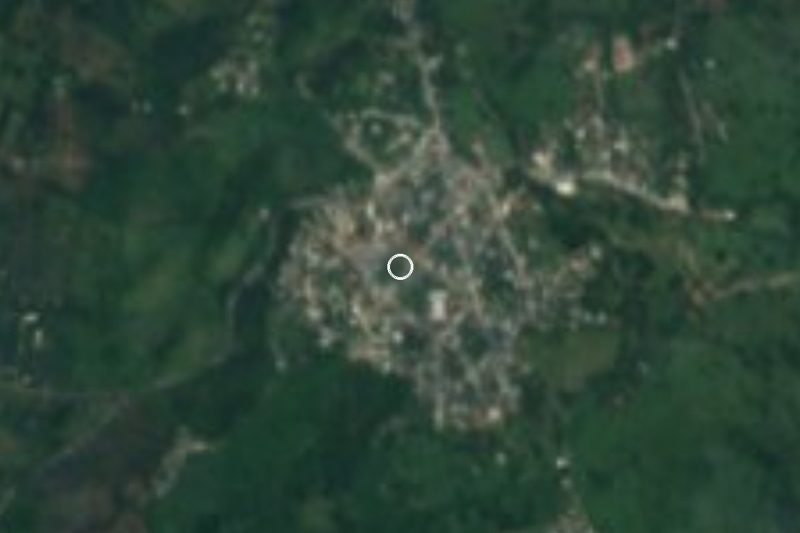
Metlaltoyuca sits at the northern tip of Puebla, where the Sierra Norte is already dropping towards the Veracruz coastal plain. The town occupies a flat mesa, the Mesa de Metlaltoyuca or de Coroneles, which rises about 100 m above the surrounding land; the seat is at 326 m, in the west of Francisco Z. Mena municipality, and covers about 2.5 km². It is hot all year: the mean is 23.5 °C, with some 1,670 mm of rain, mostly in summer. The municipality has the highest average temperature in the state.
In 2020 there were 4,324 residents in 1,304 occupied homes. The Nahuatl name translates as "place full of little metates". The area was Totonac; in the 16th century it answered to Texcoco, in 1522 Spanish encomenderos took it, in 1534 it passed to the Crown and became a corregimiento of Huauchinango. The municipality was created in 1910 and named after General Francisco Z. Mena of León, Guanajuato, who fought the French at Puebla on 5 May 1862 and 2 April 1867.
A kilometre from town are the remains of a stone enclosure attributed to the Totonacs. They are no new find: in the 19th century the engineers Ramón Almaraz and Antonio García Cubas travelled to the "ruins of Metlaltoyuca" and drew a map of that part of the Huauchinango sierra, and Almaraz's commission submitted a report on the lands of the area to the Ministry of Development (Fomento).
The parish church is dedicated to San Isidro Labrador, whose feast on 15 May is celebrated like that of the Virgin of Guadalupe on 12 December: processions, fireworks, brass bands, Quetzalines, Voladores, Tejedores and Huehues dances, jaripeos and charreadas. The cooking here is already Huastec: mole huasteco, beef barbacoa, pipián and tamales, with local aged cheese and cream, jamoncillo and piloncillo. To drink there is cacao and a drink made from jobo, a local tropical fruit, and leatherwork is made in town.
How to get to Metlaltoyuca
Drive from Poza Rica: 1 h 15 min, 68 km
Metlaltoyuca is easier to reach from Veracruz than from the rest of Puebla. From Poza Rica take federal highway 130 towards Tihuatlán, then the road to Castillo de Teayo, and after some 15 km more of Veracruz roads you enter Puebla for the last stretch of about 14 km up to the mesa: about 65 km and 1 h 10 min in all. From Xicotepec, the nearest pueblo mágico, it is about 89 km and 1 h 40 min via federal 130, the 132D Nuevo Necaxa-Tihuatlán toll road and state road 101. From the city of Puebla the municipal profile reckons on about 6 hours of travel. By bus, the practical option is to reach Poza Rica and look there for transport to Metlaltoyuca or Francisco Z. Mena.
Directions to Metlaltoyuca on Google Maps
Distances are in a straight line; the road is usually longer.
Links open a partner site. We may earn a commission if you book, at no cost to you.
From the nearest cities to Metlaltoyuca
- Poza Rica · 68 km by road, 1 h 15 min
- Tuxpan · 78 km by road, 1 h 20 min
- Papantla · 90 km by road, 1 h 35 min
Drive times by road from OpenStreetMap, without traffic or stops. Times marked ~ are estimated from the straight-line distance.
Visiting Metlaltoyuca: what to see and do
The Totonac stone-enclosure ruins, 1 km from town.
The parish church of San Isidro Labrador.
The 15 May fiesta, with Voladores, Quetzalines and jaripeo.
The Metlaltoyuca mesa and its views over the Pantepec river valley.
Aged cheese, leatherwork and mole huasteco.
Plan your trip
Places to stay in Metlaltoyuca
Compare hotels, posadas, and rentals in and around Metlaltoyuca.
Tours & activities
Day trips around Xicotepec sometimes stop in Metlaltoyuca; a tour is the easy way to see it without a car.
Rental cars
Pick up a car at PAZ (Poza Rica): about 2 h 7 min by road to Xicotepec, then 50 km more to Metlaltoyuca, on your own schedule.
Flights
The nearest airport with scheduled flights is Poza Rica (PAZ), about 2 h 7 min by road from Xicotepec, the base for Metlaltoyuca.
Mobile data
Signal can drop away from Xicotepec: download a map of the way to Metlaltoyuca before you set out, or carry an eSIM with data.
Links open a partner site. We may earn a commission if you book, at no cost to you.
When to go to Metlaltoyuca mild
Metlaltoyuca shares the climate of Xicotepec, 50 km away. The best months to visit are January, February, March, and December.
See the month-by-month climate of Xicotepec
Weather in Metlaltoyuca now and the next 7 days
Live forecast from Open-Meteo. Chance of rain is the day's highest.
The closest Pueblo Mágico: Xicotepec

Xicotepec is the Pueblo Mágico closest to Metlaltoyuca, with places to stay, food, and more to see.
Also close to
- Pahuatlán · Puebla · 59 km away
- Papantla · Veracruz · 63 km away
- Huauchinango · Puebla · 66 km away
- Zozocolco · Veracruz · 72 km away
- Acaxochitlán · Hidalgo · 74 km away
Closest to Metlaltoyuca
-
Ameluca · Village · 19 km away
-
Mecapalapa · Village · 23 km away
-
Colatlán · Village · 27 km away
-
Venustiano Carranza · Village · 32 km away
-
Tihuatlán · Town · 33 km away
-
Cristo Redentor · Landmark · 34 km away
-
Ciudad de Lázaro Cárdenas · Town · 35 km away
-
Apapantilla · Village · 37 km away

Near Metlaltoyuca
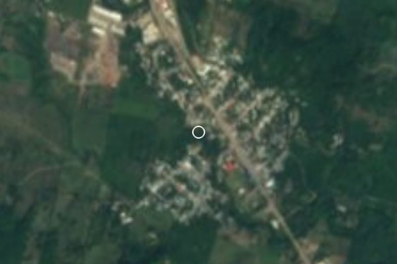





Drive times by road from OpenStreetMap, without traffic. Times marked ~ are estimated from the straight-line distance.
Location from OpenStreetMap. Written by Puebloteca.