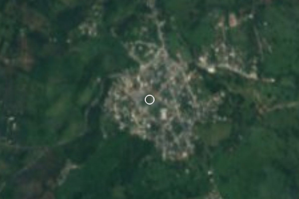
Village Pantepec, Puebla Sierra Norte de Puebla
Tepehua village in Pantepec, northern Puebla: a 18 March San José fair with cattle and clay jars for sale, and fish pascal.
From Poza Rica: 55 min by car (62 km by road) How to get there ↓
Near here
See everything nearby ↓



Plan your visit to Mecapalapa
Where to stay near Mecapalapa
Compare hotels, posadas and guest houses in Mecapalapa.
Tours to Mecapalapa
Day trips and guided outings from Xicotepec often include Mecapalapa; with a local guide you can get there without a car.
How to get to Mecapalapa
- From Poza Rica: about 55 min by road (~62 km)
- Nearest airport: Poza Rica (PAZ), 2 h 7 min by car to Xicotepec
Links open a partner site. We may earn a commission if you book, at no cost to you.
About Mecapalapa
Mecapalapa, in the municipality of Pantepec, is, according to INAFED, more populous than the municipal seat itself; the 2020 census counted 2,968 residents. It lies at the northern tip of Puebla's Sierra Norte, in a coffee-growing municipality that borders Veracruz and Hidalgo. The Nahuatl name combines mecatl (rope), palli (wide) and apan (river): "river of the wide ropes".
What sets it apart is its people. Mecapalapa marks the Puebla end of Tepehua country, a long, narrow strip on the eastern slopes of the Sierra Madre that continues into north-western Veracruz. Tepehua belongs to the Totonacan family, related to Totonac, and its Huehuetla variety is also spoken here. Totonac and Otomí communities share the municipality, each with its own cooking: fish pascal, a Tepehua dish, is the signature of Mecapalapa, where zacahuil is eaten too.
The date to know is 18 March, the eve of San José, when the village holds its religious fair, with cattle trading and stalls selling pottery, especially big clay water jars (tinajas). Dancers perform the Santiagos, Negritos and Huehues, there is a jaripeo (bull riding), and rockets and fireworks go up. Huapango is the traditional music of the area.
How to get to Mecapalapa
Drive from Poza Rica: 55 min, 62 km
The nearest city is Poza Rica: about 61 km and 55 minutes on federal highway 130 (Pachuca–Tuxpan) then onto the 132D toll road (Nuevo Necaxa–Tihuatlán); leave at the Pantepec exit and follow state road PUE-101 for about 8 km to Mecapalapa. Xicotepec, the area's Pueblo Mágico, is about 60 km or an hour's drive on highway 130 and the same 132D. Between Mecapalapa and the municipal seat, Pantepec, the PUE-101 (Mecapalapa–Pantepec road) runs about 14 km. For public transport ask in Pantepec; no timetables are published.
Directions to Mecapalapa on Google Maps
Distances are in a straight line; the road is usually longer.
Links open a partner site. We may earn a commission if you book, at no cost to you.
From the nearest cities to Mecapalapa
- Poza Rica · 62 km by road, 55 min
- Huauchinango · 63 km by road, 55 min
- Tuxpan · 81 km by road, 1 h
Drive times by road from OpenStreetMap, without traffic or stops. Times marked ~ are estimated from the straight-line distance.
Before you go to Mecapalapa: hours, prices and tips
- Best season
- San José fair on 18 March. INAFED, Enciclopedia de los Municipios: Pantepec · checked Oct 2026
Hours and prices change, especially around holidays. Each fact links to where we checked it.
Visiting Mecapalapa: what to see and do
The San José religious fair on 18 March, with cattle trading and clay water jars for sale.
Santiagos, Negritos and Huehues dances and a jaripeo during the fair.
Fish pascal, the village's Tepehua dish, and zacahuil.
Huapango, the traditional music of the region.
The Feria de la Tinaja during Holy Week in the municipal seat, Pantepec, about 14 km away.
Plan your trip
Places to stay in Mecapalapa
Compare hotels, posadas, and rentals in and around Mecapalapa.
Tours & activities
Day trips and guided outings from Xicotepec often include Mecapalapa; with a local guide you can get there without a car.
Rental cars
Pick up a car at PAZ (Poza Rica): about 2 h 7 min by road to Xicotepec, then 28 km more to Mecapalapa, on your own schedule.
Flights
The nearest airport with scheduled flights is Poza Rica (PAZ), about 2 h 7 min by road from Xicotepec, the base for Mecapalapa.
Mobile data
Signal can drop away from Xicotepec: download a map of the way to Mecapalapa before you set out, or carry an eSIM with data.
Links open a partner site. We may earn a commission if you book, at no cost to you.
When to go to Mecapalapa mild
Mecapalapa shares the climate of Xicotepec, 28 km away. The best months to visit are January, February, March, and December.
See the month-by-month climate of Xicotepec
Weather in Mecapalapa now and the next 7 days
Live forecast from Open-Meteo. Chance of rain is the day's highest.
The closest Pueblo Mágico: Xicotepec

Xicotepec is the Pueblo Mágico closest to Mecapalapa, with places to stay, food, and more to see.
Also close to
- Pahuatlán · Puebla · 41 km away
- Huauchinango · Puebla · 44 km away
- Zozocolco · Veracruz · 51 km away
- Acaxochitlán · Hidalgo · 55 km away
- Papantla · Veracruz · 56 km away
Closest to Mecapalapa
-
Ameluca · Village · 5 km away
-
Apapantilla · Village · 14 km away
-
Villa Ávila Camacho (La Ceiba) · Town · 16 km away
-
Ciudad de Lázaro Cárdenas · Town · 18 km away
-
Venustiano Carranza · Village · 20 km away
-
La Lagunilla · Village · 21 km away
-
Tlaxco · Village · 21 km away
-
Metlaltoyuca · Town · 23 km away
Near Mecapalapa





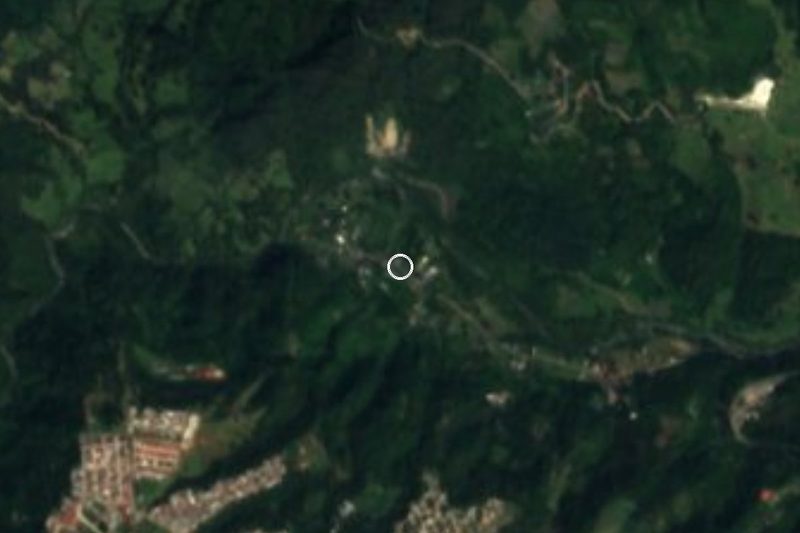

Drive times by road from OpenStreetMap, without traffic. Times marked ~ are estimated from the straight-line distance.
Location from OpenStreetMap. Written by Puebloteca.