
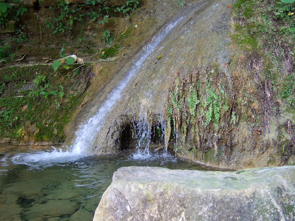
Village Jalpan, Puebla Sierra Norte de Puebla
Village of Jalpan in the lowlands of the Sierra Norte at about 260 m, between Hidalgo and Veracruz; its name means "bottom of the river".
From Huauchinango: 45 min by car (51 km by road) How to get there ↓
Near here
See everything nearby ↓

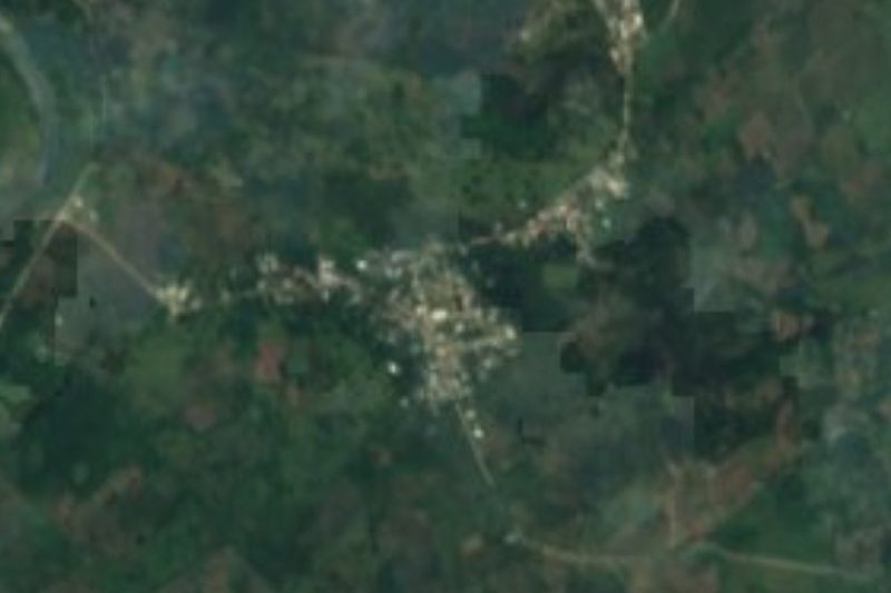
Plan your visit to Apapantilla
Where to stay near Apapantilla
Compare hotels, posadas and guest houses in Apapantilla.
Tours to Apapantilla
Day trips and guided outings from Xicotepec often include Apapantilla; with a local guide you can get there without a car.
How to get to Apapantilla
- From Huauchinango: about 45 min by road (~51 km)
- Nearest airport: Poza Rica (PAZ), 2 h 7 min by car to Xicotepec
Links open a partner site. We may earn a commission if you book, at no cost to you.
About Apapantilla
Apapantilla is a community in the municipality of Jalpan in Puebla's Sierra Norte. The name comes from the Nahuatl apan, river, and tlilatl, abyss or water hole: "bottom of the river". It stands at about 260 m, in the warm lowlands of the state's north, and had 2,032 people in 2020, more than many municipal seats in the sierra.
The municipality of Jalpan, "on the sand of the hill", was home before the Conquest to Totonac and Otomí groups who paid tribute to the lordship of Texcoco. In the 19th century it belonged to the district of Huauchinango. It became a free municipality in 1895, lost that status in 1951 to become a mere village, and was restored as a municipality in 1960.
The municipality, about 206 km², lies at the northern tip of Puebla in a wedge between two states: it borders Pantepec to the north, Tlacuilotepec and Xicotepec to the south, Veracruz to the east and Hidalgo to the west. Apapantilla is about 43 km in a straight line from Poza Rica, the nearest large city, and about 17 km from the Pueblo Mágico of Xicotepec.
How to get to Apapantilla
Drive from Huauchinango: 45 min, 51 km
Apapantilla lies in the municipality of Jalpan at the northern tip of Puebla, between Hidalgo and Veracruz. Poza Rica, Veracruz, is about 43 km away in a straight line, and the Pueblo Mágico of Xicotepec de Juárez about 17 km. Puebla city is about 156 km away in a straight line.
Directions to Apapantilla on Google Maps
Distances are in a straight line; the road is usually longer.
Links open a partner site. We may earn a commission if you book, at no cost to you.
From the nearest cities to Apapantilla
- Huauchinango · 51 km by road, 45 min
- Poza Rica · 56 km by road, 55 min
- Papantla · 71 km by road, 1 h 10 min
Drive times by road from OpenStreetMap, without traffic or stops. Times marked ~ are estimated from the straight-line distance.
Visiting Apapantilla: what to see and do
The warm lowland landscape of northern Puebla.
The river that gives the village its name.
Pair it with Xicotepec de Juárez, about 17 km away.
Plan your trip
Places to stay in Apapantilla
Compare hotels, posadas, and rentals in and around Apapantilla.
Tours & activities
Day trips and guided outings from Xicotepec often include Apapantilla; with a local guide you can get there without a car.
Rental cars
Pick up a car at PAZ (Poza Rica): about 2 h 7 min by road to Xicotepec, then 17 km more to Apapantilla, on your own schedule.
Flights
The nearest airport with scheduled flights is Poza Rica (PAZ), about 2 h 7 min by road from Xicotepec, the base for Apapantilla.
Mobile data
Signal can drop away from Xicotepec: download a map of the way to Apapantilla before you set out, or carry an eSIM with data.
Links open a partner site. We may earn a commission if you book, at no cost to you.
When to go to Apapantilla mild
Apapantilla shares the climate of Xicotepec, 17 km away. The best months to visit are January, February, March, and December.
See the month-by-month climate of Xicotepec
Weather in Apapantilla now and the next 7 days
Live forecast from Open-Meteo. Chance of rain is the day's highest.
The closest Pueblo Mágico: Xicotepec

Xicotepec is the Pueblo Mágico closest to Apapantilla, with places to stay, food, and more to see.
Also close to
- Huauchinango · Puebla · 33 km away
- Pahuatlán · Puebla · 35 km away
- Zozocolco · Veracruz · 40 km away
- Acaxochitlán · Hidalgo · 46 km away
- Zacatlán · Puebla · 54 km away
Closest to Apapantilla
-
Villa Ávila Camacho (La Ceiba) · Town · 4 km away
-
Tlaxcalantongo · Town · 10 km away
-
Mecapalapa · Village · 14 km away
-
Ciudad de Lázaro Cárdenas · Town · 16 km away
-
La Lagunilla · Village · 16 km away
-
Ameluca · Village · 18 km away
-
Chicontla · Village · 18 km away
-
Zihuateutla · Village · 18 km away
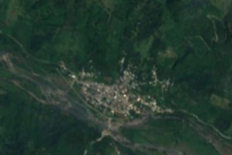

Near Apapantilla






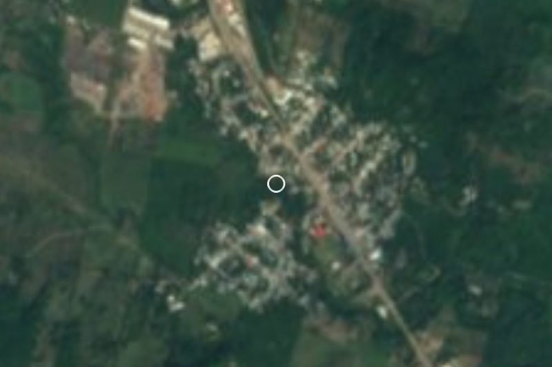

Drive times by road from OpenStreetMap, without traffic. Times marked ~ are estimated from the straight-line distance.
Location from OpenStreetMap. Written by Puebloteca.