Village Tlaola, Puebla Municipality of Tlaola Sierra Norte de Puebla
Tlaola's most populous locality, in the rain-soaked Sierra Norte 8 km from Huauchinango; it lives from farming and growing flowers.
From Huauchinango: 20 min by car (16 km by road) How to get there ↓
Near here
See everything nearby ↓


Plan your visit to Xaltepuxtla
Where to stay near Xaltepuxtla
Compare hotels, posadas and guest houses in Xaltepuxtla.
Tours to Xaltepuxtla
Day trips and guided outings from Huauchinango often include Xaltepuxtla; with a local guide you can get there without a car.
How to get to Xaltepuxtla
- From Huauchinango: about 20 min by road (~16 km)
- Nearest airport: Poza Rica (PAZ), 1 h 59 min by car to Huauchinango
Links open a partner site. We may earn a commission if you book, at no cost to you.
About Xaltepuxtla
Xaltepuxtla has more people than its own municipal seat: with 3,484 residents in 2020 it is the largest of the 42 localities that make up Tlaola. It lies about 6 km from the seat and only 8 km in a straight line from Huauchinango, on a Sierra Norte hillside at about 1,330 m, and its people live mainly from farming and flower growing. Flowers take on a special role in early November, when Day of the Dead altars across the municipality are dressed with floral arrangements on the 1st and 2nd. Tulancingo, over the line in Hidalgo, is 42 km away.
Tlaola covers just over 108 km² in the north-west of the state, between Huauchinango, Chiconcuautla, Ahuacatlán, Tlapacoya, Jopala and Zihuateutla. Its first settlers were Totonac and Otomí people, conquered by the Triple Alliance and made tributaries of Texcoco; after the Spanish conquest the land was handed out in encomienda, by around 1750 it answered to the parish of Zacatlán, in the 19th century it belonged to the Huauchinango district, and in 1895 it became a free municipality. The seat keeps its 16th-century parish church of San Pedro. From 13 to 15 August the municipality honours the Virgin of the Assumption with processions, a jaripeo, brass bands, fireworks and the dances of the quetzales, voladores, tejedores and huehues. More than ten thousand people in Tlaola speak an indigenous language, including Nahuatl, Totonac and Mazatec.
It rains here all year, 2,400 to 2,600 mm, with a semi-warm, humid climate averaging 16 to 20 °C. The water drains to the Necaxa River and, to a lesser extent, the Laxaxalpan, both in the Tecolutla basin, and year-round streams such as the Acatlán, Nexapa, Tecpatlan and Zempoala cross the municipality. More than half the land is farmed and almost a third is still forest, with oak and pine along the rivers. Local cooking means mole poblano, bean tamales and chileatole, washed down with coffee and water-based chocolate.
How to get to Xaltepuxtla
Drive from Huauchinango: 20 min, 16 km
The gateway is Huauchinango, 8 km away in a straight line. From Puebla's CAPU, ATAH runs to Huauchinango every four hours (about 2 h 45 min) and ADO four times a day; by road it is about 145 km. From Huauchinango continue towards Tlaola by local transport or taxi; we found no published combi timetables.
Directions to Xaltepuxtla on Google Maps
Distances are in a straight line; the road is usually longer.
Links open a partner site. We may earn a commission if you book, at no cost to you.
From the nearest cities to Xaltepuxtla
- Huauchinango · 16 km by road, 20 min
- Tulancingo · 60 km by road, 50 min
- Teziutlán · about 100 km by road, ~1 h 25 min
Drive times by road from OpenStreetMap, without traffic or stops. Times marked ~ are estimated from the straight-line distance.
Visiting Xaltepuxtla: what to see and do
Xaltepuxtla's flower fields.
The flower-dressed Day of the Dead altars on 1 and 2 November.
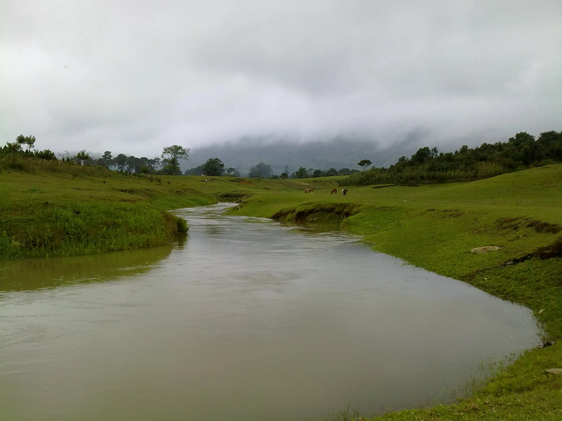
The Papatlazolco River and the pastures around the village.
The 16th-century parish church of San Pedro in Tlaola.
Huauchinango, 8 km away.
Plan your trip
Places to stay in Xaltepuxtla
Compare hotels, posadas, and rentals in and around Xaltepuxtla.
Tours & activities
Day trips and guided outings from Huauchinango often include Xaltepuxtla; with a local guide you can get there without a car.
Rental cars
Pick up a car at PAZ (Poza Rica): about 1 h 59 min by road to Huauchinango, then 8 km more to Xaltepuxtla, on your own schedule.
Flights
The nearest airport with scheduled flights is Poza Rica (PAZ), about 1 h 59 min by road from Huauchinango, the base for Xaltepuxtla.
Mobile data
Signal can drop away from Huauchinango: download a map of the way to Xaltepuxtla before you set out, or carry an eSIM with data.
Links open a partner site. We may earn a commission if you book, at no cost to you.
When to go to Xaltepuxtla mild
Xaltepuxtla shares the climate of Huauchinango, 8 km away. The best months to visit are January, February, March, and December.
See the month-by-month climate of Huauchinango
Weather in Xaltepuxtla now and the next 7 days
Live forecast from Open-Meteo. Chance of rain is the day's highest.
The closest Pueblo Mágico: Huauchinango

Huauchinango is the Pueblo Mágico closest to Xaltepuxtla, with places to stay, food, and more to see.
Also close to
- Xicotepec · Puebla · 14 km away
- Pahuatlán · Puebla · 22 km away
- Acaxochitlán · Hidalgo · 24 km away
- Zacatlán · Puebla · 27 km away
- Chignahuapan · Puebla · 39 km away
Closest to Xaltepuxtla
-
Las Colonias de Hidalgo · Village · 2 km away
-
Papatlazolco · Village · 2 km away
-
Presa Nexapa · Lake · 2 km away
-
Tenango de las Flores · Town · 4 km away
-
Chicahuaxtla · Village · 5 km away
-
Presa Necaxa · Lake · 5 km away
-
Ahuacatlán · Village · 6 km away
-
Tlaola · Village · 7 km away
Near Xaltepuxtla

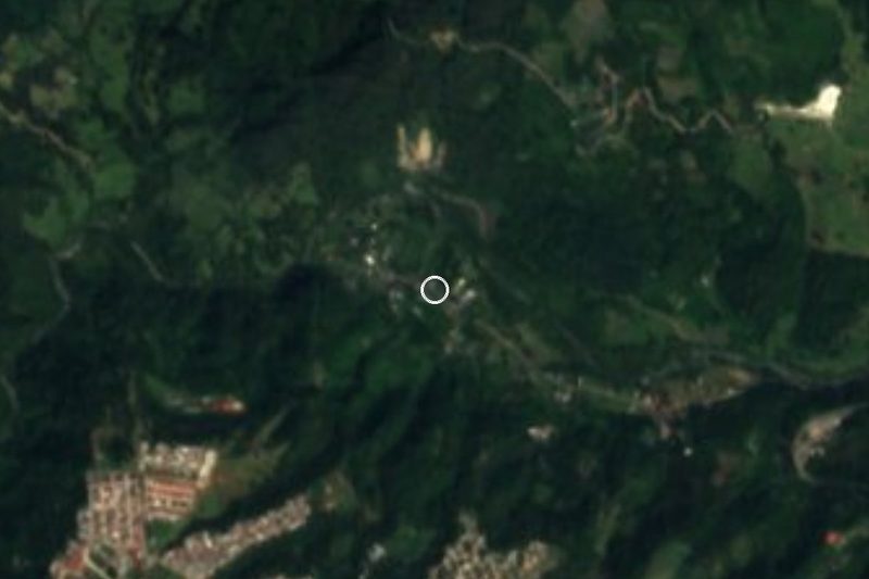
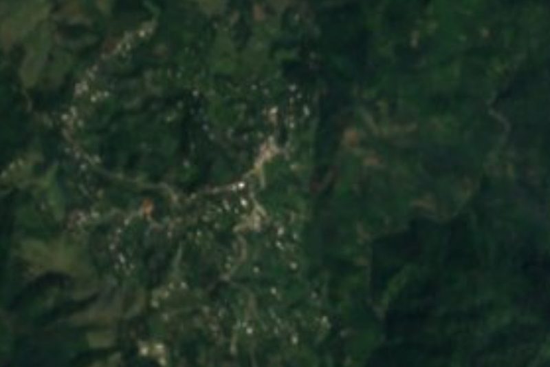
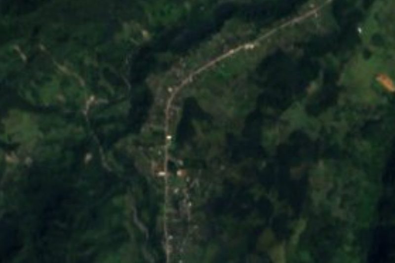
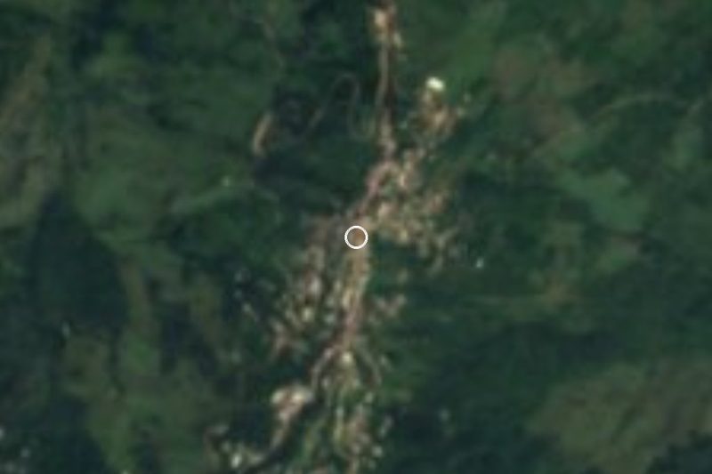
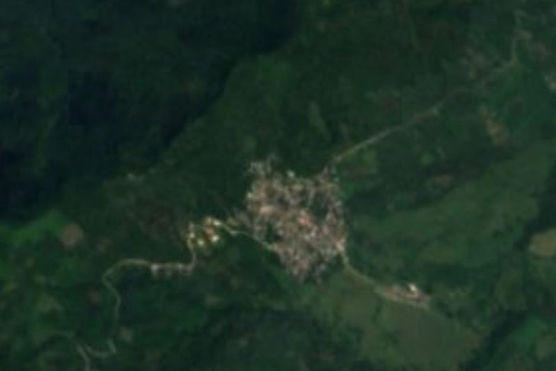


Drive times by road from OpenStreetMap, without traffic. Times marked ~ are estimated from the straight-line distance.
Location from OpenStreetMap. Written by Puebloteca.