Village Huauchinango, Puebla Municipality of Huauchinango Sierra Norte de Puebla
Huauchinango subdivision in the Sierra Norte, set between the Tenango and Nexapa reservoirs.
From Huauchinango: 25 min by car (13 km by road) How to get there ↓
Near here
See everything nearby ↓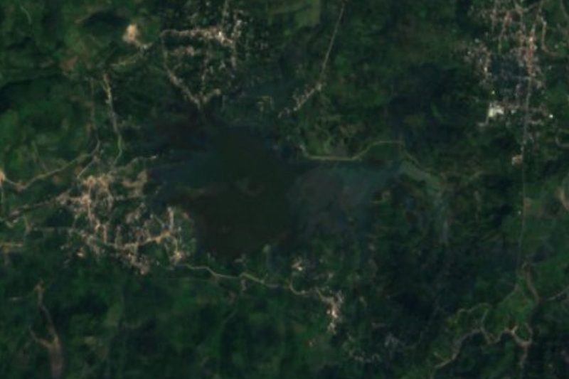



Plan your visit to Papatlazolco
Where to stay near Papatlazolco
Compare hotels, posadas and guest houses in Papatlazolco.
Tours to Papatlazolco
Day trips and guided outings from Huauchinango often include Papatlazolco; with a local guide you can get there without a car.
How to get to Papatlazolco
- From Huauchinango: about 25 min by road (~13 km)
- Nearest airport: Poza Rica (PAZ), 1 h 59 min by car to Huauchinango
Links open a partner site. We may earn a commission if you book, at no cost to you.
About Papatlazolco
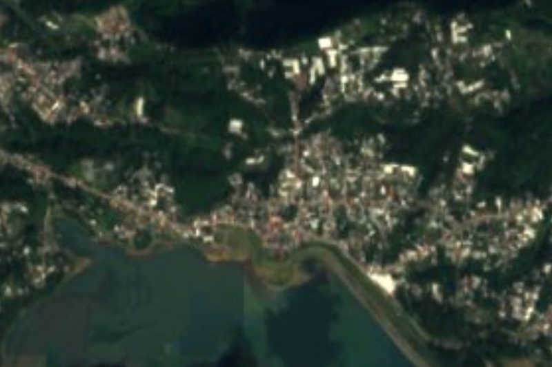
Papatlazolco is one of the 26 juntas auxiliares of the municipality of Huauchinango, in Puebla's Sierra Norte. It lies in the centre-east of the municipal territory at roughly 1,300 metres above sea level, and its name is Nahuatl, a language still spoken by about 24,600 people in the municipality. The 2020 census counted 2,276 residents, 1,198 women and 1,078 men.
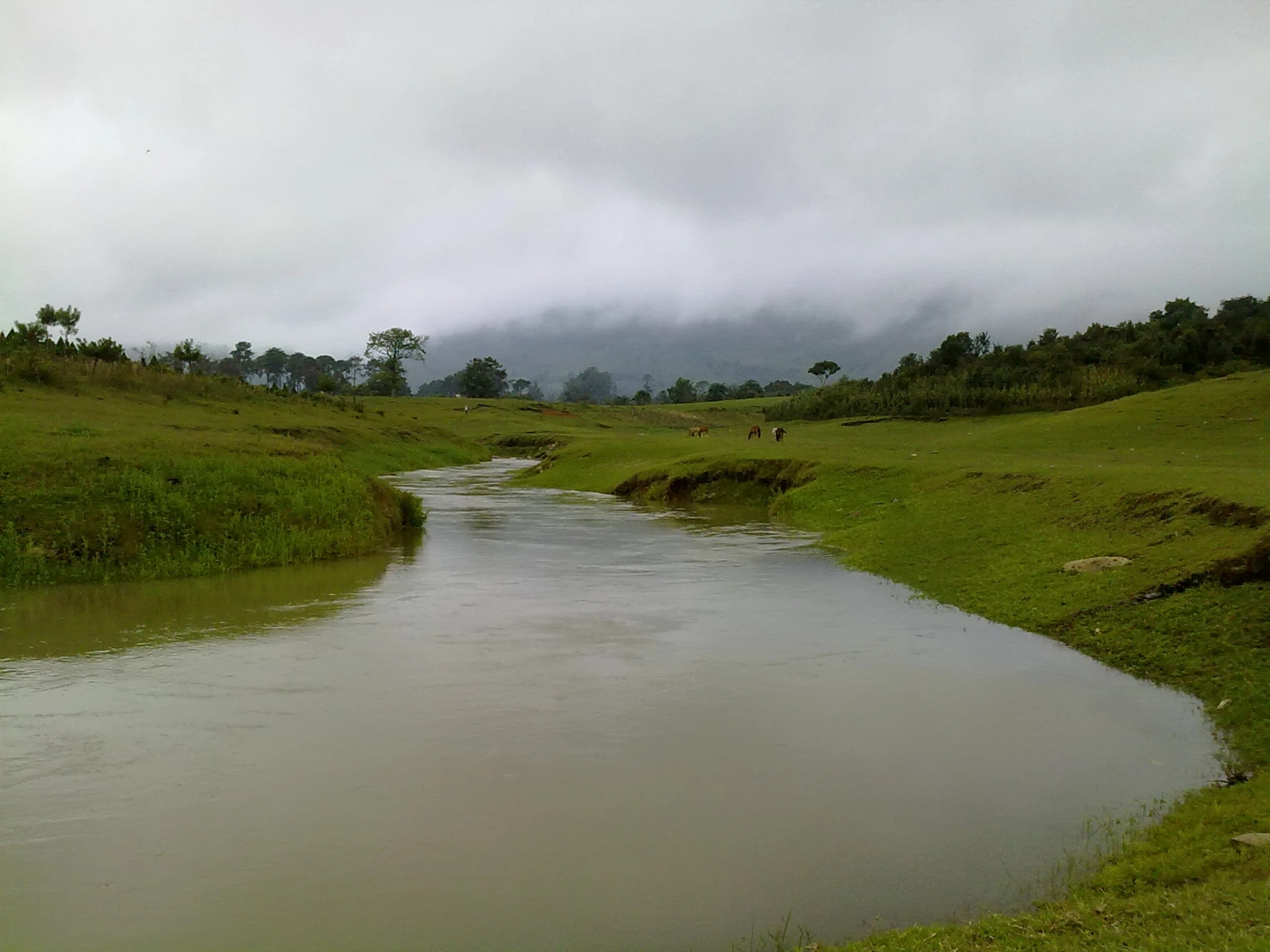
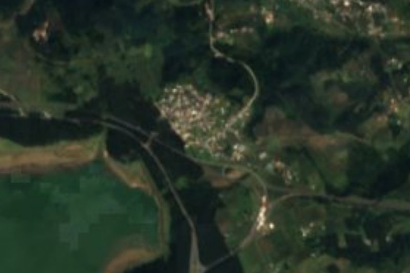
Water is what places it on the map. To the north, next to Tenango de las Flores, lies the Tenango reservoir, where people go out in rowboats and where scenes of the 1957 film Tizoc, one of Pedro Infante's last, were shot. To the south, already inside Tlaola municipality, sits the Nexapa reservoir. Papatlazolco occupies the ridge country between the two, and a river that carries the village's name runs through it; photographs of it are on Wikimedia Commons.
The surroundings are wet mountain country: the municipality climbs from about 600 up to 2,700 metres, so vegetation and temperature change within a few kilometres. The municipal seat, Huauchinango, lies about 6 km away as the crow flies. Come unhurried, prepared to wander mountain lanes and look over the reservoirs rather than expecting a single headline monument.
How to get to Papatlazolco
Drive from Huauchinango: 25 min, 13 km
Papatlazolco is reached through Huauchinango, the gateway to the whole area. From Mexico City, buses leave the Norte terminal roughly hourly (about 2.5 hours); from Puebla, Futura and ADO run several services a day out of CAPU. Huauchinango's bus station sits on the México-Tuxpan bypass at km 192, on highway 130. From there Papatlazolco is about 6 km in a straight line, estimated 5 to 10 minutes in a straight line, longer by road; the taxi stand beside the main square will quote you a fare. No fixed timetable is published for local transport to the village: ask at the taxi stand or the terminal about minibuses leaving during the day. The Tenango reservoir lies north of the village and the Nexapa reservoir to the south, so either works as a landmark when asking the way.
Directions to Papatlazolco on Google Maps
Distances are in a straight line; the road is usually longer.
Links open a partner site. We may earn a commission if you book, at no cost to you.
From the nearest cities to Papatlazolco
- Huauchinango · 13 km by road, 25 min
- Tulancingo · 57 km by road, 1 h
- Teziutlán · about 100 km by road, ~1 h 30 min
Drive times by road from OpenStreetMap, without traffic or stops. Times marked ~ are estimated from the straight-line distance.
Visiting Papatlazolco: what to see and do
The Papatlazolco river, the watercourse that shapes the village's scenery
Tenango reservoir to the north, with rowboat rides
Nexapa reservoir to the south, at the Tlaola boundary
Huauchinango's centre and Santo Entierro sanctuary, a few kilometres away
Plan your trip
Places to stay in Papatlazolco
Compare hotels, posadas, and rentals in and around Papatlazolco.
Tours & activities
Day trips and guided outings from Huauchinango often include Papatlazolco; with a local guide you can get there without a car.
Rental cars
Pick up a car at PAZ (Poza Rica): about 1 h 59 min by road to Huauchinango, then 6 km more to Papatlazolco, on your own schedule.
Flights
The nearest airport with scheduled flights is Poza Rica (PAZ), about 1 h 59 min by road from Huauchinango, the base for Papatlazolco.
Mobile data
Signal can drop away from Huauchinango: download a map of the way to Papatlazolco before you set out, or carry an eSIM with data.
Links open a partner site. We may earn a commission if you book, at no cost to you.
When to go to Papatlazolco mild
Papatlazolco shares the climate of Huauchinango, 6 km away. The best months to visit are January, February, March, and December.
See the month-by-month climate of Huauchinango
Weather in Papatlazolco now and the next 7 days
Live forecast from Open-Meteo. Chance of rain is the day's highest.
The closest Pueblo Mágico: Huauchinango

Huauchinango is the Pueblo Mágico closest to Papatlazolco, with places to stay, food, and more to see.
Also close to
- Xicotepec · Puebla · 14 km away
- Pahuatlán · Puebla · 20 km away
- Acaxochitlán · Hidalgo · 22 km away
- Zacatlán · Puebla · 27 km away
- Chignahuapan · Puebla · 38 km away
Closest to Papatlazolco
-
Presa Nexapa · Lake · 1 km away
-
Xaltepuxtla · Village · 2 km away
-
Las Colonias de Hidalgo · Village · 3 km away
-
Tenango de las Flores · Town · 3 km away
-
Ahuacatlán · Village · 5 km away
-
Presa Necaxa · Lake · 5 km away
-
Chicahuaxtla · Village · 6 km away
-
Cascada de Totolapa · Waterfall · 7 km away
Near Papatlazolco



Drive times by road from OpenStreetMap, without traffic. Times marked ~ are estimated from the straight-line distance.
Location from OpenStreetMap. Written by Puebloteca.