

Village Zacatlán, Puebla Municipality of Zacatlán Sierra Norte de Puebla
A Nahua village in the northern sierra, in Zacatlán, with a wet climate and coffee plots; a dirt road links it to the inter-sierra highway.
From Papantla: about 1 h 25 min by road (~95 km) How to get there ↓
Near here
See everything nearby ↓
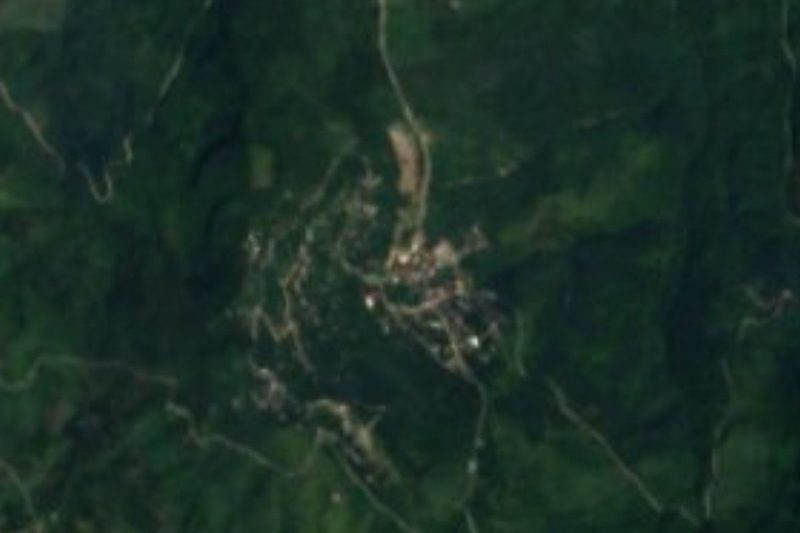
Plan your visit to San Cristóbal Xochimilpa
Where to stay near San Cristóbal Xochimilpa
Compare hotels, posadas and guest houses in San Cristóbal Xochimilpa.
Tours to San Cristóbal Xochimilpa
Day trips and guided outings from Zacatlán often include San Cristóbal Xochimilpa; with a local guide you can get there without a car.
How to get to San Cristóbal Xochimilpa
- From Papantla: about 1 h 25 min by road (~95 km)
- Nearest airport: Poza Rica (PAZ), 1 h 45 min by car to Zacatlán
Links open a partner site. We may earn a commission if you book, at no cost to you.
About San Cristóbal Xochimilpa
Xochimilpa lies in the northern sierra of Puebla, in Zacatlán municipality, and ranks twelfth by population among the municipality's localities: 1,138 people in 2020, up from 1,077 in 2010. Nearly everyone identifies as indigenous (98.8% in 2010) and Nahuatl remains the community's language. The patron is San Cristóbal, and its church is the building that stands for the village in Wikimedia Commons photographs.
The climate is semi-warm and sub-humid, averaging 16 to 20 °C with 1,200 to 2,500 mm of rain. It rains all year, with the heavy season from June to October, and in winter fog settles over the sierra. The area is exposed to storms and to hurricanes arriving from the Gulf of Mexico. Coffee is among the crops grown, and getting it out of the village is hard because the main dirt road is in poor condition.
Community life is organised around an auxiliary president, a secretary, a treasurer and four councillors, indigenous authorities elected every three years with little party influence. Municipal assessments also point to shortfalls in education, income, housing and services, and illiteracy above 30% among people over 15.
How to get to San Cristóbal Xochimilpa
Xochimilpa is about 16 km south of Zacatlán in a straight line (approx. 20 minutes, though the real road through the sierra is longer and slower) and about 48 km from Tulancingo. You reach it from the inter-sierra highway, where a dirt road runs to the village; that road is the community's main route and is in poor condition, so a high-clearance vehicle and the dry season are advisable, since it rains all year and hardest from June to October. No public transport timetable is published for the village. From the Zacatlán terminal you can ask about pickups or taxis heading that way; from Puebla, buses to Zacatlán leave from the CAPU, and from Mexico City from TAPO and the Norte terminal.
Directions to San Cristóbal Xochimilpa on Google Maps
Distances are in a straight line; the road is usually longer.
Links open a partner site. We may earn a commission if you book, at no cost to you.
From the nearest cities to San Cristóbal Xochimilpa
- Papantla · about 95 km by road, ~1 h 25 min
- Huauchinango · 77 km by road, 1 h 35 min
- Tulancingo · 91 km by road, 1 h 45 min
Drive times by road from OpenStreetMap, without traffic or stops. Times marked ~ are estimated from the straight-line distance.
Visiting San Cristóbal Xochimilpa: what to see and do
The church of San Cristóbal in the centre of the village.
The coffee and farm plots on the sierra slopes.
The winter fog over the hills.
The dirt road down to the inter-sierra highway, with views across the sierra.
Plan your trip
Places to stay in San Cristóbal Xochimilpa
Compare hotels, posadas, and rentals in and around San Cristóbal Xochimilpa.
Tours & activities
Day trips and guided outings from Zacatlán often include San Cristóbal Xochimilpa; with a local guide you can get there without a car.
Rental cars
Pick up a car at PAZ (Poza Rica): about 1 h 45 min by road to Zacatlán, then 16 km more to San Cristóbal Xochimilpa, on your own schedule.
Flights
The nearest airport with scheduled flights is Poza Rica (PAZ), about 1 h 45 min by road from Zacatlán, the base for San Cristóbal Xochimilpa.
Mobile data
Signal can drop away from Zacatlán: download a map of the way to San Cristóbal Xochimilpa before you set out, or carry an eSIM with data.
Links open a partner site. We may earn a commission if you book, at no cost to you.
When to go to San Cristóbal Xochimilpa cool
San Cristóbal Xochimilpa shares the climate of Zacatlán, 16 km away. The best months to visit are February, March, April, and May.
See the month-by-month climate of Zacatlán
Weather in San Cristóbal Xochimilpa now and the next 7 days
Live forecast from Open-Meteo. Chance of rain is the day's highest.
The closest Pueblo Mágico: Zacatlán

Zacatlán is the Pueblo Mágico closest to San Cristóbal Xochimilpa, with places to stay, food, and more to see.
Also close to
- Huauchinango · Puebla · 19 km away
- Xicotepec · Puebla · 27 km away
- Chignahuapan · Puebla · 29 km away
- Tetela de Ocampo · Puebla · 30 km away
- Acaxochitlán · Hidalgo · 32 km away
Closest to San Cristóbal Xochimilpa
-
Chiconcuautla · Village · 5 km away
-
Tlacotepec · Village · 6 km away
-
Tlaola · Village · 8 km away
-
Chicahuaxtla · Village · 9 km away
-
Tlaltepango · Village · 9 km away
-
Tlapacoya · Village · 9 km away
-
Benito Juárez · Village · 10 km away
-
Zempoala · Village · 10 km away

Near San Cristóbal Xochimilpa





Drive times by road from OpenStreetMap, without traffic. Times marked ~ are estimated from the straight-line distance.
Location from OpenStreetMap. Written by Puebloteca.