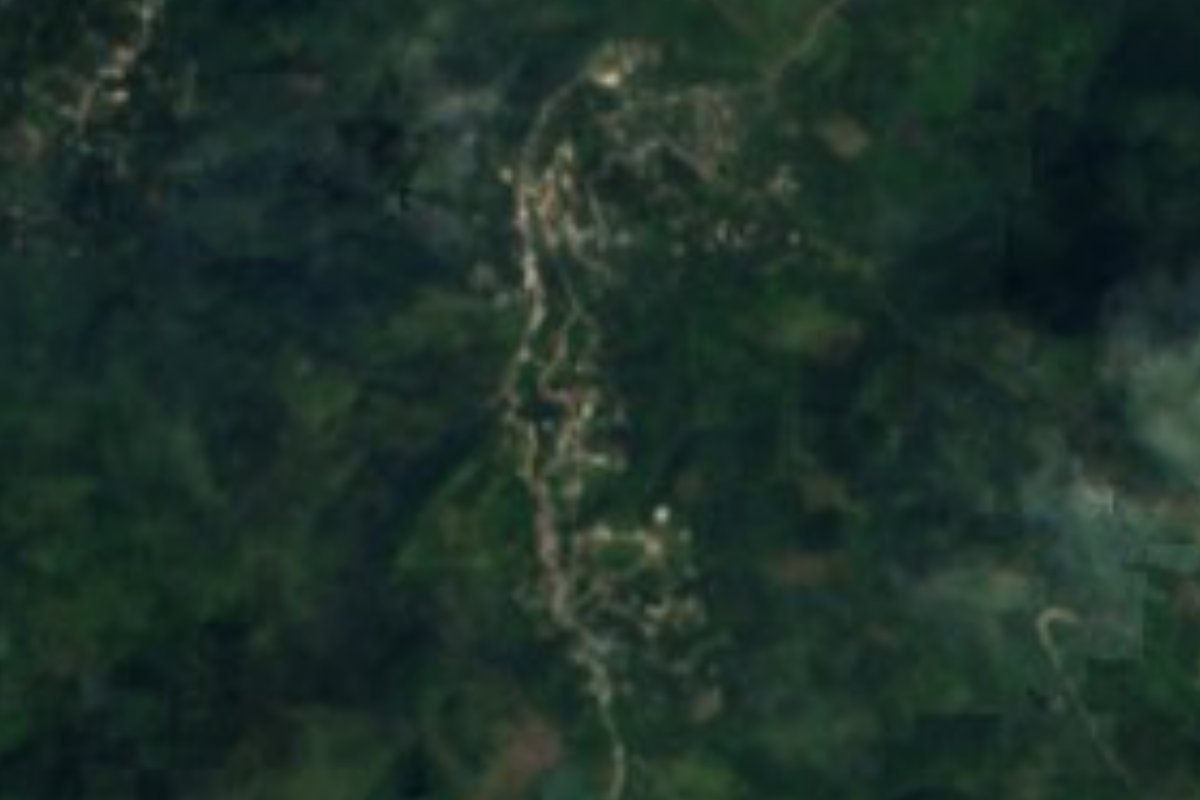
Village Tlaola, Puebla Municipality of Tlaola Sierra Norte de Puebla
Village of Tlaola, "at the edge of the land", in the Sierra Norte, one of the rainiest parts of Puebla, in the Necaxa River basin.
From Huauchinango: 1 h 5 min by car (43 km by road) How to get there ↓
Near here
See everything nearby ↓


Plan your visit to Tlaltepango
Where to stay near Tlaltepango
Compare hotels, posadas and guest houses in Tlaltepango.
Tours to Tlaltepango
Day trips and guided outings from Huauchinango often include Tlaltepango; with a local guide you can get there without a car.
How to get to Tlaltepango
- From Huauchinango: about 1 h 5 min by road (~43 km)
- Nearest airport: Poza Rica (PAZ), 1 h 59 min by car to Huauchinango
Links open a partner site. We may earn a commission if you book, at no cost to you.
About Tlaltepango
Tlaltepango joins tlalli, land, tepantli, boundary, and co, place: "at the edge of the land". It is a village of 1,764 people (2020) in the municipality of Tlaola, in Puebla's Sierra Norte, at about 1,290 m and some 19 km from Huauchinango.
It rains a lot here: the municipality gets 2,400 to 2,600 mm a year, with rain in every month, and the climate is semi-warm and humid, averaging 16 to 20 °C. This is high, steep sierra, of Cretaceous and Jurassic limestone and shale with younger volcanic tuff, ranging from 640 to 1,600 m. Almost all the water flows to the Necaxa River sub-basin and on to the Tecolutla, bound for the Gulf; among the streams that never dry up are the Acala, Acatlán, Nexapa, El Salto, Salto de Cuamila, Tecpatlán and Zempoala.
A third of the land is still forest and a little over half is farmed. More than half the municipality's people speak an indigenous language, mainly Nahuatl and Totonac. Tlaltepango shares Tlaola's cooking of bean tamales and chileatole, with coffee from the sierra.
How to get to Tlaltepango
Drive from Huauchinango: 1 h 5 min, 43 km
Tlaltepango lies in the municipality of Tlaola, about 19 km from Huauchinango on mountain roads. From Puebla, reach Huauchinango on the México–Tuxpan highway (about two and a half hours), then continue by car or local transport toward Tlaola.
Directions to Tlaltepango on Google Maps
Distances are in a straight line; the road is usually longer.
Links open a partner site. We may earn a commission if you book, at no cost to you.
From the nearest cities to Tlaltepango
- Huauchinango · 43 km by road, 1 h 5 min
- Teziutlán · about 85 km by road, ~1 h 15 min
- Papantla · about 85 km by road, ~1 h 15 min
Drive times by road from OpenStreetMap, without traffic or stops. Times marked ~ are estimated from the straight-line distance.
Visiting Tlaltepango: what to see and do
The rivers and waterfalls of the Necaxa basin.
The 16th-century parish church of San Pedro in Tlaola.
Huauchinango, about 19 km away.
Plan your trip
Places to stay in Tlaltepango
Compare hotels, posadas, and rentals in and around Tlaltepango.
Tours & activities
Day trips and guided outings from Huauchinango often include Tlaltepango; with a local guide you can get there without a car.
Rental cars
Pick up a car at PAZ (Poza Rica): about 1 h 59 min by road to Huauchinango, then 19 km more to Tlaltepango, on your own schedule.
Flights
The nearest airport with scheduled flights is Poza Rica (PAZ), about 1 h 59 min by road from Huauchinango, the base for Tlaltepango.
Mobile data
Signal can drop away from Huauchinango: download a map of the way to Tlaltepango before you set out, or carry an eSIM with data.
Links open a partner site. We may earn a commission if you book, at no cost to you.
When to go to Tlaltepango mild
Tlaltepango shares the climate of Huauchinango, 19 km away. The best months to visit are January, February, March, and December.
See the month-by-month climate of Huauchinango
Weather in Tlaltepango now and the next 7 days
Live forecast from Open-Meteo. Chance of rain is the day's highest.
The closest Pueblo Mágico: Huauchinango

Huauchinango is the Pueblo Mágico closest to Tlaltepango, with places to stay, food, and more to see.
Also close to
- Xicotepec · Puebla · 20 km away
- Zacatlán · Puebla · 25 km away
- Zozocolco · Veracruz · 30 km away
- Pahuatlán · Puebla · 32 km away
- Acaxochitlán · Hidalgo · 34 km away
Closest to Tlaltepango
-
Tlapacoya · Village · 3 km away
-
Tlaola · Village · 5 km away
-
Xochinanacatlán · Village · 6 km away
-
Chicahuaxtla · Village · 7 km away
-
Chiconcuautla · Village · 9 km away
-
San Cristóbal Xochimilpa · Village · 9 km away
-
Tlacotepec · Village · 10 km away
-
Xaltepuxtla · Village · 11 km away

Near Tlaltepango




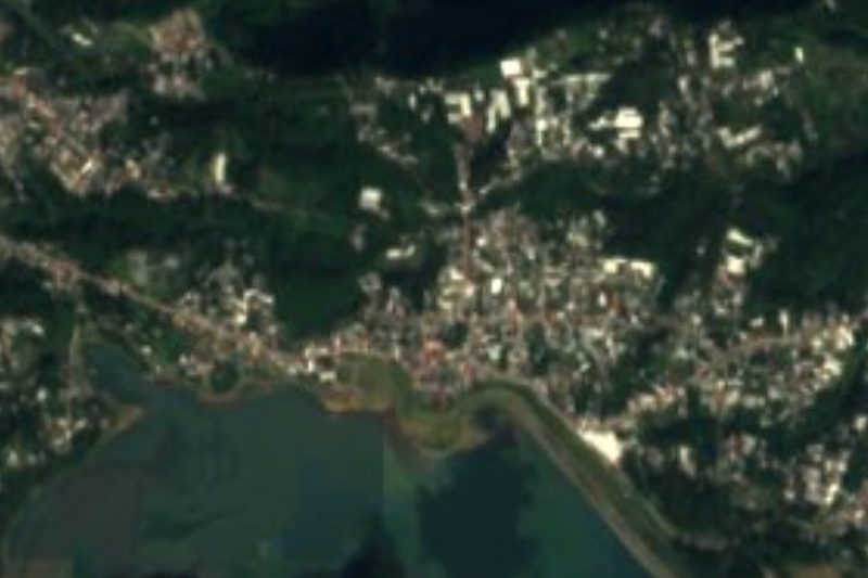
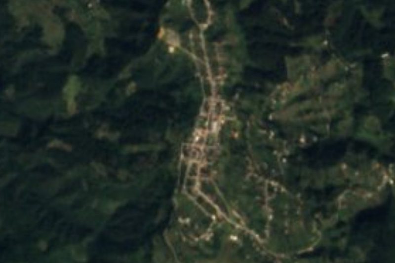
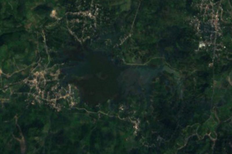

Drive times by road from OpenStreetMap, without traffic. Times marked ~ are estimated from the straight-line distance.
Location from OpenStreetMap. Written by Puebloteca.