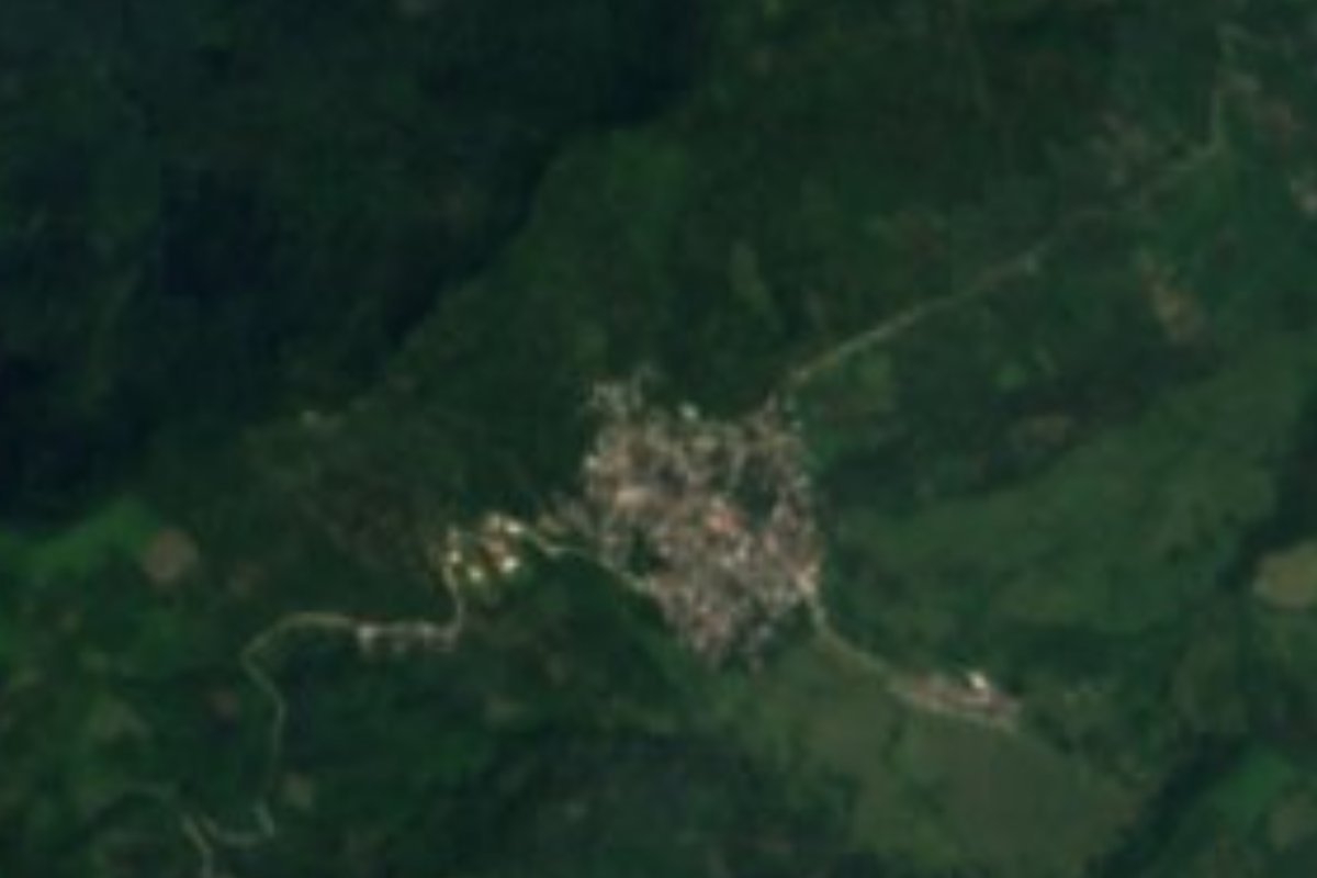
Village Tlaola, Puebla Municipality of Tlaola Sierra Norte de Puebla
Village of Tlaola, "where mushrooms abound", below 1,000 m in the Sierra Norte, near Xicotepec.
From Huauchinango: 50 min by car (29 km by road) How to get there ↓
Near here
See everything nearby ↓



Plan your visit to Xochinanacatlán
Where to stay near Xochinanacatlán
Compare hotels, posadas and guest houses in Xochinanacatlán.
Tours to Xochinanacatlán
Day trips and guided outings from Xicotepec often include Xochinanacatlán; with a local guide you can get there without a car.
How to get to Xochinanacatlán
- From Huauchinango: about 50 min by road (~29 km)
- Nearest airport: Poza Rica (PAZ), 2 h 7 min by car to Xicotepec
Links open a partner site. We may earn a commission if you book, at no cost to you.
About Xochinanacatlán
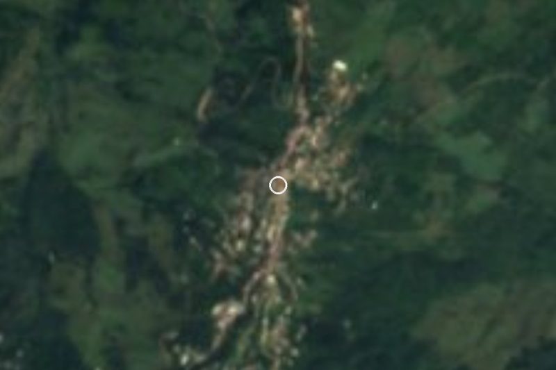
Xochinanacatlán's name is about mushrooms: xochitl is flower, nanacatl a mushroom, and tlan a place of plenty, so it is "where mushrooms bloom in plenty". With 2,089 people in 2020 it is one of the larger places in Tlaola, about 8 km east of the seat and only about 960 m above sea level, in the lower, warmer part of the municipality. Xicotepec, the Pueblo Mágico, is about 14 km away.
Tlaola had 20,433 people in 2020 in 44 settlements, and more than half speak an indigenous language, mostly Nahuatl and Totonac. The geography gives no break: 99% of the municipality is the high, steep sierra of the Huasteca karst, and 57% of its land is unfit for farming; where it is farmed, most of the work is done by hand. Soils are thin, stony leptosols, with acrisols and luvisols on the slopes. To the north it borders Huauchinango, Zihuateutla and Jopala, and to the south Tlapacoya, Ahuacatlán and Chiconcuautla.
The seat keeps a parish church dedicated to Saint Peter, built in the 16th century. Local meals include mole poblano, bean tamales and chileatole, with coffee and water-based chocolate to drink.
How to get to Xochinanacatlán
Drive from Huauchinango: 50 min, 29 km
Xochinanacatlán is about 8 km east of Tlaola and about 14 km from Xicotepec. From Puebla, take the México–Tuxpan highway to Huauchinango or Xicotepec, then mountain roads; it rains here most of the year, so drive with care.
Directions to Xochinanacatlán on Google Maps
Distances are in a straight line; the road is usually longer.
Links open a partner site. We may earn a commission if you book, at no cost to you.
From the nearest cities to Xochinanacatlán
- Huauchinango · 29 km by road, 50 min
- Papantla · about 85 km by road, ~1 h 15 min
- Tulancingo · 73 km by road, 1 h 20 min
Drive times by road from OpenStreetMap, without traffic or stops. Times marked ~ are estimated from the straight-line distance.
Visiting Xochinanacatlán: what to see and do
The steep sierra and its coffee plots.
The 16th-century church of San Pedro in Tlaola.
Xicotepec, a Pueblo Mágico about 14 km away.
Plan your trip
Places to stay in Xochinanacatlán
Compare hotels, posadas, and rentals in and around Xochinanacatlán.
Tours & activities
Day trips and guided outings from Xicotepec often include Xochinanacatlán; with a local guide you can get there without a car.
Rental cars
Pick up a car at PAZ (Poza Rica): about 2 h 7 min by road to Xicotepec, then 14 km more to Xochinanacatlán, on your own schedule.
Flights
The nearest airport with scheduled flights is Poza Rica (PAZ), about 2 h 7 min by road from Xicotepec, the base for Xochinanacatlán.
Mobile data
Signal can drop away from Xicotepec: download a map of the way to Xochinanacatlán before you set out, or carry an eSIM with data.
Links open a partner site. We may earn a commission if you book, at no cost to you.
When to go to Xochinanacatlán mild
Xochinanacatlán shares the climate of Xicotepec, 14 km away. The best months to visit are January, February, March, and December.
See the month-by-month climate of Xicotepec
Weather in Xochinanacatlán now and the next 7 days
Live forecast from Open-Meteo. Chance of rain is the day's highest.
The closest Pueblo Mágico: Xicotepec

Xicotepec is the Pueblo Mágico closest to Xochinanacatlán, with places to stay, food, and more to see.
Also close to
- Huauchinango · Puebla · 16 km away
- Pahuatlán · Puebla · 28 km away
- Zacatlán · Puebla · 30 km away
- Acaxochitlán · Hidalgo · 32 km away
- Zozocolco · Veracruz · 33 km away
Closest to Xochinanacatlán
-
Tlaltepango · Village · 6 km away
-
Zihuateutla · Village · 6 km away
-
Tlaola · Village · 7 km away
-
Chicahuaxtla · Village · 8 km away
-
Las Colonias de Hidalgo · Village · 8 km away
-
Xaltepuxtla · Village · 8 km away
-
Chicontla · Village · 9 km away
-
Tenango de las Flores · Town · 9 km away
Near Xochinanacatlán





Drive times by road from OpenStreetMap, without traffic. Times marked ~ are estimated from the straight-line distance.
Location from OpenStreetMap. Written by Puebloteca.