Village Hermenegildo Galeana, Puebla Sierra Norte de Puebla Totonacapan
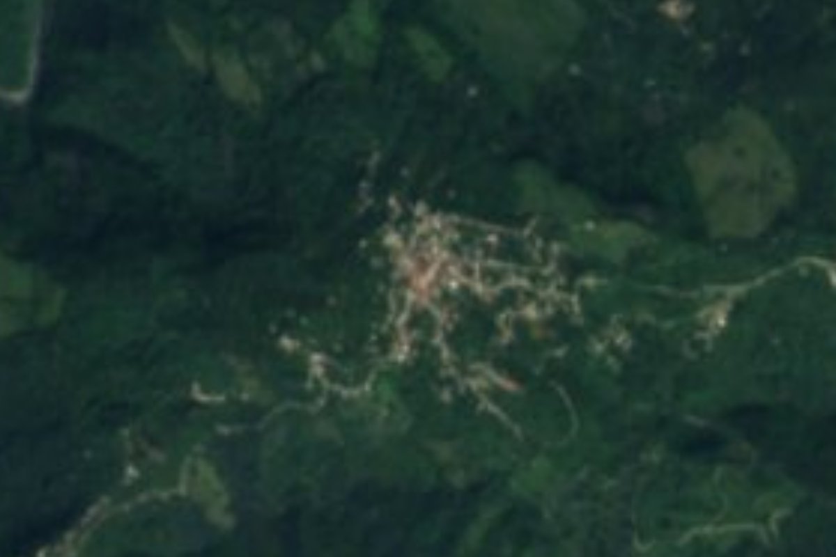
Seat of the municipality of Hermenegildo Galeana in Puebla's Sierra Norte, at about 780 m among green hills.
From Huauchinango: 1 h 55 min by car (74 km by road) How to get there ↓
Near here
See everything nearby ↓


Plan your visit to Bienvenido
Where to stay near Bienvenido
Compare hotels, posadas and guest houses in Bienvenido.
Tours to Bienvenido
Day trips and guided outings from Zozocolco often include Bienvenido; with a local guide you can get there without a car.
How to get to Bienvenido
- From Huauchinango: about 1 h 55 min by road (~74 km)
- Nearest airport: Poza Rica (PAZ), 3 h 15 min by car to Zozocolco
Links open a partner site. We may earn a commission if you book, at no cost to you.
About Bienvenido
Bienvenido is the seat of the municipality of Hermenegildo Galeana in Puebla's Sierra Norte. It stands at about 780 m and had 1,012 people in 2020, making it the municipality's largest place. The municipality, covering just 0.15% of the state, had 7,718 people in 26 settlements in 2010.
The municipality is named after Hermenegildo Galeana (1762–1814), one of the heroes of the War of Independence, like other municipalities around the country. It lies deep in the sierra, at an average of about 780 m, and borders Jopala to the north, Coatepec to the east, Amixtlán to the south and San Felipe Tepatlán to the west, all villages of the Totonac and Nahua sierra of northern Puebla.
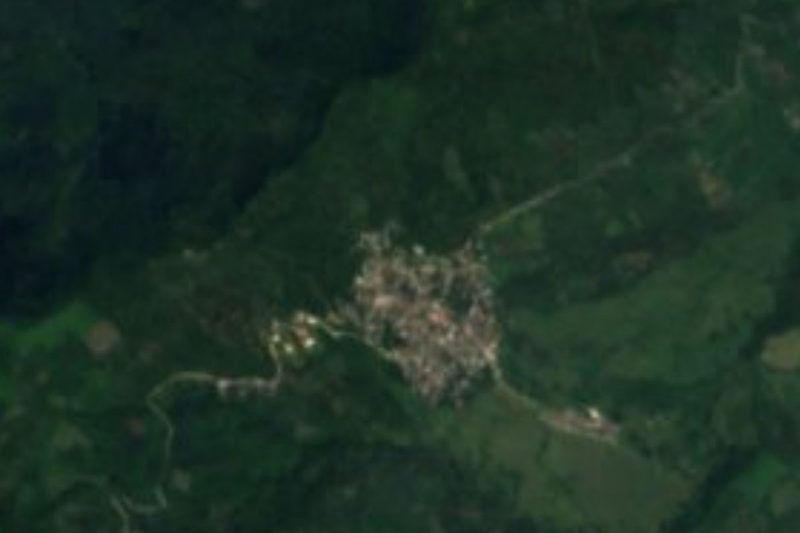
From above, Bienvenido's houses sit among the hills and greenery of the sierra. For travellers it is a stop in the ravine country descending toward the Totonacapan; the nearest Pueblo Mágico is Zozocolco in Veracruz, about 17 km away in a straight line, with Zacatlán further to the south-west.
How to get to Bienvenido
Drive from Huauchinango: 1 h 55 min, 74 km
Bienvenido lies in Puebla's Sierra Norte, about 17 km in a straight line from the Pueblo Mágico of Zozocolco in Veracruz, and about 55 km from Poza Rica. Puebla city is about 129 km away in a straight line. The mountain roads are winding; travel by daylight.
Directions to Bienvenido on Google Maps
Distances are in a straight line; the road is usually longer.
Links open a partner site. We may earn a commission if you book, at no cost to you.
From the nearest cities to Bienvenido
- Huauchinango · 74 km by road, 1 h 55 min
- Poza Rica · 100 km by road, 2 h 30 min
- Papantla · 106 km by road, 2 h 30 min
Drive times by road from OpenStreetMap, without traffic or stops. Times marked ~ are estimated from the straight-line distance.
Visiting Bienvenido: what to see and do
The landscape of hills and ravines of the Sierra Norte.
Pair it with Zozocolco, a Pueblo Mágico in Veracruz, about 17 km away.
Plan your trip
Places to stay in Bienvenido
Compare hotels, posadas, and rentals in and around Bienvenido.
Tours & activities
Day trips and guided outings from Zozocolco often include Bienvenido; with a local guide you can get there without a car.
Rental cars
Pick up a car at PAZ (Poza Rica): about 3 h 15 min by road to Zozocolco, then 17 km more to Bienvenido, on your own schedule.
Flights
The nearest airport with scheduled flights is Poza Rica (PAZ), about 3 h 15 min by road from Zozocolco, the base for Bienvenido.
Mobile data
Signal can drop away from Zozocolco: download a map of the way to Bienvenido before you set out, or carry an eSIM with data.
Links open a partner site. We may earn a commission if you book, at no cost to you.
When to go to Bienvenido warm
Bienvenido shares the climate of Zozocolco, 17 km away. The best months to visit are February, March, November, and December.
See the month-by-month climate of Zozocolco
Weather in Bienvenido now and the next 7 days
Live forecast from Open-Meteo. Chance of rain is the day's highest.
The closest Pueblo Mágico: Zozocolco

Zozocolco is the Pueblo Mágico closest to Bienvenido, with places to stay, food, and more to see.
Also close to
- Cuetzalan · Puebla · 26 km away
- Xicotepec · Puebla · 30 km away
- Zacatlán · Puebla · 31 km away
- Huauchinango · Puebla · 33 km away
- Tetela de Ocampo · Puebla · 35 km away
Closest to Bienvenido
-
Buenos Aires · Village · 4 km away
-
Jopala · Village · 7 km away
-
Olintla · Village · 7 km away
-
Camocuautla · Village · 9 km away
-
Amixtlán · Village · 10 km away
-
Tlapacoya · Village · 11 km away
-
Dimas López · Village · 12 km away
-
Huehuetla · Town · 13 km away

Near Bienvenido






Drive times by road from OpenStreetMap, without traffic. Times marked ~ are estimated from the straight-line distance.
Location from OpenStreetMap. Written by Puebloteca.