Village Caxhuacán, Puebla Sierra Norte de Puebla Totonacapan
Totonac village in the Sierra Norte at about 500 m, with 3,500 mm of rain a year; voladores and quetzal dancers at its 4 October fiesta.
From Papantla: 1 h 35 min by car (81 km by road) How to get there ↓
Near here
See everything nearby ↓




Plan your visit to Caxhuacan
Where to stay near Caxhuacan
Compare hotels, posadas and guest houses in Caxhuacan.
Tours to Caxhuacan
Day trips and guided outings from Zozocolco often include Caxhuacan; with a local guide you can get there without a car.
How to get to Caxhuacan
- From Papantla: about 1 h 35 min by road (~81 km)
- Nearest airport: Poza Rica (PAZ), 3 h 15 min by car to Zozocolco
Links open a partner site. We may earn a commission if you book, at no cost to you.
About Caxhuacan
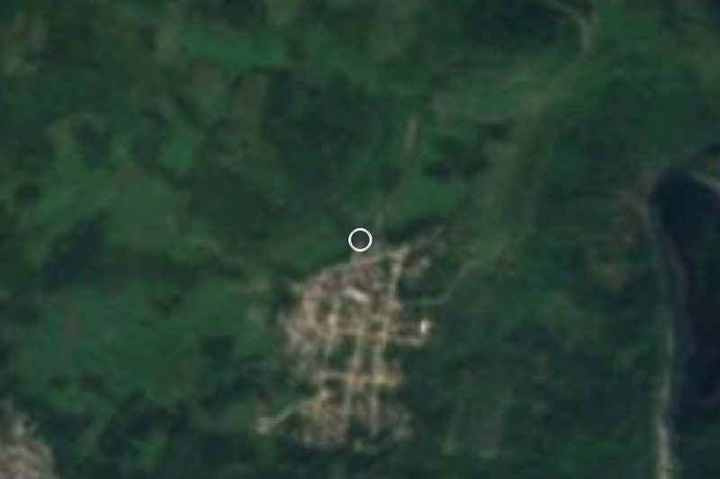
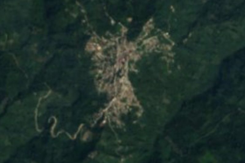
Caxhuacan is the seat of the municipality of the same name in northern Puebla, in the Sierra Norte, about 243 km north of the state capital. This is Totonac country: the name comes from the Totonac kaxkawa and is read as "place of bowls", and in Totonac the town is called Kalakgajna. The municipality is small, about 20 km², and had 3,791 people in 2010. It lies at about 500 m and borders Huehuetla, Ixtepec, San Juan Ocelonacaxtla, Tuzamapan de Galeana and, in Veracruz, Zozocolco de Hidalgo.
Totonac groups founded it under the altepetl of Hueytlalpan, and it later fell to the Aztec Triple Alliance within the tribute province of Tlatlauquitepec. Totonac land gave two maize harvests a year, wealth that drew Chichimec raids and the Aztec conquest. In the Kgaltziyat cave, "place of mice", near the Zempoala River, there are stone walls and potsherds that have yet to be dated. The climate is semi-warm and humid, with about 3,500 mm of rain a year and over 150 rainy days; in May temperatures can top 40 °C.
The main fiesta is on 4 October, and at it and at Holy Week the voladores, quetzales, huehues, toreadores, negritos, santiagueros and san migueles dance. At Holy Week the Judas figure is paraded on a donkey before being hanged and blown up, on All Saints the bells ring at night, and every 2 November paper hot-air balloons go up, a tradition of more than 30 years. The food has dishes of its own: xquíjit stewed with meat, paxni-kaka greens with sesame, pulaklas tamales and bread baked in wood-fired ovens.
How to get to Caxhuacan
Drive from Papantla: 1 h 35 min, 81 km
Caxhuacan lies in Puebla's Sierra Norte, about 243 km north of Puebla city by road, next to the Veracruz line. The Pueblo Mágico of Zozocolco in Veracruz is about 9 km away in a straight line, and Poza Rica about 54 km. It is a very wet area: mountain roads get difficult in the heavy-rain season.
Directions to Caxhuacan on Google Maps
Distances are in a straight line; the road is usually longer.
Links open a partner site. We may earn a commission if you book, at no cost to you.
From the nearest cities to Caxhuacan
- Papantla · 81 km by road, 1 h 35 min
- Teziutlán · 99 km by road, 1 h 50 min
- Poza Rica · 99 km by road, 1 h 50 min
Drive times by road from OpenStreetMap, without traffic or stops. Times marked ~ are estimated from the straight-line distance.
Before you go to Caxhuacan: hours, prices and tips
- Best season
- The main fiesta is on 4 October; paper balloons go up on 2 November. Wikipedia · checked Oct 2026
Hours and prices change, especially around holidays. Each fact links to where we checked it.
Visiting Caxhuacan: what to see and do
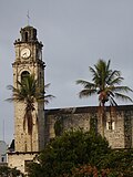
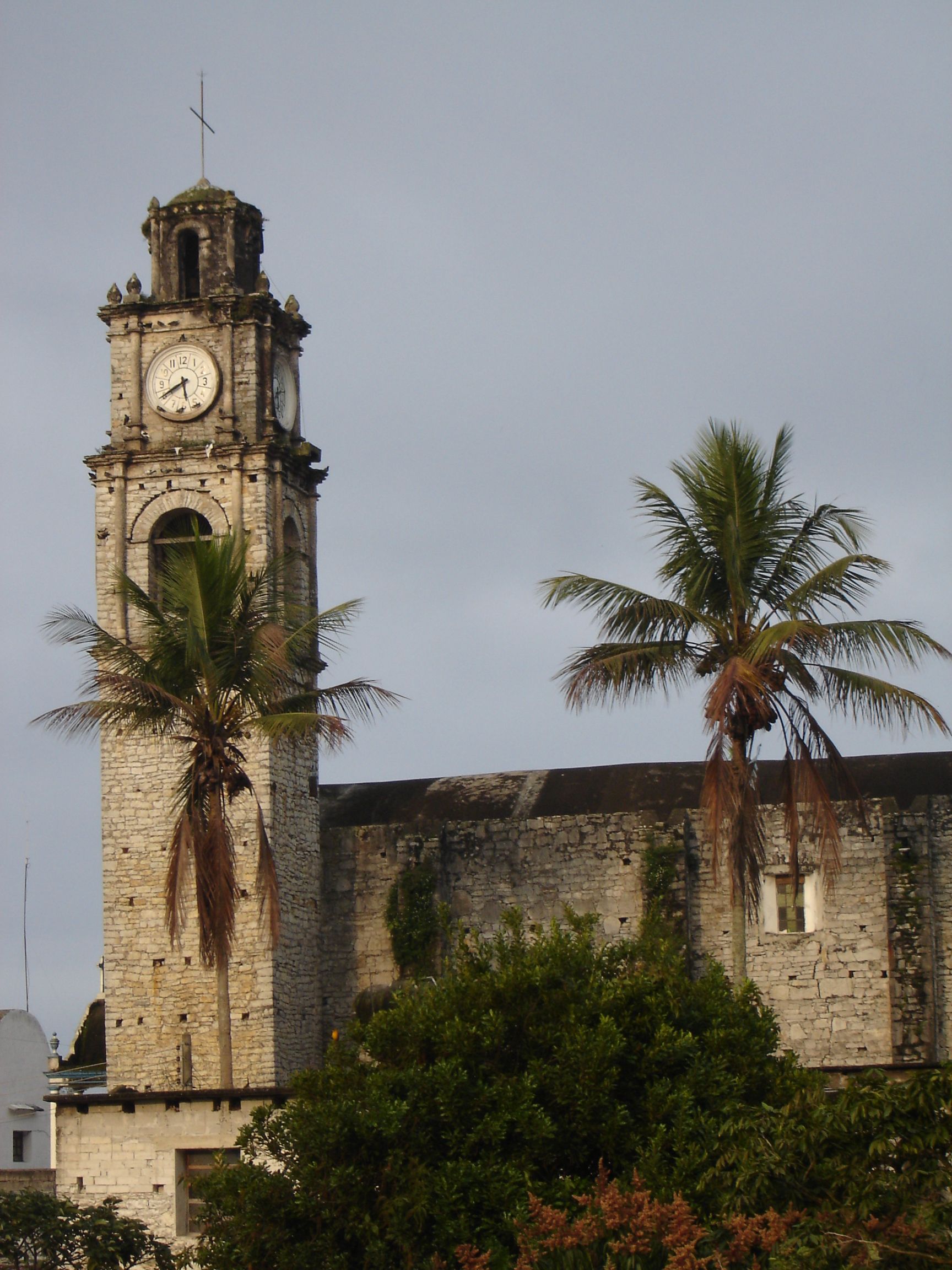
The church with its stone clock tower among palm trees.
The voladores and quetzal dances at the 4 October fiesta.
The paper balloons on 2 November.
Totonac cooking: xquíjit, paxni-kaka and pulaklas tamales.
Pair it with Zozocolco, a Pueblo Mágico in Veracruz, about 9 km away.
Plan your trip
Places to stay in Caxhuacan
Compare hotels, posadas, and rentals in and around Caxhuacan.
Tours & activities
Day trips and guided outings from Zozocolco often include Caxhuacan; with a local guide you can get there without a car.
Rental cars
Pick up a car at PAZ (Poza Rica): about 3 h 15 min by road to Zozocolco, then 9 km more to Caxhuacan, on your own schedule.
Flights
The nearest airport with scheduled flights is Poza Rica (PAZ), about 3 h 15 min by road from Zozocolco, the base for Caxhuacan.
Mobile data
Signal can drop away from Zozocolco: download a map of the way to Caxhuacan before you set out, or carry an eSIM with data.
Links open a partner site. We may earn a commission if you book, at no cost to you.
When to go to Caxhuacan warm
Caxhuacan shares the climate of Zozocolco, 9 km away. The best months to visit are February, March, November, and December.
See the month-by-month climate of Zozocolco
Weather in Caxhuacan now and the next 7 days
Live forecast from Open-Meteo. Chance of rain is the day's highest.
The closest Pueblo Mágico: Zozocolco

Zozocolco is the Pueblo Mágico closest to Caxhuacan, with places to stay, food, and more to see.
Also close to
- Cuetzalan · Puebla · 10 km away
- Tlatlauquitepec · Puebla · 26 km away
- Tetela de Ocampo · Puebla · 34 km away
- Teziutlán · Puebla · 35 km away
- Zacatlán · Puebla · 40 km away
Closest to Caxhuacan
-
Tuzamapan de Galeana · Village · 3 km away
-
Huehuetla · Town · 5 km away
-
Jonotla · Town · 5 km away
-
Atlequizayan · Village · 6 km away
-
Ixtepec · Village · 6 km away
-
San Miguel Tzinacapan · Town · 8 km away
-
Olintla · Village · 9 km away
-
Nanacatlán · Village · 10 km away


Near Caxhuacan
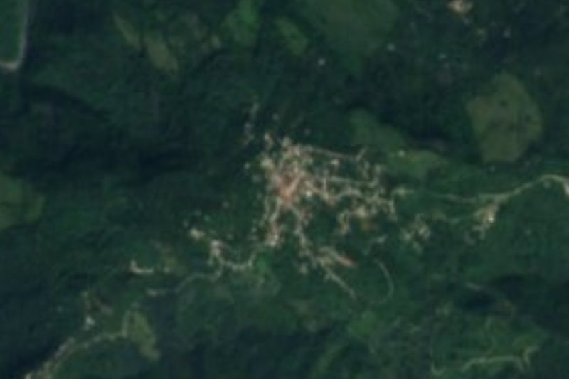



Drive times by road from OpenStreetMap, without traffic. Times marked ~ are estimated from the straight-line distance.
Location from OpenStreetMap. Written by Puebloteca.