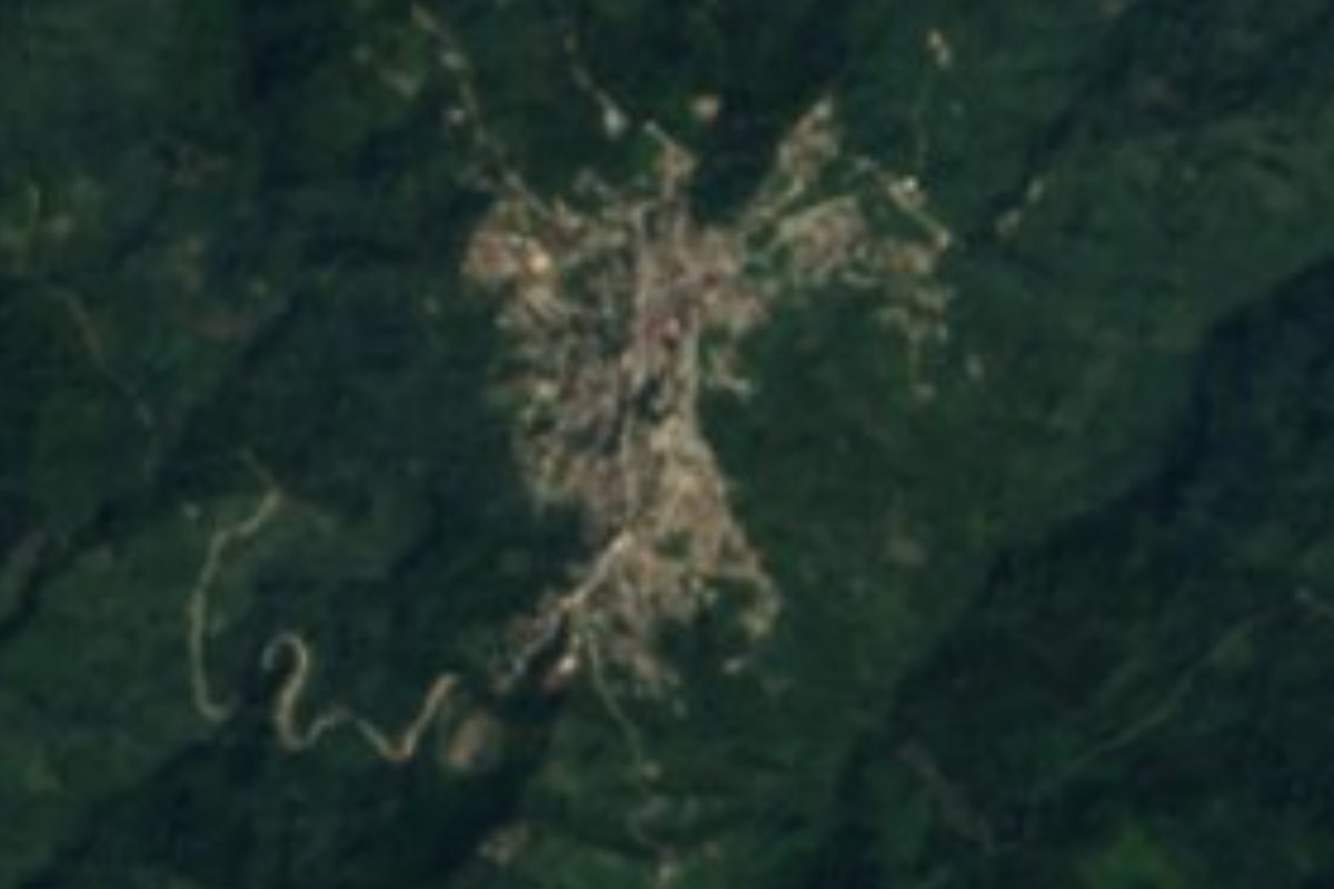
Village Zongozotla, Puebla Sierra Norte de Puebla
Totonac hill town of the Sierra Norte, founded in 1709, with a Concepción church and an arcaded town hall; ixtle weaving and wild-blackberry wine.
From Poza Rica: about 1 h 20 min by road (~90 km) How to get there ↓
Near here
See everything nearby ↓


Plan your visit to Zongozotla
Where to stay near Zongozotla
Compare hotels, posadas and guest houses in Zongozotla.
Tours to Zongozotla
Day trips and guided outings from Tetela de Ocampo often include Zongozotla; with a local guide you can get there without a car.
How to get to Zongozotla
- From Poza Rica: about 1 h 20 min by road (~90 km)
- Nearest airport: Puebla (PBC), 2 h 8 min by car to Tetela de Ocampo
Links open a partner site. We may earn a commission if you book, at no cost to you.
About Zongozotla
In 1865, during the French Intervention, the Austro-Hungarian Legion marched into Zongozotla without a fight, pitched camp here and used the hilltop as a base for attacks on Republican positions across the sierra. When the war ended some of those soldiers stayed on in the region, a few for a while and others for good. The town is far older than that episode: the municipal archive of Tetela de Ocampo records its founding in 1709. The name is Nahuatl and refers to cozol, the resin of the ocote pine, so it is usually rendered as "place where ocote pine abounds". The town had 4,229 residents in 2020 and sits at 1,123 m on a ridge of the Sierra Norte de Puebla.
People in Zongozotla speak mainly Totonac, as well as Nahuatl; the municipality had more than 3,700 speakers of an Indigenous language. Two buildings anchor the centre: the parish church of the Most Holy Virgin of the Conception, built in the 16th century, and the town hall, recognisable by the long row of arches along its front. Local dress is still seen: women in a skirt and white blouse crossed by a red band, men in cotton-cloth trousers and shirt, palm hat, strap sandals and a machete at the belt. The music at fiestas is huapango.
This is wet mountain country: about 78% of the municipality is still forest and nearly all the rest is grassland, with only 4% farmed. Rain is heavy, 1,900 to 2,100 mm a year spread across every season, and average temperatures run from 16 to 22 °C, warmer lower down. Water drains toward the Zempoala river and the Tecolutla basin; the Ayoco and Laxaxalpan streams flow year-round. Households weave ixtle fibre, palm and wool. The kitchen offers mole poblano and pork or chicken tamales, and to drink there are spirits fermented with quince root and wine made from wild blackberries.
How to get to Zongozotla
Zongozotla lies deep in the Sierra Norte, 116 km in a straight line from Puebla city and about 20 km from Tetela de Ocampo, the nearest large town. By public transport, Autobuses Vía runs from Puebla's CAPU terminal to Zaragoza roughly every ten minutes (about 2 h 10 min), with connections on to Zacapoaxtla; the last stretch to Zongozotla is by local sierra transport with no published timetable, so ask in Zacapoaxtla or Tetela. By car it is a winding mountain road.
Directions to Zongozotla on Google Maps
Distances are in a straight line; the road is usually longer.
Links open a partner site. We may earn a commission if you book, at no cost to you.
From the nearest cities to Zongozotla
- Poza Rica · about 90 km by road, ~1 h 20 min
- Tulancingo · about 90 km by road, ~1 h 20 min
- Teziutlán · 85 km by road, 1 h 30 min
Drive times by road from OpenStreetMap, without traffic or stops. Times marked ~ are estimated from the straight-line distance.
Visiting Zongozotla: what to see and do
The 16th-century parish church of the Virgin of the Conception.
The town hall and its arcaded front.
Ixtle, palm and wool weaving made in town.
Wild-blackberry wine and quince-root spirits.
Views over the forested sierra from the town's ridge.
Plan your trip
Places to stay in Zongozotla
Compare hotels, posadas, and rentals in and around Zongozotla.
Tours & activities
Day trips and guided outings from Tetela de Ocampo often include Zongozotla; with a local guide you can get there without a car.
Rental cars
Pick up a car at PBC (Puebla): about 2 h 8 min by road to Tetela de Ocampo, then 20 km more to Zongozotla, on your own schedule.
Flights
The nearest airport with scheduled flights is Puebla (PBC), about 2 h 8 min by road from Tetela de Ocampo, the base for Zongozotla.
Mobile data
Signal can drop away from Tetela de Ocampo: download a map of the way to Zongozotla before you set out, or carry an eSIM with data.
Links open a partner site. We may earn a commission if you book, at no cost to you.
When to go to Zongozotla cool
Zongozotla shares the climate of Tetela de Ocampo, 20 km away. The best months to visit are January, February, March, and December.
See the month-by-month climate of Tetela de Ocampo
Weather in Zongozotla now and the next 7 days
Live forecast from Open-Meteo. Chance of rain is the day's highest.
The closest Pueblo Mágico: Tetela de Ocampo

Tetela de Ocampo is the Pueblo Mágico closest to Zongozotla, with places to stay, food, and more to see.
Also close to
- Cuetzalan · Puebla · 22 km away
- Zozocolco · Veracruz · 23 km away
- Zacatlán · Puebla · 25 km away
- Tlatlauquitepec · Puebla · 28 km away
- Chignahuapan · Puebla · 36 km away
Closest to Zongozotla
-
Zapotitlán de Méndez · Village · 3 km away
-
Huitzilan · Town · 4 km away
-
Nanacatlán · Village · 6 km away
-
Camocuautla · Village · 8 km away
-
Tepango de Rodríguez · Village · 8 km away
-
Tlamanca de Hernández · Village · 9 km away
-
Ixtepec · Village · 10 km away
-
San Esteban Cuautempan · Village · 10 km away

Near Zongozotla





Drive times by road from OpenStreetMap, without traffic. Times marked ~ are estimated from the straight-line distance.
Location from OpenStreetMap. Written by Puebloteca.