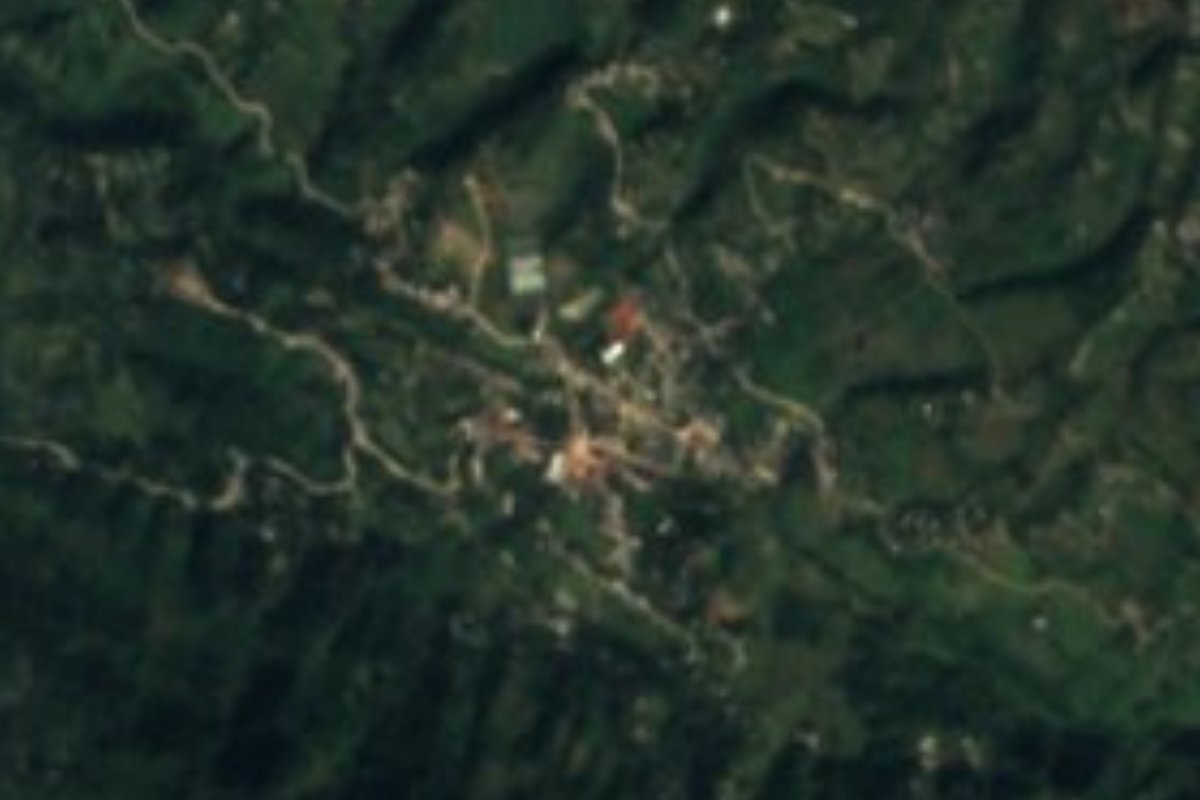
Village Cuautempan, Puebla Sierra Norte de Puebla
Seat of Cuautempan, "at the edge of the forest", in Puebla's Sierra Norte; a 16th-century church of San Esteban and a free municipality since 1895.
From Poza Rica: about 1 h 30 min by road (~100 km) How to get there ↓
Near here
See everything nearby ↓


Plan your visit to San Esteban Cuautempan
Where to stay near San Esteban Cuautempan
Compare hotels, posadas and guest houses in San Esteban Cuautempan.
Tours to San Esteban Cuautempan
Day trips and guided outings from Tetela de Ocampo often include San Esteban Cuautempan; with a local guide you can get there without a car.
How to get to San Esteban Cuautempan
- From Poza Rica: about 1 h 30 min by road (~100 km)
- Nearest airport: Puebla (PBC), 2 h 8 min by car to Tetela de Ocampo
Links open a partner site. We may earn a commission if you book, at no cost to you.
About San Esteban Cuautempan
The Nahuatl name says it all: cuautli, tentli and pan read as "at the edge of the forest", and nearly half of Cuautempan municipality is still wooded. San Esteban Cuautempan, the municipal seat, sits at about 1,503 metres in the foothills of the Sierra Norte de Puebla, where the municipal land climbs from 800 to 2,600 metres. In 2020 the town had 1,232 residents; Tetela de Ocampo is only 11 kilometres away and Tulancingo, across the line in Hidalgo, 62.
Before the Spanish conquered the area in 1521, it was Totonac country. In the nineteenth century the place belonged to the district of Tetela, and in 1895 it became a free municipality. Its oldest building is the parish church of San Esteban, which INEGI dates to the sixteenth century. The municipality covers 84.5 square kilometres, borders Zongozotla, Huitzilan de Serdán, Tetela de Ocampo and Tepetzintla, and more than five thousand of its people speak an Indigenous language, mainly Nahuatl and Totonac.
It rains heavily here, between 1,100 and 2,100 millimetres a year, under humid temperate climates with a warmer belt, and the water drains to the Tecuantepec River, a tributary of the Tecolutla, which reaches the Gulf. The Citlalpepetl and Zempoala streams flow all year. Mountain cooking includes clove mole, smoked chicken, pressed chicharrón, tlacoyos and mixiote, and local crafts are reed and wool weaving, pottery, wood carving for building and hand-made wooden spoons. The violin is the instrument of local folk music.
How to get to San Esteban Cuautempan
From Puebla city Cuautempan is about 106 kilometres north, reached via Tetela de Ocampo, 11 kilometres from the village, on a mountain road. Tulancingo in Hidalgo is 62 kilometres away. Sierra curves and fog call for slow driving.
Directions to San Esteban Cuautempan on Google Maps
Distances are in a straight line; the road is usually longer.
Links open a partner site. We may earn a commission if you book, at no cost to you.
From the nearest cities to San Esteban Cuautempan
- Poza Rica · about 100 km by road, ~1 h 30 min
- Huauchinango · 117 km by road, 1 h 55 min
- Teziutlán · 117 km by road, 2 h
Drive times by road from OpenStreetMap, without traffic or stops. Times marked ~ are estimated from the straight-line distance.
Visiting San Esteban Cuautempan: what to see and do
The sixteenth-century parish church of San Esteban in the centre of town; the damp forested slopes of the sierra around it; and nearby Tetela de Ocampo, 11 kilometres off, to round out a trip through the Sierra Norte.
Plan your trip
Places to stay in San Esteban Cuautempan
Compare hotels, posadas, and rentals in and around San Esteban Cuautempan.
Tours & activities
Day trips and guided outings from Tetela de Ocampo often include San Esteban Cuautempan; with a local guide you can get there without a car.
Rental cars
Pick up a car at PBC (Puebla): about 2 h 8 min by road to Tetela de Ocampo, then 11 km more to San Esteban Cuautempan, on your own schedule.
Flights
The nearest airport with scheduled flights is Puebla (PBC), about 2 h 8 min by road from Tetela de Ocampo, the base for San Esteban Cuautempan.
Mobile data
Signal can drop away from Tetela de Ocampo: download a map of the way to San Esteban Cuautempan before you set out, or carry an eSIM with data.
Links open a partner site. We may earn a commission if you book, at no cost to you.
When to go to San Esteban Cuautempan cool
San Esteban Cuautempan shares the climate of Tetela de Ocampo, 11 km away. The best months to visit are January, February, March, and December.
See the month-by-month climate of Tetela de Ocampo
Weather in San Esteban Cuautempan now and the next 7 days
Live forecast from Open-Meteo. Chance of rain is the day's highest.
The closest Pueblo Mágico: Tetela de Ocampo

Tetela de Ocampo is the Pueblo Mágico closest to San Esteban Cuautempan, with places to stay, food, and more to see.
Also close to
- Zacatlán · Puebla · 17 km away
- Chignahuapan · Puebla · 26 km away
- Cuetzalan · Puebla · 31 km away
- Tlatlauquitepec · Puebla · 32 km away
- Zozocolco · Veracruz · 34 km away
Closest to San Esteban Cuautempan
-
Cascadas de Aconco · Waterfall · 5 km away
-
Tlamanca de Hernández · Village · 5 km away
-
Cuacuila · Village · 9 km away
-
Grutas de Acocomoca · Cave · 10 km away
-
Tepango de Rodríguez · Village · 10 km away
-
Zongozotla · Village · 10 km away
-
Huitzilan · Town · 12 km away
-
Zapotitlán de Méndez · Village · 13 km away


Near San Esteban Cuautempan





Drive times by road from OpenStreetMap, without traffic. Times marked ~ are estimated from the straight-line distance.
Location from OpenStreetMap. Written by Puebloteca.