
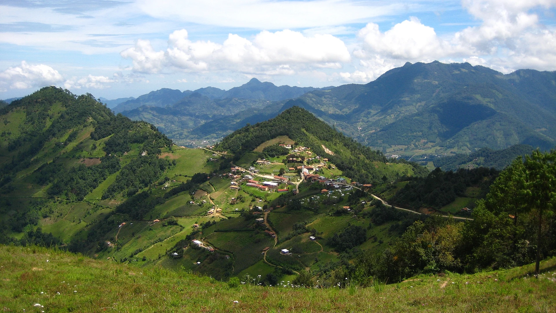
Village Zacatlán, Puebla Municipality of Zacatlán Sierra Norte de Puebla
Nahua community at the southern tip of the municipality of Zacatlán, at 2,250 m among pine-oak forest, near Tetela de Ocampo.
From Huauchinango: 1 h 35 min by car (79 km by road) How to get there ↓
Near here
See everything nearby ↓


Plan your visit to Cuacuila
Where to stay near Cuacuila
Compare hotels, posadas and guest houses in Cuacuila.
Tours to Cuacuila
Day trips and guided outings from Tetela de Ocampo often include Cuacuila; with a local guide you can get there without a car.
 Tours from Puebla City
Africam Safari Zoo Admission with Transportation
★ 4.8 (87) · From US$35
How to get to Cuacuila
- From Huauchinango: about 1 h 35 min by road (~79 km)
- Nearest airport: Puebla (PBC), 2 h 8 min by car to Tetela de Ocampo
Links open a partner site. We may earn a commission if you book, at no cost to you.
Tours from Puebla City, near Cuacuila


Tours, prices and ratings from Viator, checked weekly. We may earn a commission if you book.
About Cuacuila
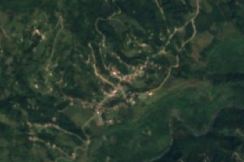
Cuacuila is a community in the municipality of Zacatlán, in Puebla's Sierra Norte, at the municipality's southern end. The name comes from the Nahuatl Kujukila, "place of the oak worms". It stands at about 2,250 m and had 374 inhabitants in 2020, mostly Indigenous people who speak Nahuatl as well as Spanish. It borders Omitlán, Tetelancingo, Yehuala, Xilitetitla, Xonocuautla, Zoquitla, Popotohuilco, Tetelco and Xaltatempa de Lucas.
According to local history, a group of Spaniards founded it in 1750, and at first it belonged to the municipality of Otatlán. In 1917 it broke away in a movement led by General Gabriel Barrios Cabrera, backed by Tetela de Ocampo: a guerrilla force rose at a fort 7 km from the village and won, and Barrios later joined the Revolution on Venustiano Carranza's side. In 1920 Cuacuila became part of the municipality of Zacatlán de las Manzanas.
The climate is mild and humid, with temperatures of 7 to 20 °C most of the year, and oak and pine forests around it shelter squirrels, coyotes and raccoons. People live from farming, mainly maize for their own use. It is a highly marginalised community, reached by three dirt roads shared by cars and livestock.
How to get to Cuacuila
Drive from Huauchinango: 1 h 35 min, 79 km
Cuacuila is reached by three dirt roads: the main one, 23 km long, comes from Chignahuapan to the south-west; another, 20 km, climbs from Tetela de Ocampo to the south; and the third comes from Zacatlán. Tetela de Ocampo is about 9 km away in a straight line. Puebla city is about 99 km away in a straight line. A high-clearance vehicle and daylight travel are advisable.
Directions to Cuacuila on Google Maps
Distances are in a straight line; the road is usually longer.
Links open a partner site. We may earn a commission if you book, at no cost to you.
From the nearest cities to Cuacuila
- Huauchinango · 79 km by road, 1 h 35 min
- Tulancingo · 94 km by road, 1 h 45 min
- Chiautempan · 97 km by road, 1 h 50 min
Drive times by road from OpenStreetMap, without traffic or stops. Times marked ~ are estimated from the straight-line distance.
Visiting Cuacuila: what to see and do
The pine and oak forests around the village.
The maize fields of the Sierra Norte.
Pair it with Tetela de Ocampo, a Pueblo Mágico about 9 km away, and with Zacatlán.
Plan your trip
Places to stay in Cuacuila
Compare hotels, posadas, and rentals in and around Cuacuila.
Tours & activities
Day trips and guided outings from Tetela de Ocampo often include Cuacuila; with a local guide you can get there without a car.
Rental cars
Pick up a car at PBC (Puebla): about 2 h 8 min by road to Tetela de Ocampo, then 9 km more to Cuacuila, on your own schedule.
Flights
The nearest airport with scheduled flights is Puebla (PBC), about 2 h 8 min by road from Tetela de Ocampo, the base for Cuacuila.
Mobile data
Signal can drop away from Tetela de Ocampo: download a map of the way to Cuacuila before you set out, or carry an eSIM with data.
Links open a partner site. We may earn a commission if you book, at no cost to you.
When to go to Cuacuila cool
Cuacuila shares the climate of Tetela de Ocampo, 9 km away. The best months to visit are January, February, March, and December.
See the month-by-month climate of Tetela de Ocampo
Weather in Cuacuila now and the next 7 days
Live forecast from Open-Meteo. Chance of rain is the day's highest.
The closest Pueblo Mágico: Tetela de Ocampo

Tetela de Ocampo is the Pueblo Mágico closest to Cuacuila, with places to stay, food, and more to see.
Also close to
- Zacatlán · Puebla · 12 km away
- Chignahuapan · Puebla · 18 km away
- Tlatlauquitepec · Puebla · 39 km away
- Tlaxco · Tlaxcala · 39 km away
- Huauchinango · Puebla · 39 km away
Closest to Cuacuila
-
Cascadas de Aconco · Waterfall · 4 km away
-
Tonalapa · Village · 6 km away
-
San Esteban Cuautempan · Village · 9 km away
-
San Miguel Tenango · Town · 9 km away
-
Cascada de San Pedro · Waterfall · 10 km away
-
La Cañada · Town · 10 km away
-
Aquixtla · Town · 11 km away
-
Tlamanca de Hernández · Village · 11 km away

Near Cuacuila






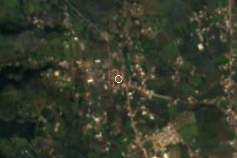

Drive times by road from OpenStreetMap, without traffic. Times marked ~ are estimated from the straight-line distance.
Location from OpenStreetMap. Written by Puebloteca.