

Village Chiconcuautla, Puebla Municipality of Chiconcuautla Sierra Norte de Puebla
Village of Otomí origin in the Sierra Norte between Zacatlán and Huauchinango; in 1911 a Maderista base with a workshop minting coins.
From Huauchinango: 1 h 10 min by car (44 km by road) How to get there ↓
Near here
See everything nearby ↓


Plan your visit to Chiconcuautla
Where to stay near Chiconcuautla
Compare hotels, posadas and guest houses in Chiconcuautla.
Tours to Chiconcuautla
Day trips and guided outings from Huauchinango often include Chiconcuautla; with a local guide you can get there without a car.
How to get to Chiconcuautla
- From Huauchinango: about 1 h 10 min by road (~44 km)
- Nearest airport: Poza Rica (PAZ), 1 h 59 min by car to Huauchinango
Links open a partner site. We may earn a commission if you book, at no cost to you.
About Chiconcuautla
Chiconcuautla is the seat of the municipality of the same name in north-eastern Puebla, in the Sierra Norte. The village had 4,075 people in 2020 and stands at about 1,510 m. The municipality, about 114 km², borders Tlaola to the north, Zacatlán to the south and east, and Tlapacoya and Ahuacatlán to the west.
It was founded by the Otomí and later paid tribute to Texcoco. The Spaniards conquered it in 1522, and by 1750 it fell within the church jurisdiction of Huauchinango. In 1895 it became a free municipality. Its most unusual moment came with the Revolution: in 1911 it was the base of the Francisco I. Madero Brigade, led by Generals Esteban, Eliano and Gaspar Márquez, Carlos I. Betancourt, Alejandro Denis, Álvaro Lechuga and Agapito and Gabriel Nacim, who set up a workshop here to mint copper coins and a die press to make weapons.
It is a municipality of farms and mountains. Farmers grow maize, beans and coffee, avocados, tomatoes and serrano chillies, and raise cattle, pigs, goats and sheep, as well as donkeys, mules, rabbits and poultry. The village has corn mills, tortilla shops and bakeries, and trade happens in grocery stores, butchers and vegetable stalls.
How to get to Chiconcuautla
Drive from Huauchinango: 1 h 10 min, 44 km
Chiconcuautla lies in Puebla's Sierra Norte, about 15 km in a straight line from the Pueblo Mágico of Huauchinango and bordering the municipality of Zacatlán. Tulancingo in Hidalgo is about 44 km away, and Puebla city about 120 km in a straight line. The mountain roads are winding; travel by daylight.
Directions to Chiconcuautla on Google Maps
Distances are in a straight line; the road is usually longer.
Links open a partner site. We may earn a commission if you book, at no cost to you.
From the nearest cities to Chiconcuautla
- Huauchinango · 44 km by road, 1 h 10 min
- Teziutlán · about 90 km by road, ~1 h 20 min
- Papantla · about 100 km by road, ~1 h 25 min
Drive times by road from OpenStreetMap, without traffic or stops. Times marked ~ are estimated from the straight-line distance.
Visiting Chiconcuautla: what to see and do
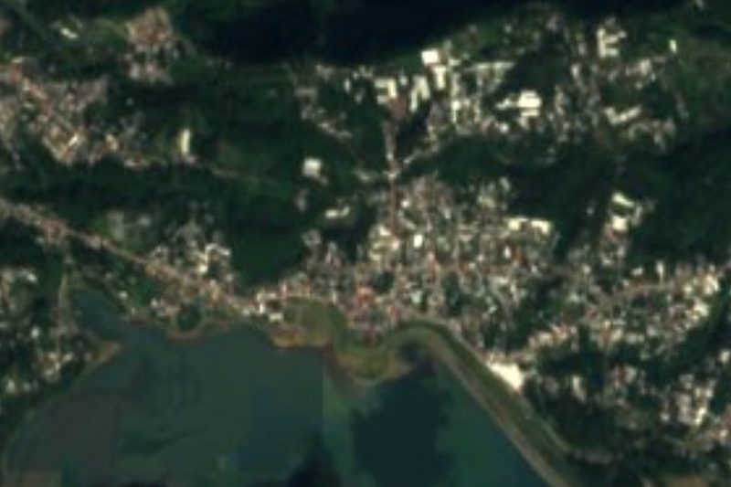
The village on the slopes of the Sierra Norte.
The municipality's coffee and avocado groves.
The story of the Francisco I. Madero Brigade and its 1911 workshop.
Pair it with Zacatlán and Huauchinango, neighbouring Pueblos Mágicos.
Plan your trip
Places to stay in Chiconcuautla
Compare hotels, posadas, and rentals in and around Chiconcuautla.
Tours & activities
Day trips and guided outings from Huauchinango often include Chiconcuautla; with a local guide you can get there without a car.
Rental cars
Pick up a car at PAZ (Poza Rica): about 1 h 59 min by road to Huauchinango, then 15 km more to Chiconcuautla, on your own schedule.
Flights
The nearest airport with scheduled flights is Poza Rica (PAZ), about 1 h 59 min by road from Huauchinango, the base for Chiconcuautla.
Mobile data
Signal can drop away from Huauchinango: download a map of the way to Chiconcuautla before you set out, or carry an eSIM with data.
Links open a partner site. We may earn a commission if you book, at no cost to you.
When to go to Chiconcuautla mild
Chiconcuautla shares the climate of Huauchinango, 15 km away. The best months to visit are January, February, March, and December.
See the month-by-month climate of Huauchinango
Weather in Chiconcuautla now and the next 7 days
Live forecast from Open-Meteo. Chance of rain is the day's highest.
The closest Pueblo Mágico: Huauchinango

Huauchinango is the Pueblo Mágico closest to Chiconcuautla, with places to stay, food, and more to see.
Also close to
- Zacatlán · Puebla · 18 km away
- Xicotepec · Puebla · 23 km away
- Acaxochitlán · Hidalgo · 28 km away
- Pahuatlán · Puebla · 30 km away
- Chignahuapan · Puebla · 31 km away
Closest to Chiconcuautla
-
Chicahuaxtla · Village · 5 km away
-
San Cristóbal Xochimilpa · Village · 5 km away
-
Tlaola · Village · 5 km away
-
Zempoala · Village · 6 km away
-
Benito Juárez · Village · 7 km away
-
Ahuacatlán · Village · 9 km away
-
Presa Nexapa · Lake · 9 km away
-
Tlaltepango · Village · 9 km away
Near Chiconcuautla





Drive times by road from OpenStreetMap, without traffic. Times marked ~ are estimated from the straight-line distance.
Location from OpenStreetMap. Written by Puebloteca.