
Village Zacatlán, Puebla Municipality of Zacatlán Sierra Norte de Puebla
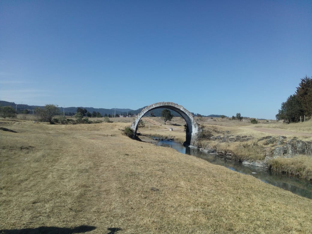
Zacatlán community at 2,141 m, about 4 km south of the apple town, known for its Puente del Gato bridge.
From Huauchinango: 50 min by car (60 km by road) How to get there ↓
Near here
See everything nearby ↓



Plan your visit to Tomatlán
Where to stay near Tomatlán
Compare hotels, posadas and guest houses in Tomatlán.
Tours to Tomatlán
Day trips and guided outings from Zacatlán often include Tomatlán; with a local guide you can get there without a car.
 Tours from Zacatlan
Zacatlán Guided Tour walking through the Center
★ 5.0 (2) · From US$8
How to get to Tomatlán
- From Huauchinango: about 50 min by road (~60 km)
- Nearest airport: Poza Rica (PAZ), 1 h 45 min by car to Zacatlán
Links open a partner site. We may earn a commission if you book, at no cost to you.
Tours from Zacatlan, near Tomatlán
Tours, prices and ratings from Viator, checked weekly. We may earn a commission if you book.
About Tomatlán
The Puente del Gato bridge, shown in the photo, is the image Tomatlán presents on Wikimedia Commons. This rural community in the municipality of Zacatlán had 2,181 residents in 2020 and sits at 2,141 m, a little higher than the town of Zacatlán, about 4 km to the north. Less than 2 km to the south is San Joaquín Tomatlán, also called San Isidro Tomatlán, a separate locality of 1,253 people that shares the name.
Zacatlán earned the nickname "of the Apples" in the 18th century and is still Puebla's top apple producer: some 2,400 hectares of orchards yield about 12,700 tonnes a year, more than a third of the state's harvest. Part of that fruit becomes around 400,000 bottles of cider a year, and the apple fair, held since 1941 in the week of 15 August, closes with a parade of floats from the communities that toss apples to the crowd. The town has been a Pueblo Mágico since 2011.
The setting is highland and cool by Puebla standards. The municipality has humid and subhumid temperate climates, with averages of 12 to 20 °C and rainfall from 700 to 2,100 mm depending on the area; the town averages about 14.5 °C and some 200 cloudy days a year, often with fog. More than half the land is farmed and nearly four tenths is forest. Local crafts include wool sarapes, gabanes and quexquémetl woven on backstrap looms, plus wooden utensils and pottery; in the kitchen, "pichón del campesino", mixiotes, tlacoyos and fruit sweets, from candied figs to quince paste.
How to get to Tomatlán
Drive from Huauchinango: 50 min, 60 km
Tomatlán lies about 4 km south of the town of Zacatlán, the natural gateway, and some 98 km in a straight line from Puebla city. Tulancingo in Hidalgo is about 46 km away. From central Zacatlán it is a short trip.
Directions to Tomatlán on Google Maps
Distances are in a straight line; the road is usually longer.
Links open a partner site. We may earn a commission if you book, at no cost to you.
From the nearest cities to Tomatlán
- Huauchinango · 60 km by road, 50 min
- Tulancingo · 75 km by road, 1 h
- Chiautempan · 81 km by road, 1 h 10 min
Drive times by road from OpenStreetMap, without traffic or stops. Times marked ~ are estimated from the straight-line distance.
Visiting Tomatlán: what to see and do
Tomatlán's Puente del Gato bridge.
San Joaquín Tomatlán, less than 2 km to the south.
In Zacatlán: the San Pedro y San Pablo parish, the floral clock and the August apple fair.
Plan your trip
Places to stay in Tomatlán
Compare hotels, posadas, and rentals in and around Tomatlán.
Tours & activities
Day trips and guided outings from Zacatlán often include Tomatlán; with a local guide you can get there without a car.
Rental cars
Pick up a car at PAZ (Poza Rica): about 1 h 45 min by road to Zacatlán, then 4 km more to Tomatlán, on your own schedule.
Flights
The nearest airport with scheduled flights is Poza Rica (PAZ), about 1 h 45 min by road from Zacatlán, the base for Tomatlán.
Mobile data
Signal can drop away from Zacatlán: download a map of the way to Tomatlán before you set out, or carry an eSIM with data.
Links open a partner site. We may earn a commission if you book, at no cost to you.
When to go to Tomatlán cool
Tomatlán shares the climate of Zacatlán, 4 km away. The best months to visit are February, March, April, and May.
See the month-by-month climate of Zacatlán
Weather in Tomatlán now and the next 7 days
Live forecast from Open-Meteo. Chance of rain is the day's highest.
The closest Pueblo Mágico: Zacatlán

Zacatlán is the Pueblo Mágico closest to Tomatlán, with places to stay, food, and more to see.
Also close to
- Chignahuapan · Puebla · 9 km away
- Tetela de Ocampo · Puebla · 19 km away
- Huauchinango · Puebla · 32 km away
- Tlaxco · Tlaxcala · 35 km away
- Acaxochitlán · Hidalgo · 38 km away
Closest to Tomatlán
-
Cascada Monumental · Waterfall · 3 km away
-
Cascada de San Pedro · Waterfall · 3 km away
-
Cascadas de Tulimán · Waterfall · 3 km away
-
Salto de Quetzalapan · Waterfall · 3 km away
-
San Miguel Tenango · Town · 4 km away
-
Aguas Termales de Chignahuapan · Hot springs · 7 km away
-
Jicolapa · Village · 8 km away
-
Atzingo · Village · 10 km away

Near Tomatlán




Drive times by road from OpenStreetMap, without traffic. Times marked ~ are estimated from the straight-line distance.
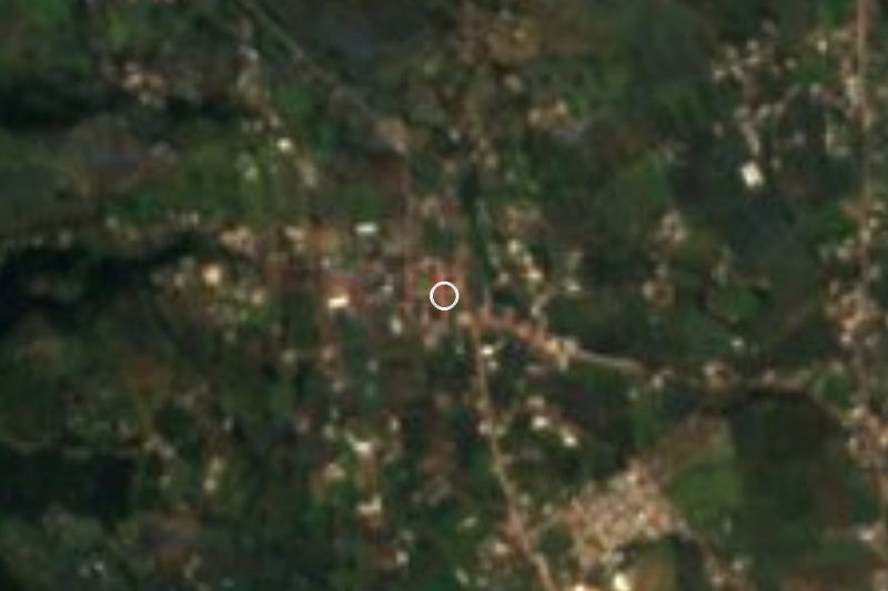
Location from OpenStreetMap. Written by Puebloteca.